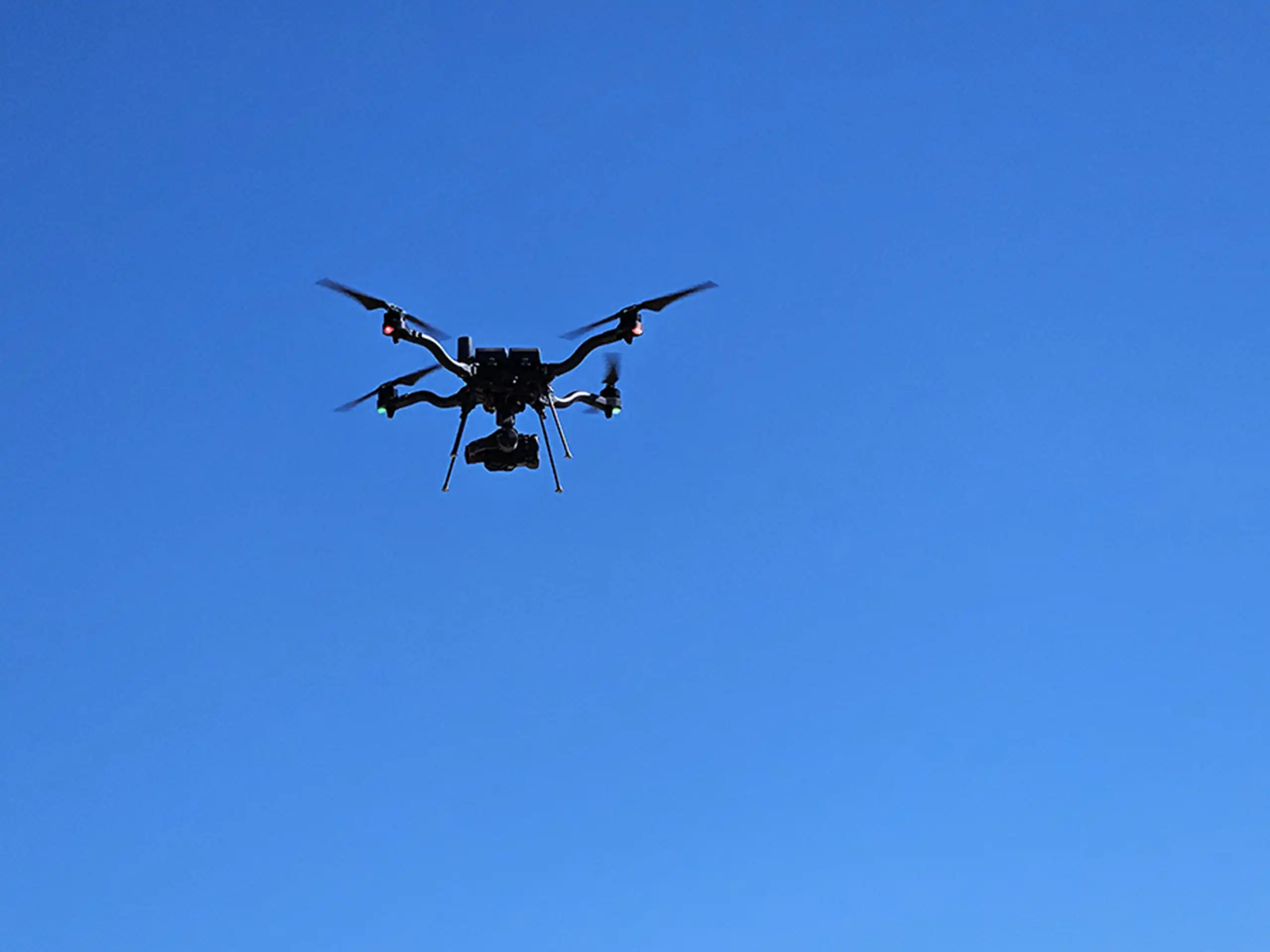
LiDAR has been a powerful mapping tool for decades, but it was primarily used on fixed wing aircraft or helicopters, so the cost of a flight made LiDAR a niche tool for big budget projects. With the advancements in drone payload capacity and availability, drones have made LiDAR a tool within reach for most construction projects.
But what exactly is drone LiDAR, and why is it such a game-changer for industries like construction, environmental management, and land development?
How Drone LiDAR Works
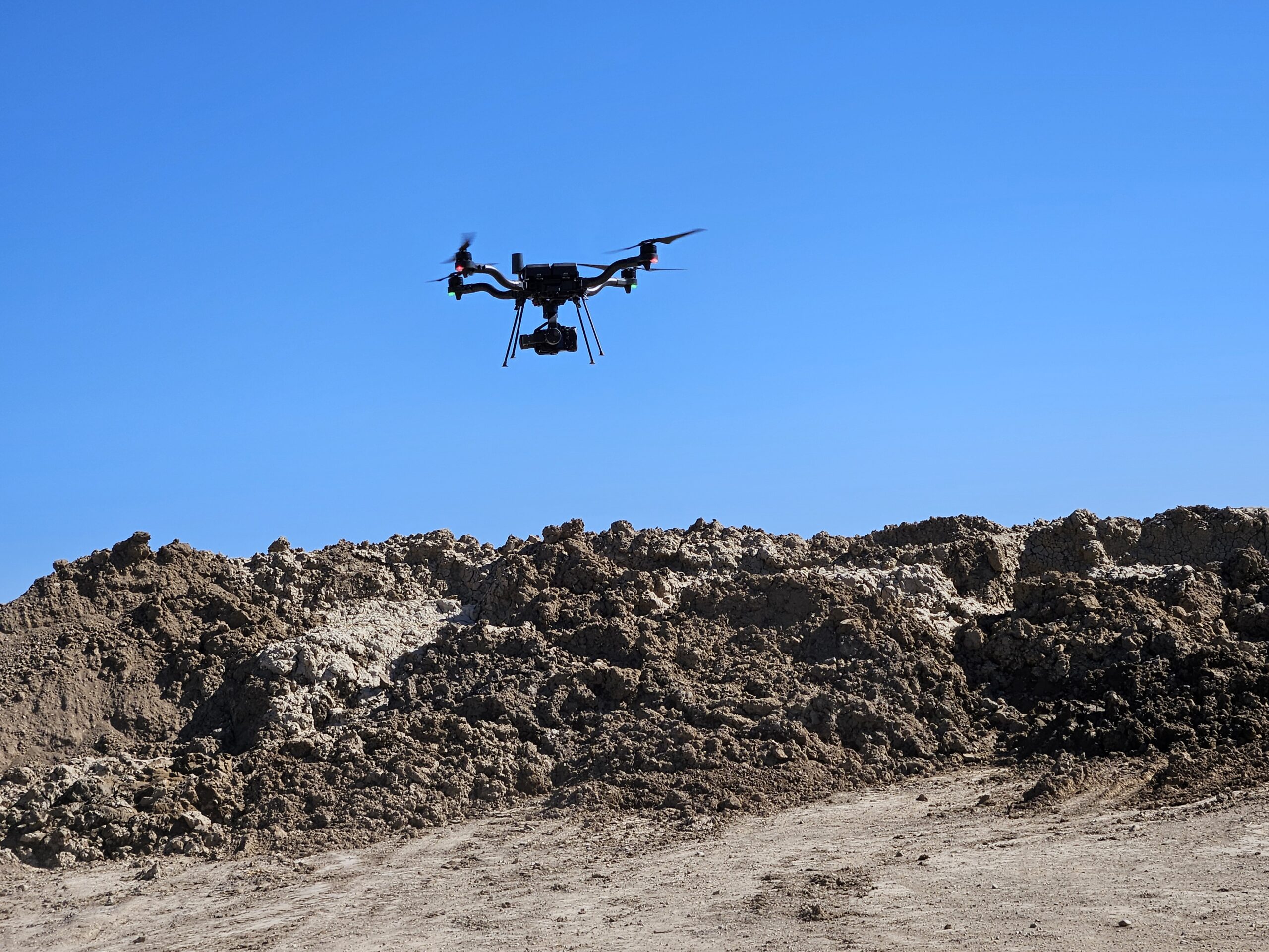
LiDAR—short for Light Detection and Ranging—uses rapid laser pulses to measure distance. When mounted on a drone, the LiDAR sensor sends thousands of laser pulses per second toward the ground. Each pulse hits a surface and reflects back to the sensor, allowing the system to calculate distance based on how long the pulse takes to return.
As the drone flies its preprogrammed mission route, these measurements are collected and stitched together to create a highly accurate 3D model of the terrain or structures below. Unlike traditional photogrammetry, LiDAR can penetrate vegetation, making it ideal for capturing ground elevation beneath tree canopy or brush.
Why Drone LiDAR Matters
Drone LiDAR has transformed the way teams capture data in the field. Reasons to use drone LiDAR include:
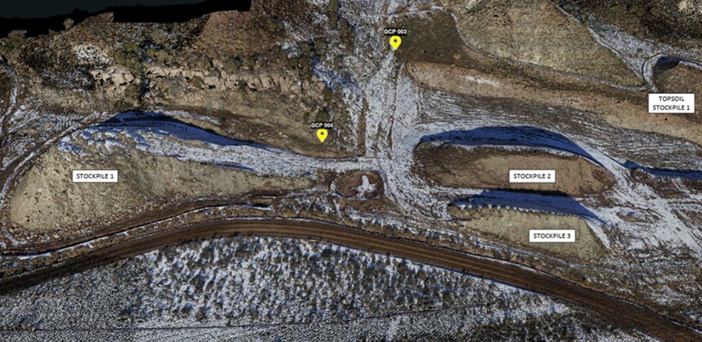
- 2 to 5 centimeter-level accuracy
- Reduces field time and labor costs
- Delivers actionable data much faster with lower backoffice cost and faster access to data.
- Minimizes safety risks by allowing surveys in hazardous or hard-to-reach areas
- Reads ground elevation through vegetation cover
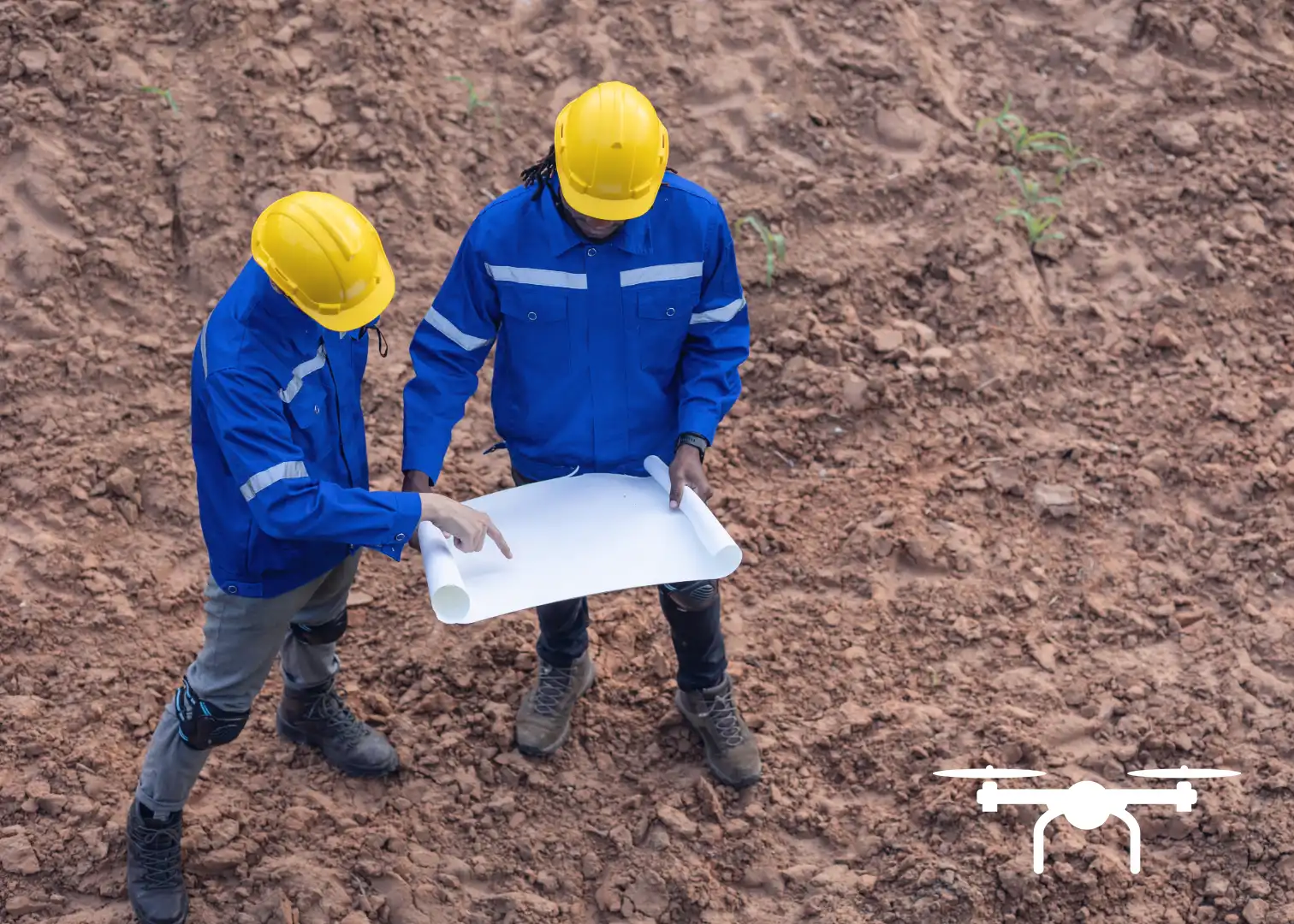
All of these factors are significant advantages over ground based survey teams. The result is site mapping that is far more accurate at a lower cost than traditional methods. For construction and earthwork projects, LiDAR provides precise topographic data to support grading plans, volume calculations, and ongoing site monitoring.
The Bottom Line
Drone LiDAR is more than just a high-tech tool—it’s a reliable, efficient, and highly accurate method for understanding the world in 3D. As regulatory requirements grow and project timelines tighten, LiDAR gives project teams better data, faster, with less on-site effort.
If you’re looking to improve your surveying, planning, or construction project management, aerial LiDAR may be the next step forward.