Environmental risk management is a critical component in construction, mining, forestry, and land development projects. Accurate, timely data is essential to identify potential hazards, prevent damage, and maintain regulatory compliance. LiDAR (Light Detection and Ranging) technology provides a high-resolution, data-driven approach to understanding terrain, vegetation, and site conditions — helping organizations reduce environmental risks efficiently.
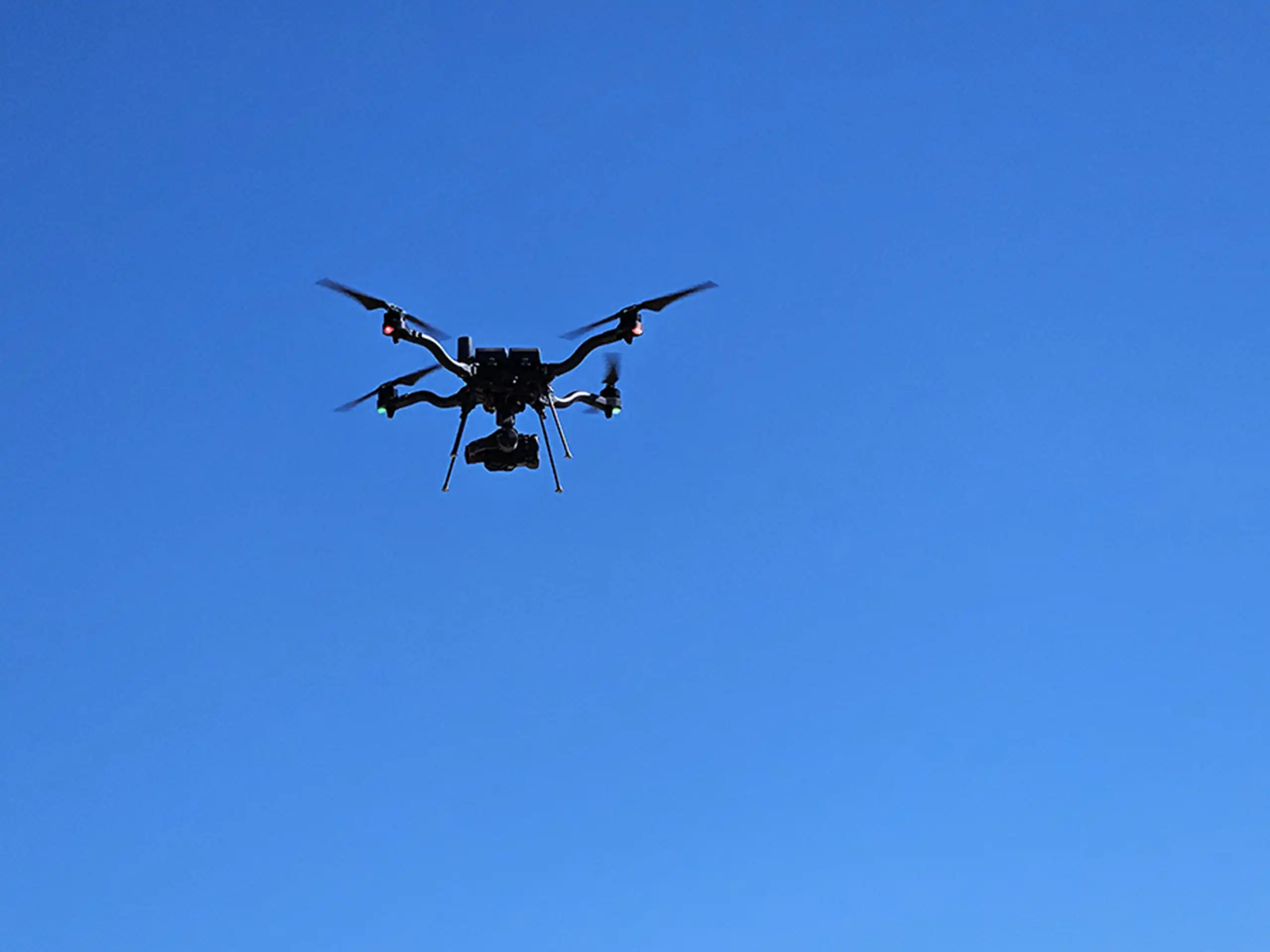
As we’ve discussed in previous blog posts, LiDAR is a remote sensing technology that sends out laser pulses which then come in contact with a surface and reflect back to the sensor. When attached to a drone, it collects detailed and repeatable data to create precise 3D maps of the Earth’s surface. Common uses within environmental risk management include:
- Topographic mapping for erosion and sediment control
- Floodplain and watershed analysis
- Vegetation and habitat monitoring
- Infrastructure and slope stability assessments
- Surveying densely forested areas to accurately assess deforestation rates and estimate carbon storage
- Precise measurement of secondary containment for SPCC plans
By capturing terrain details with sub-inch accuracy, LiDAR gives teams a clear picture of potential risks that may not be visible through traditional surveys.
Identifying Terrain-Related Risks
One of the key advantages of LiDAR is its ability to identify high-risk areas before any fieldwork or construction begins. This allows teams to take proactive measures to reduce environmental and operational risks. LiDAR provides high-resolution, three-dimensional data on terrain, slopes, vegetation, and drainage which can easily reflect potential hazards that otherwise might not be detected. For example, project teams can identify low-lying areas prone to flooding, unstable slopes at risk of erosion, or areas susceptible to sediment transport and soil loss. With this information, project planners in construction, mining, forestry, and conservation (to name a few) can optimize site design, prioritize risk mitigation, and monitor sensitive areas. Taking preventative action early helps minimize environmental incidents, improve safety, and reduce costs associated with remediation, regulatory compliance, or operational delays.
Protecting Vegetation and Sensitive Habitats
LiDAR can also be used to measure vegetation structure, including canopy height and density, which supports the assessment and protection of sensitive ecosystems. By analyzing how land-disturbing activities interact with surrounding landscapes, project teams can better identify areas of concern, evaluate potential impacts, and monitor changes over time. This data-driven insight helps inform mitigation strategies, supports long-term environmental management, and assists with meeting applicable regulatory and conservation requirements.
Real World Impact
Traditional survey methods can be time-consuming and may miss critical details. LiDAR speeds up data collection while delivering it with higher accuracy. On projects where LiDAR has been implemented, teams have seen measurable improvements in environmental outcomes. By identifying potential risks early and supporting informed planning and design, data-driven site analysis has contributed to improved environmental outcomes and more efficient project approvals.
LiDAR is more than just a high-tech tool — it’s a strategic advantage for managing environmental risk. Incorporating LiDAR into your project planning is a proactive step that safeguards the environment while keeping your project on track.
Want to see how LiDAR can reduce environmental risk on your next project? Contact our team today to discuss a tailored solution.