If you’re considering a LiDAR drone mapping service for your project, one of the first questions you’re likely to ask is, “How long will this actually take?” Whether you’re working against a construction deadline, preparing regulatory documentation, or planning a design phase, understanding the timeline can help you make informed decisions and keep your project moving.
The short answer: most LiDAR drone flights are impressively fast—but there’s more to the process than just flying a drone.
The Three Main Phases of LiDAR Drone Mapping
A LiDAR mapping service typically involves three key stages: site preparation, data collection, and data processing. Each phase plays an important role in ensuring your final deliverables are accurate, reliable, and ready to use.
1. Site Preparation and Ground Control
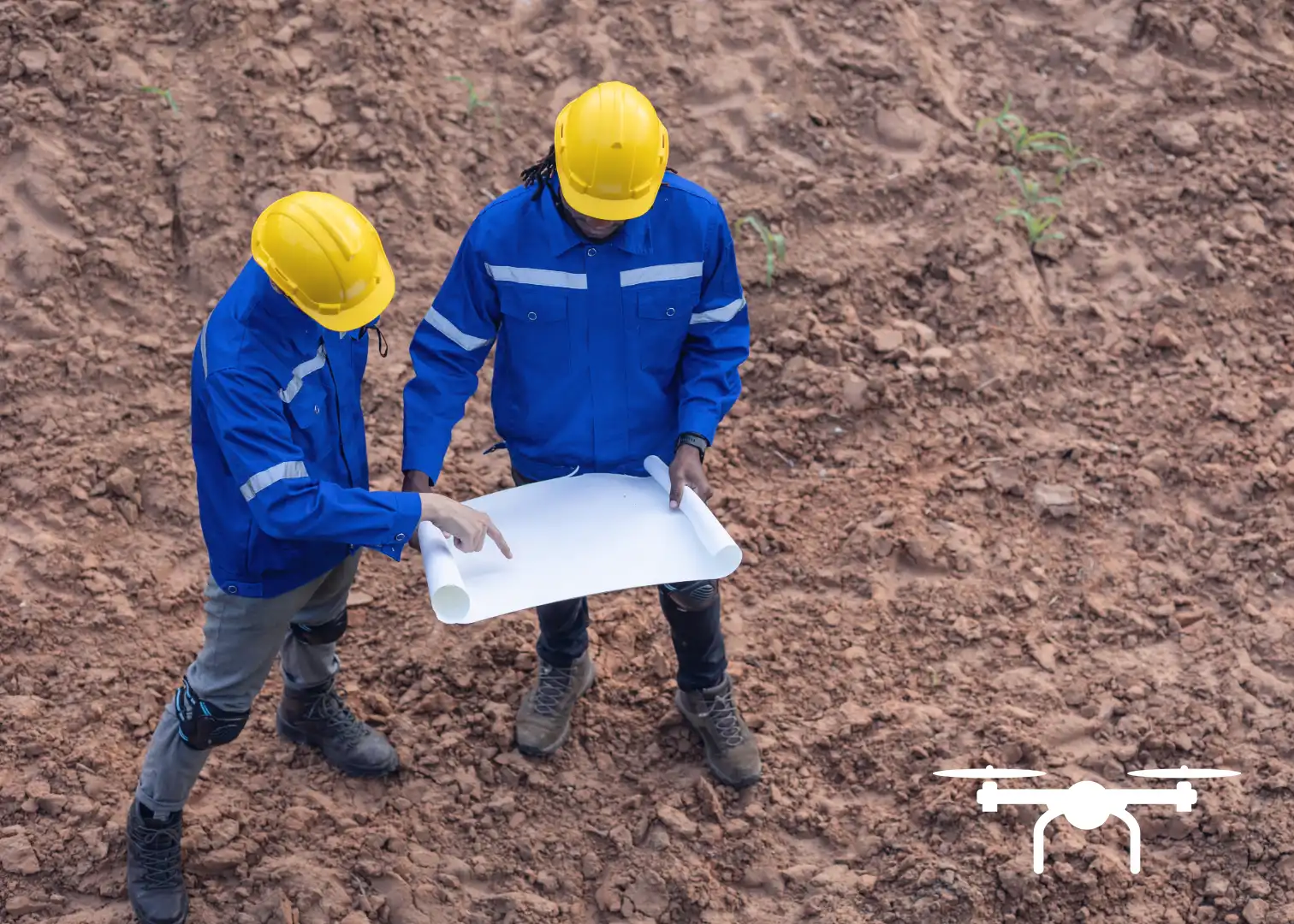
Before a drone ever takes off, the site will need to be prepared. This is a critical step and includes placing and surveying ground control points (GCPs) as well as setting up a base station to ensure the LiDAR data is tied to real-world coordinates.
For smaller or previously mapped sites, this step can be relatively quick. For larger, more complex, or first-time sites, setting ground controls can take several hours depending on access, terrain, and project requirements. Heavily vegetated or uneven areas may also require additional planning to ensure full coverage and accuracy.
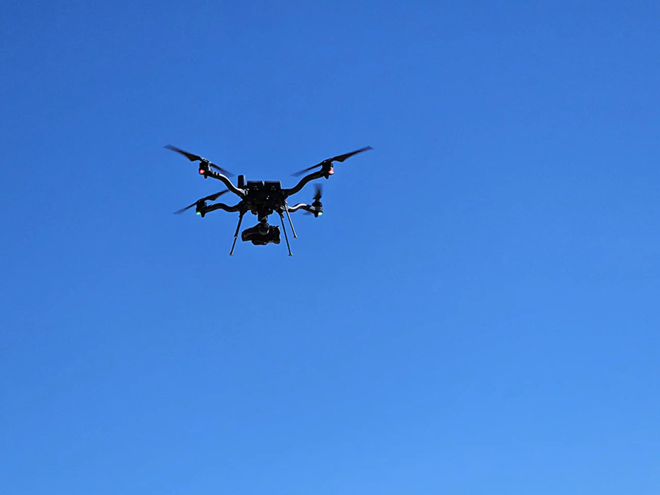
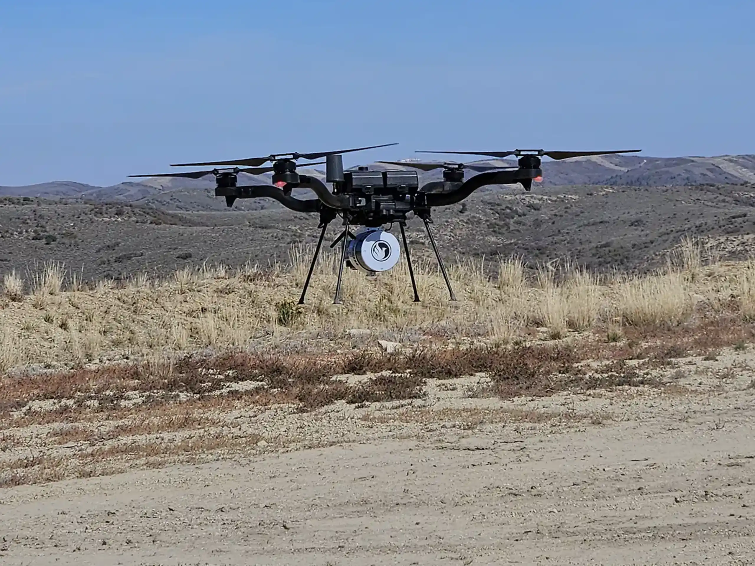
2. Flight Time: Capturing the Data
One of the biggest advantages of drone-based LiDAR is speed in the field. Most projects require only a few hours of actual flight time to collect a dense, high-quality dataset.
Because LiDAR uses thousands of laser pulses per second to scan the ground and surrounding features, large areas can be covered efficiently in a single session. Weather conditions, airspace restrictions, and site accessibility can influence scheduling, but in most cases, the on-site portion of the survey is completed the same day.
3. Data Processing and Quality Control
After the drone flight, the real work begins behind the scenes. The raw LiDAR data must be processed, classified, and checked for accuracy. This includes separating ground points from vegetation and structures, verifying elevation accuracy, and generating deliverables such as:
- Topographic surfaces and contours
- Digital terrain models (DTMs)
- Point clouds
- Volume and grading data
- CAD or GIS-ready files
For standard projects, data processing typically takes 1–3 days. Larger sites, heavily vegetated areas, or projects with strict accuracy or regulatory requirements may require additional time for classification and quality assurance. Custom formats or advanced analysis can also add processing time.
Typical Turnaround Time
From start to finish, most clients can expect final deliverables within 2–5 business days. This includes site setup, flight, processing, and quality checks.
If your project has a tight schedule, Summit LiDAR can also provide expedited processing options and quote faster turnaround times to help meet critical deadlines.
Work With a Team That Keeps Your Project Moving
At Summit LiDAR, we understand that timelines matter. Our experienced team handles everything from ground control and flight planning to processing and final deliverables. We provide reliable, ready-to-use information without delays.
If you’re on a tight timeline or just exploring whether LiDAR is the right fit for your project, reach out to Summit LiDAR. We’re always happy to talk through your goals and help you find the best path forward.