LiDAR has been a powerful mapping tool for decades, but it was primarily used on fixed wing aircraft or helicopters, so the cost of a flight made...
High-Precision LiDAR Data for Critical Decision-Making.
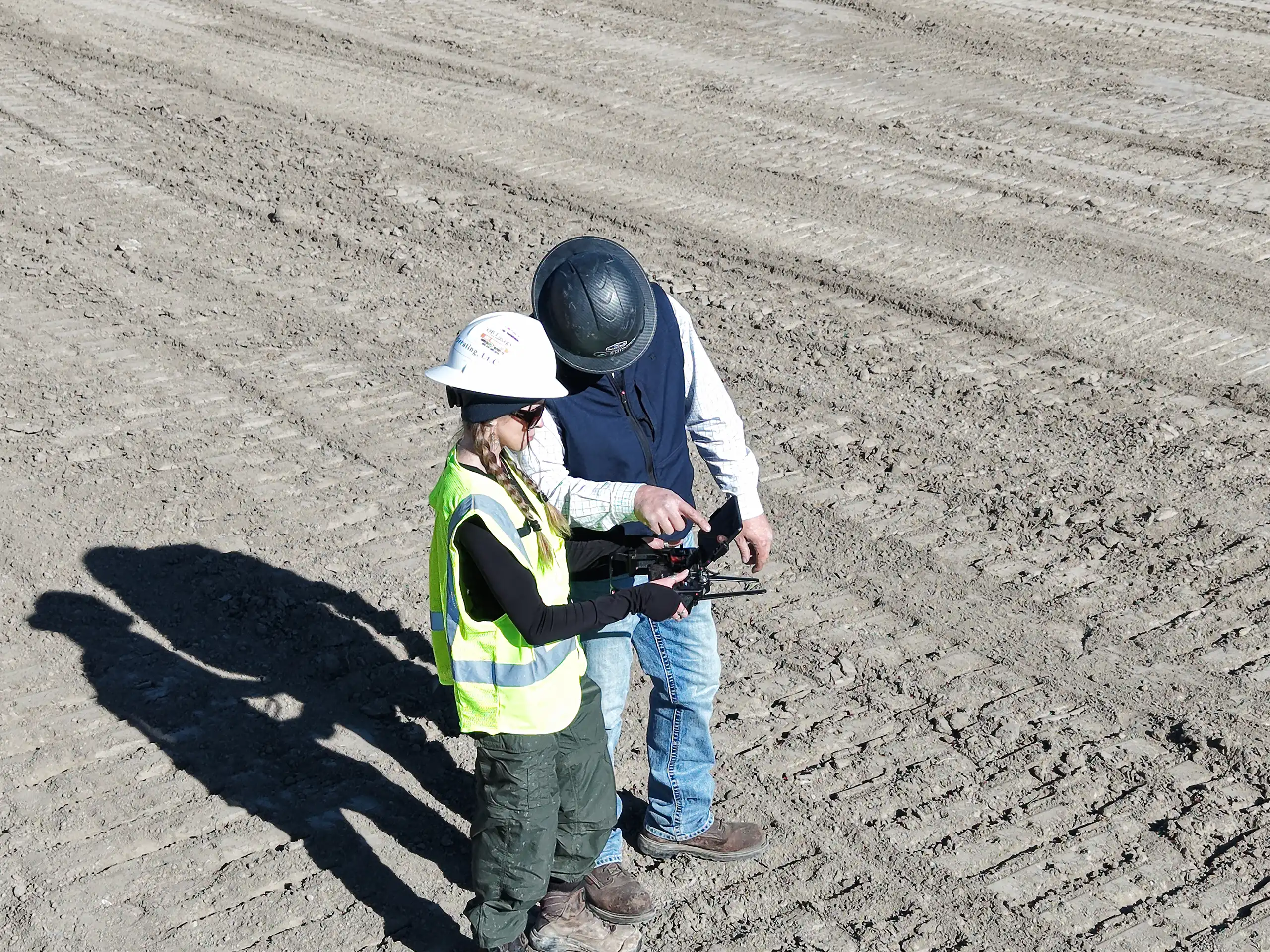
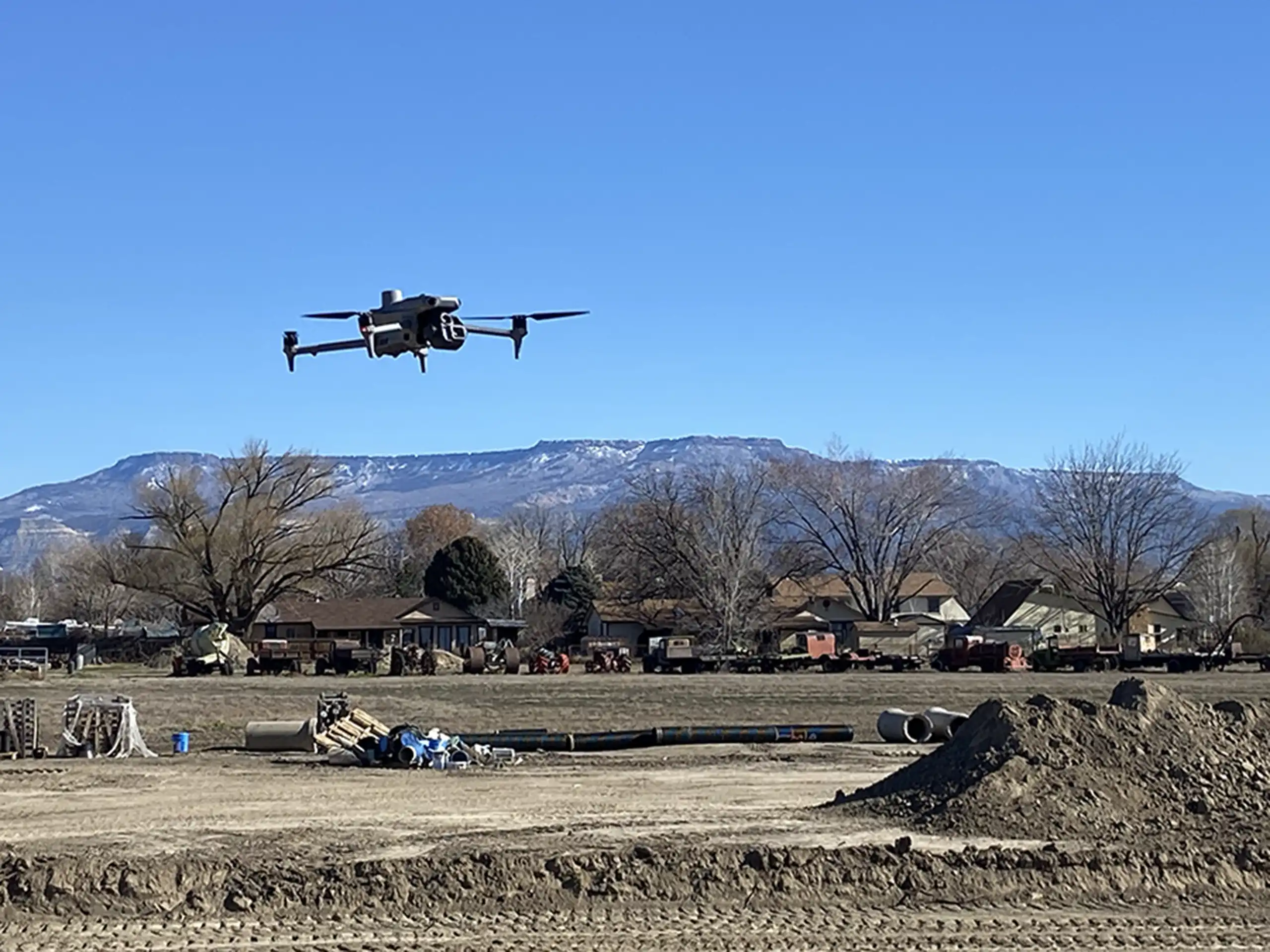
Exploring the intersection of aerial technology and traditional surveying.
LiDAR has been a powerful mapping tool for decades, but it was primarily used on fixed wing aircraft or helicopters, so the cost of a flight made...