As drone technology becomes more commonplace across a diversity of fields, two data-collection methods are often compared: LiDAR and photogrammetry. While both can be used with a drone to create maps, models, and measurements from the air, they work very differently and are suited for different types of projects. Understanding how they compare can help you choose the right tool for your site, timeline, budget, and level of accuracy required. In this post, we’ll break down how LiDAR and photogrammetry differ—and how to determine which option is the better fit for your project.
LiDAR Explained
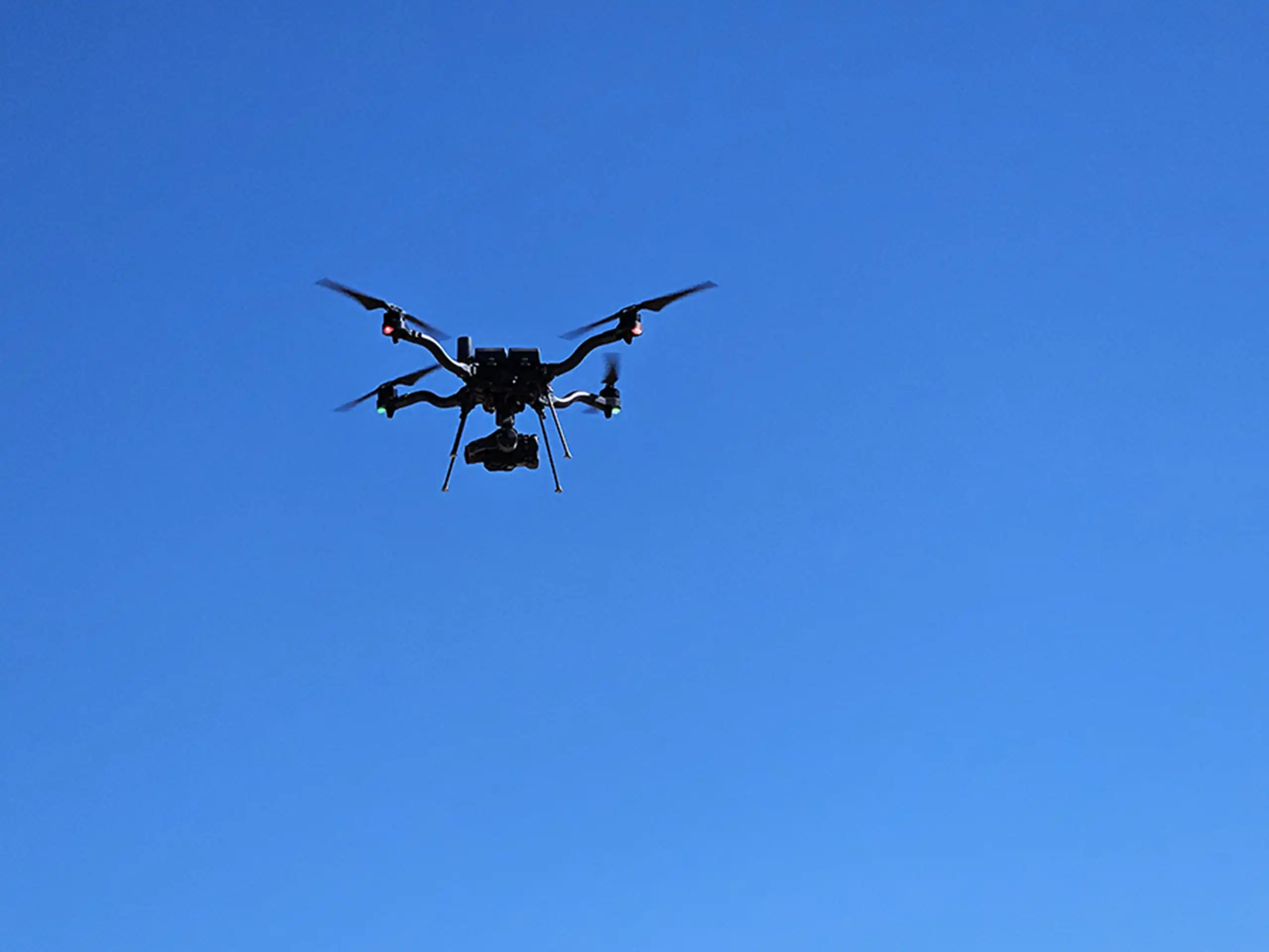
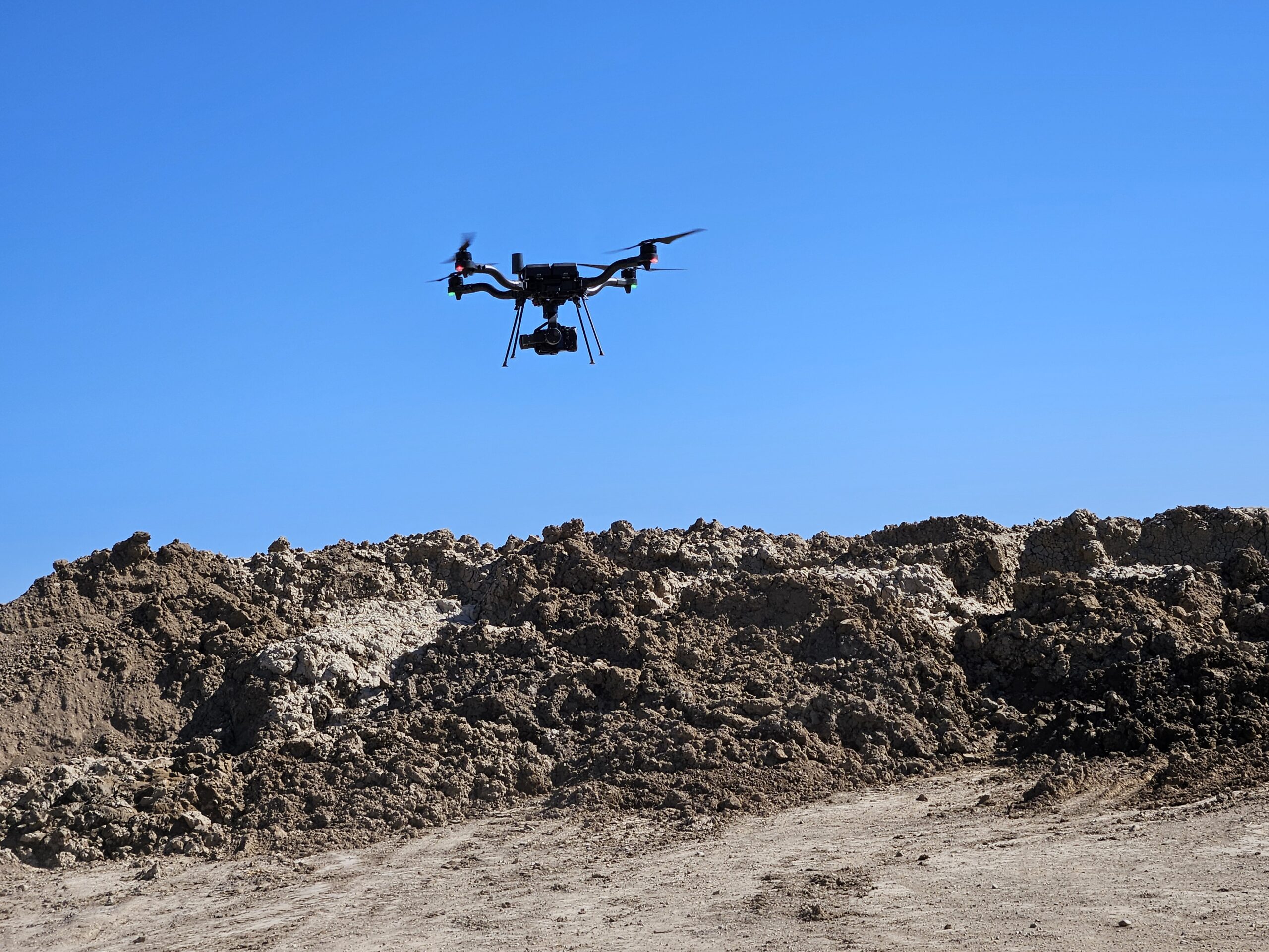
LiDAR (Light Detection and Ranging) uses laser pulses to measure distances between the sensor and the ground. When mounted on a drone, LiDAR sends out thousands of laser pulses per second and measures how long they take to return, creating a highly detailed 3D representation of the terrain. One of LiDAR’s biggest advantages is its ability to penetrate vegetation, allowing it to capture true ground elevation even in forested or overgrown areas. Because of its accuracy and consistency, LiDAR is often used for topographic surveys, mass grading, measuring volumes of stockpiles, landfills, and quarries, and regulatory compliance applications where precise elevation data is critical.
Photogrammetry Explained
Photogrammetry works by capturing overlapping aerial photographs and using software to stitch them together into 2D maps and 3D models. Instead of lasers, it relies on visual imagery and reference points to calculate distances and elevations. Photogrammetry is highly effective for capturing surface details, textures, and visual context, making it a popular choice for site imagery, construction progress tracking, volumetric measurements, and visual presentations. While it can produce accurate results under the right conditions, photogrammetry generally requires clear visibility of the ground and performs best in open areas with minimal vegetation.
Key Differences Between LiDAR and Photogrammetry
The primary difference between LiDAR and photogrammetry lies in how data is collected and what each method does best. LiDAR excels at capturing accurate elevation data and mapping ground surfaces beneath vegetation, while photogrammetry shines in visual detail and surface modeling when vegetation is not present. LiDAR datasets tend to be more consistent across challenging terrain, whereas photogrammetry can be impacted by shadows, lighting conditions, and ground cover. Both technologies generate valuable spatial data, but their strengths serve different project needs.
Which One Is Better?
There is no one-size-fits-all answer—LiDAR and photogrammetry are tools, and the “better” option depends on your project goals. If your project requires high-accuracy elevation data, drainage analysis, or compliance documentation, LiDAR is often the better choice. If you need visual context, detailed imagery, or cost-effective surface modeling for simpler sites, photogrammetry may be sufficient. In many cases, combining both technologies provides the most complete understanding of a site, delivering both precise measurements and clear visuals.
Cost differences
This is another area where “it depends” is a real thing, not just a way to avoid answering the question. In the case of Summit LiDAR, photogrammetry has a price advantage because the smaller drone is less expensive, the camera/sensor is less expensive, it flies faster, and is paired with one particular software to generate results in the most helpful formats.
In the case of LiDAR, the larger aircraft with a bigger payload, combined with the cost of the actual LiDAR gear result in a higher cost per flight. The LiDAR is also processed through a more complex software and requires more input from the pilot and GIS specialist to best present the data.
The result is that photogrammetry missions may start at $500 and go as high as a few thousand dollars per day. LiDAR missions start closer to $1500 (ideal conditions and location) and can be as high as $10,000 per day, but mostly will be in the $2500 to $5000 range. Most projects are flown in one day, but very large projects may require multiple days or multiple missions to complete them well.
In both cases, however, the cost of the mission is extremely competitive with other possible mapping or data collection methods. And the value, of course, depends on how the information gathered can be used to streamline planning, improve production, and avoid unseen risks.
The value question is where we believe Summit LiDAR shines. Because our team understands construction, infrastructure, the energy sector and large asset situations, we can collaborate with you to ensure the information you get is actionable, and therefore truly affordable.