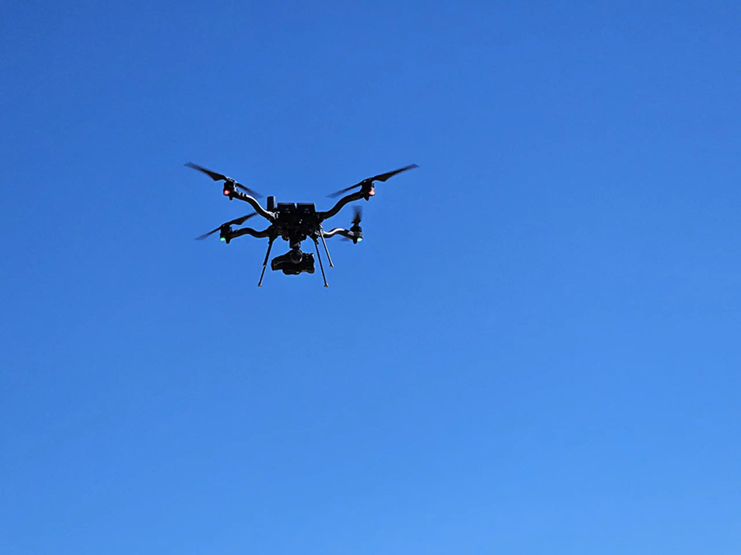
Drone LiDAR is one of the most powerful tools in construction, engineering, and environmental compliance. LiDAR delivers highly accurate 3D data that teams can rely on for planning, design, verification, and regulatory documentation. Whether you’re moving dirt, managing long-term stormwater features, or ensuring SPCC compliance, drone LiDAR provides clarity and confidence that traditional surveying methods often can’t match.
In this post, we break down the most practical and valuable ways organizations are using drone LiDAR today.
Mass Grading & Earthwork Planning
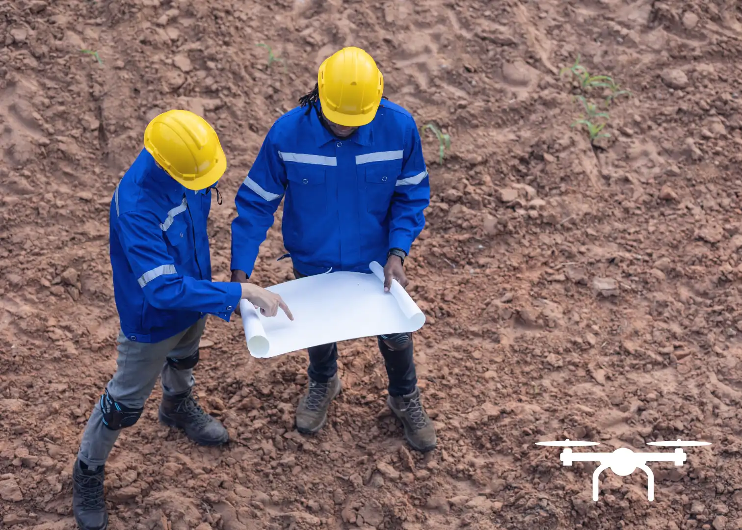
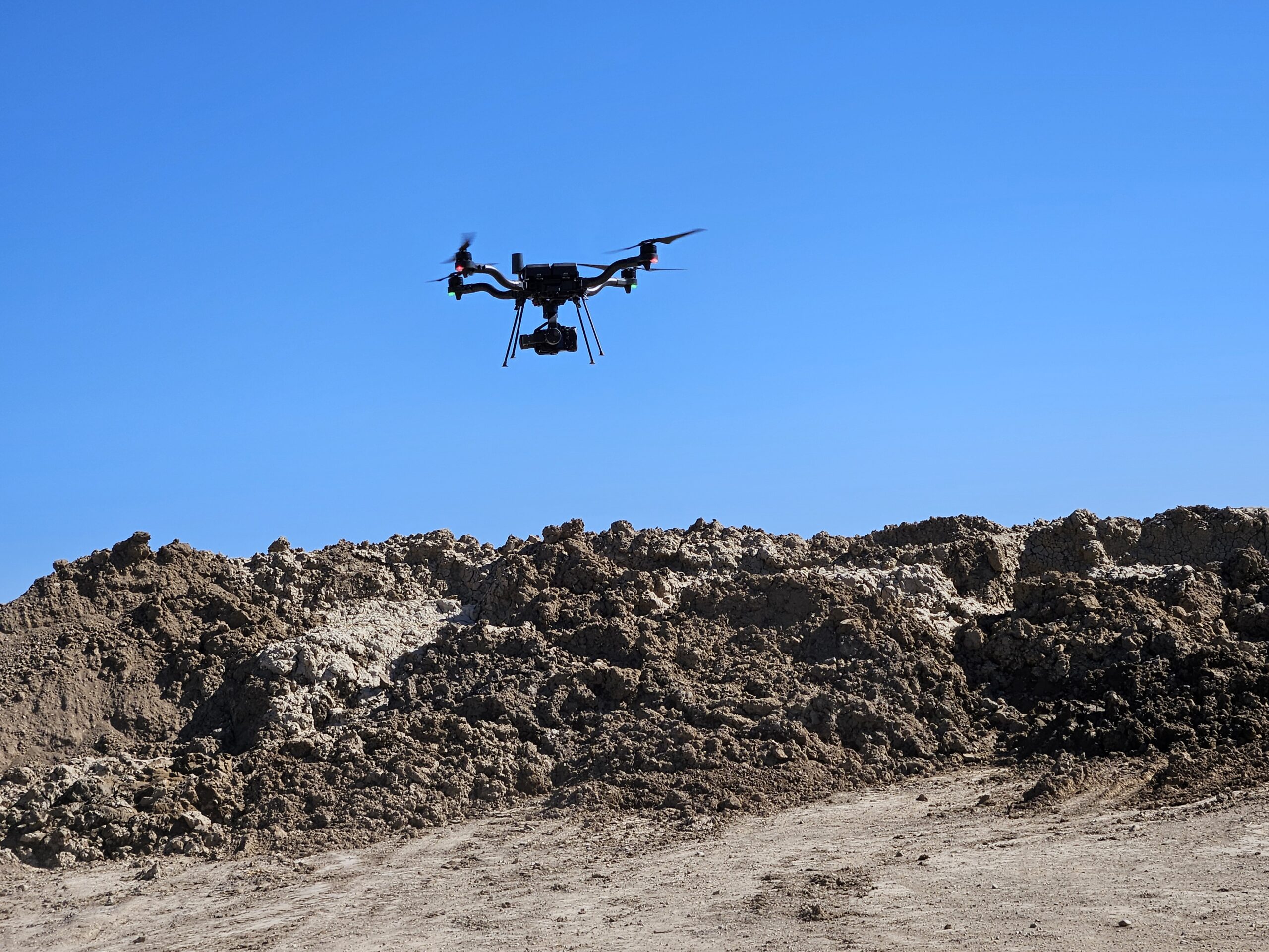
For large earthwork jobs, knowing exactly how much material needs to be moved is critical. Aerial LiDAR makes this process easier by capturing millions of data points in a single flight, even in areas with vegetation or uneven terrain.
Because the data shows true ground elevation, crews can calculate cut/fill volumes more confidently, verify work completed by subcontractors, and track progress throughout the project. This reduces the chances of delays, misunderstandings, and costly rework.
Stormwater Compliance & MS4 Requirements
Stormwater regulations increasingly require detailed documentation of drainage features, both during active construction and after a site has been stabilized. Drone LiDAR supports MS4 programs by:
- Mapping flow paths and drainage patterns
- Documenting permanent stormwater control measures (detention basins, bioretention, channels, swales)
- Supporting annual and long-term inspection reporting
The dense elevation data helps permittees understand how stormwater actually moves across a site—and whether installed features are functioning as designed.
SPCC: Calculating Secondary Containment Volumes
LiDAR is also extremely helpful when it comes to SPCC (Spill Prevention, Control, and Countermeasure) requirements. Facilities with tanks or storage areas often need to prove that their containment structures can hold a specific volume.
Using drone LiDAR, teams can quickly measure the size and shape of a containment area and calculate its volume with far more accuracy than manual measuring methods. This ensures compliance, avoids overbuilt structures, and makes documentation easier for annual reviews or regulatory inspections.
This need for verification is critical as sites change over time, so using LiDAR for annual inspections is a valuable step forward compared to manual measurements of containment capacity on site.
Real-World Uses Beyond Grading and Compliance
While the applications mentioned above are just a few examples, LiDAR supports many other project needs as well. It’s used to update site plans, monitor construction progress, map drainage patterns, and assist with utility planning. Because the data can be collected quickly and safely, it’s ideal for complex or hard-to-access sites.
Why Work With a Professional LiDAR Team
LiDAR’s value depends heavily on expertise. Factors like flight planning, ground controls, sensor selection, and post-processing of data determine the accuracy of the final deliverables.
A qualified LiDAR provider should offer:
- High-quality sensors and ground control integration
- Experienced pilots and data processors
- Clear, usable deliverables (surfaces, contours, volumes, reports)
- A strong understanding of construction, environmental, and compliance needs
Summit LiDAR provides reliable drone LiDAR solutions tailored to contractors, engineers, municipalities, and environmental teams. From mass grading to SPCC containment calculations, we deliver accurate, actionable data that supports better decision-making.
Ready to see how drone LiDAR can streamline your project? Reach out to Summit for accurate mapping, faster turnaround, and data you can trust.