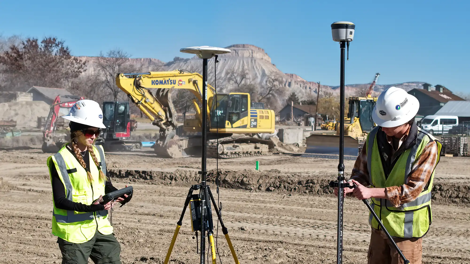
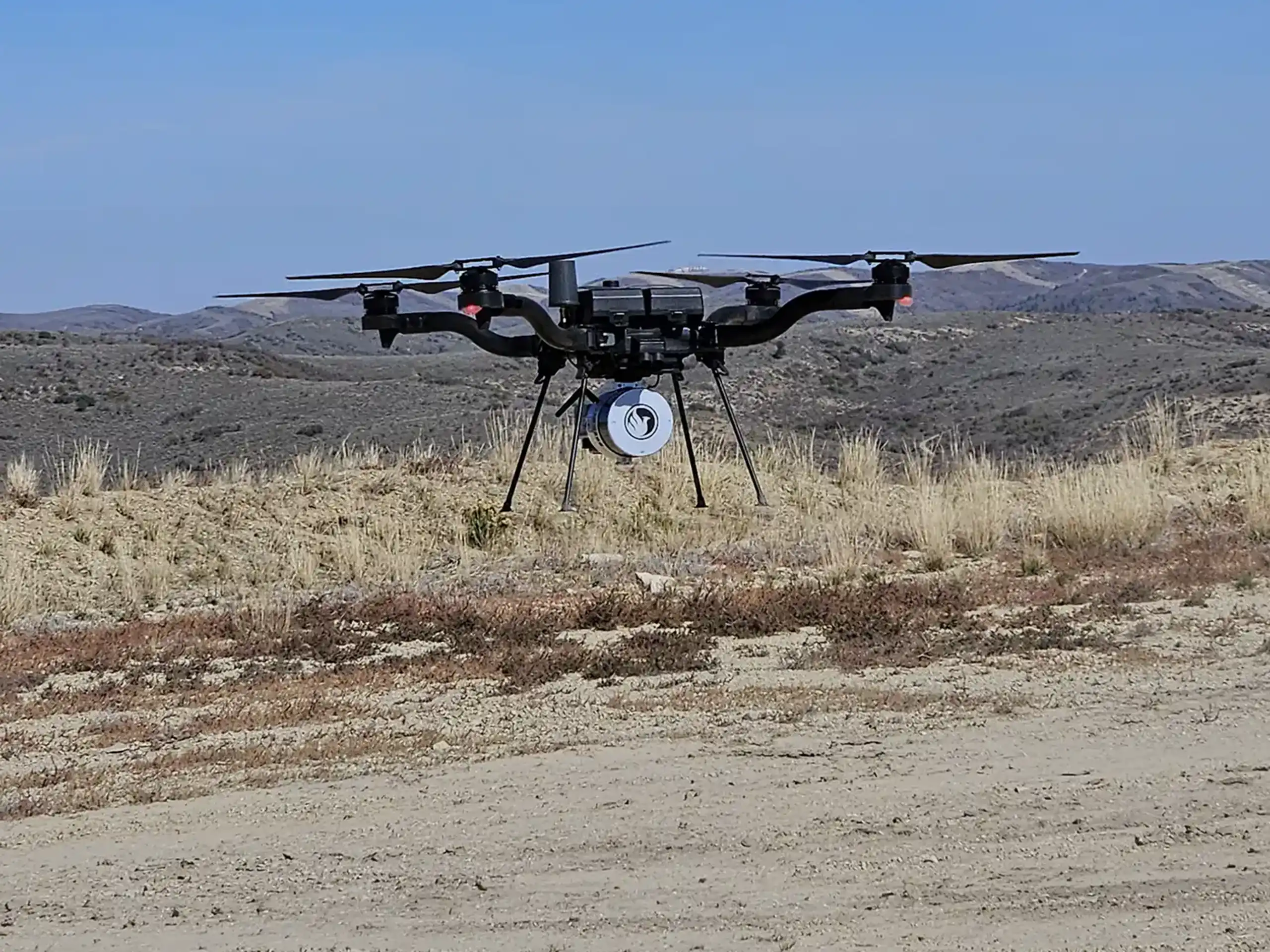
LiDAR drone technology delivers fast, highly accurate data for teams in planning, design, and construction. As a drone service provider in Colorado, we handle the regulatory side of every flight so our clients don’t have to. Still, it helps to understand how LiDAR drone permits work and what’s required before data collection begins.
Our Pilots Operate Under FAA Part 107
All commercial LiDAR drone flights in the United States fall under Federal Aviation Administration (FAA) regulations. Our licensed pilots operate under their own FAA Part 107 Remote Pilot Certificates, which allows us to legally perform commercial drone operations on behalf of our clients.
We take responsibility for:
- Maintaining active Part 107 certifications
- Registering and tracking our aircraft
- Following FAA flight rules, altitude limits, and visibility requirements
- Securing airspace authorization when needed
Clients never need to obtain a drone license or FAA approval themselves when working with us.
Airspace Authorization Is Our Responsibility
Airspace restrictions can affect when and how a LiDAR drone flight occurs. Sites near airports or within controlled airspaces may require FAA authorization before flight. Additional restrictions can apply near military installations, national parks, and other federally managed lands, where drone operations may be limited or prohibited under agency-specific regulations.
Our team reviews airspace restrictions early in the planning process. If authorization is required, we submit and manage the request. This approach prevents delays and ensures compliance before we arrive on site.
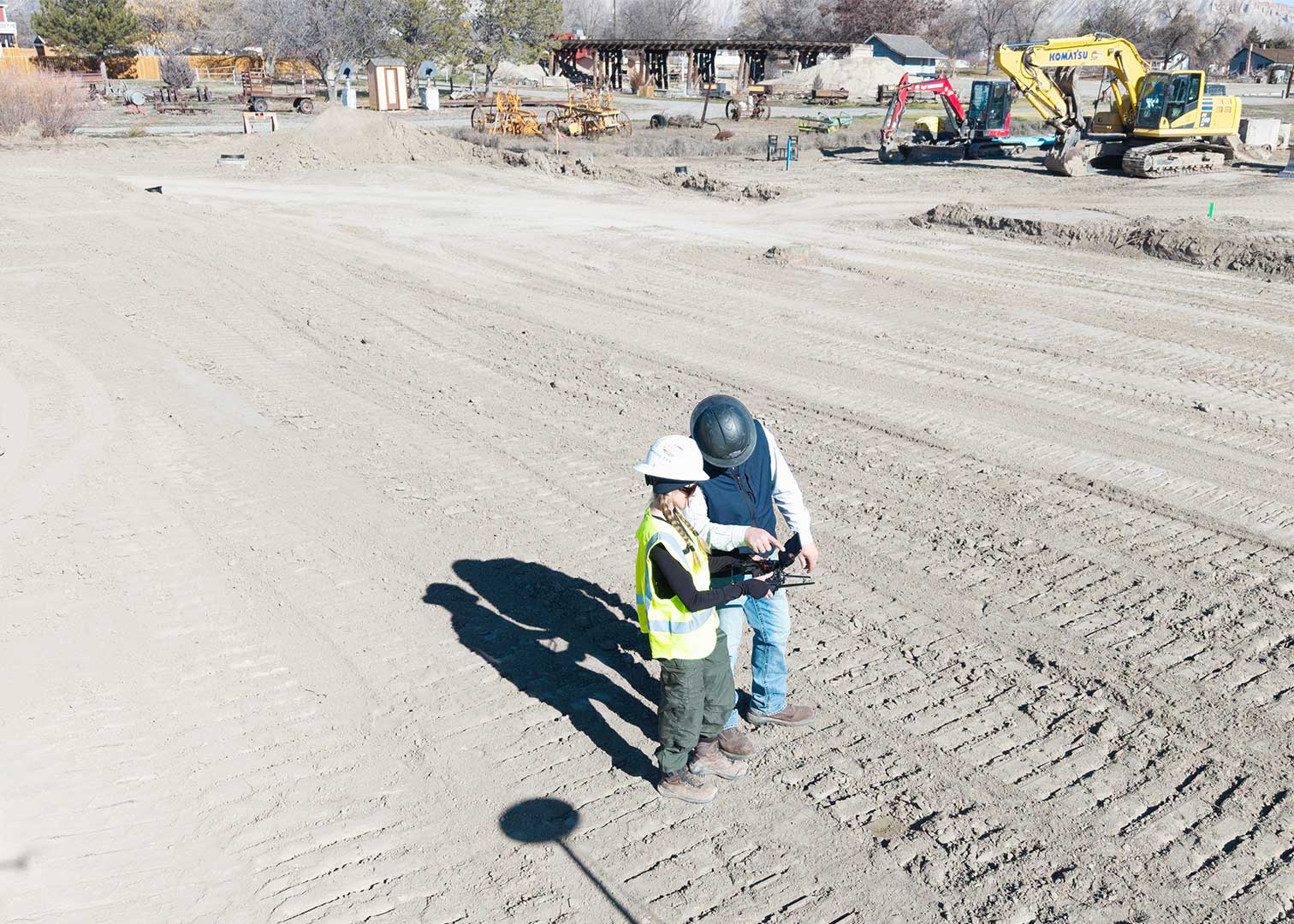
Site Access and Coordination Still Matter
While we manage FAA compliance, site access still requires coordination with property owners, construction managers, or site supervisors. We work directly with on-site teams to identify safe launch locations and schedule flights around active operations.
Clear communication helps keep crews safe and projects moving.
We Handle the Permits So You Can Focus on the Project
LiDAR drone permitting doesn’t have to be complicated. When you work with us, we manage the regulatory requirements, flight planning, and airspace coordination from start to finish.
If you’re planning a LiDAR drone mapping project and want a compliant, experienced team, we’re ready to help. Our licensed pilots ensure every flight meets FAA requirements and delivers reliable, high-quality data.