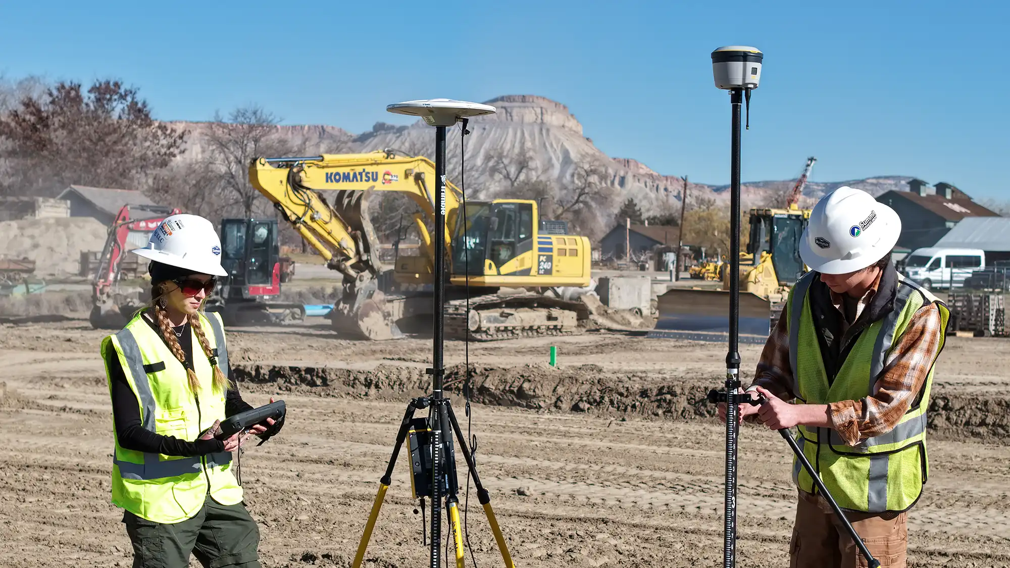
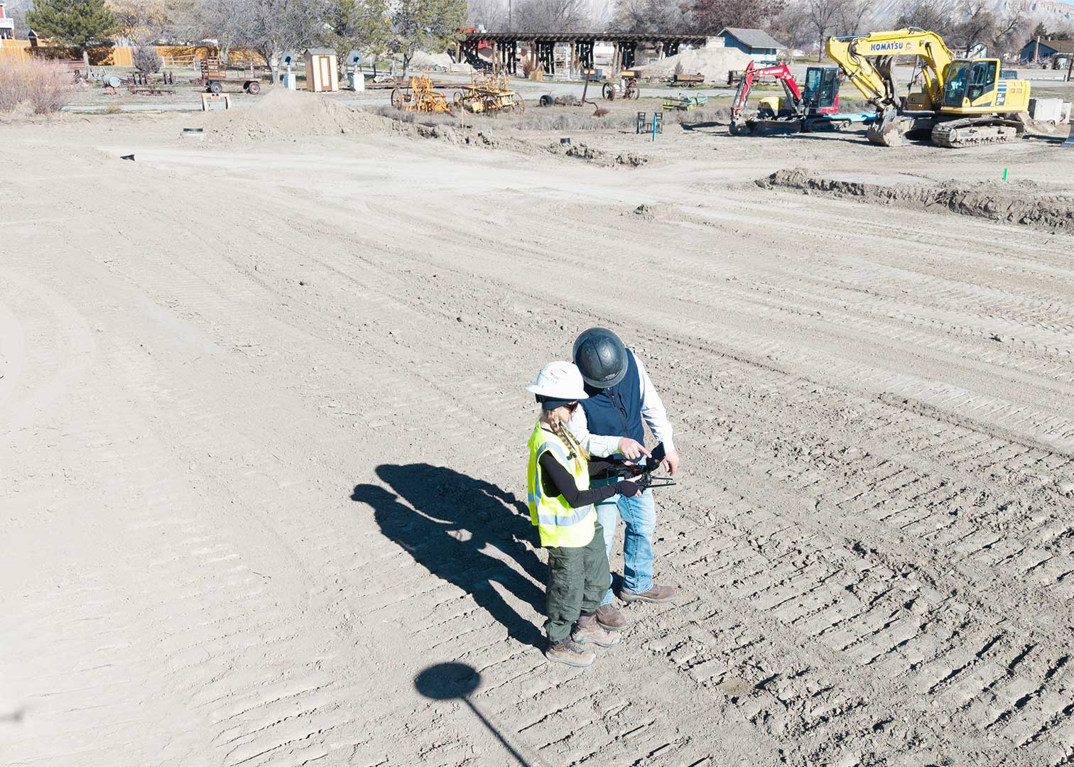
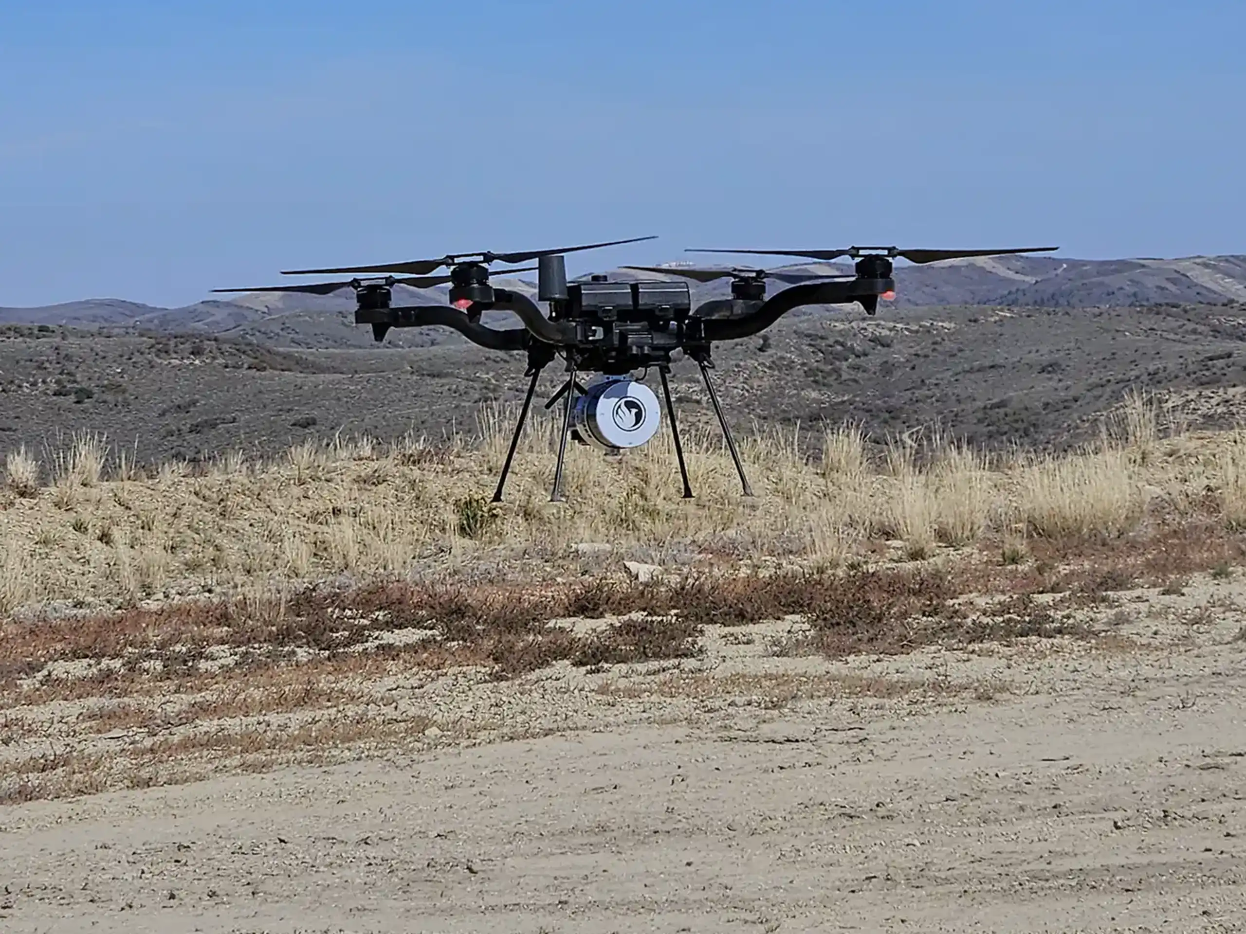
LiDAR drone surveys deliver highly accurate elevation data, detailed terrain models, and fast site coverage. They provide support for construction planning, stormwater compliance, volumetric calculations, and project analysis – to name a few.
However, LiDAR drones are not perfect. Like any technology, they have limitations. Understanding these limitations helps project teams plan smarter and set realistic expectations.
Cost Compared to Standard Drone Surveys
LiDAR drone surveys typically cost more than standard photogrammetry surveys. LiDAR sensors are advanced pieces of equipment. They require specialized hardware, calibration, and processing software. The aircraft that carry them are also more sophisticated. The advancement in data collection and processing results in an increased price point.
For projects that only require basic imagery or simple mapping, a standard drone survey may be more cost-effective.
Impacts of Weather
LiDAR drones are weather dependent. Rain, fog, and snow can reduce data quality. Moisture in the air interferes with laser pulses. Strong winds can also affect flight stability and accuracy. Cold temperatures may reduce battery performance and extreme heat can limit safe flight times.
Planning around weather windows is critical for successful LiDAR data collection.
Limited Flight Duration
Drone battery life limits flight time. Most LiDAR drone systems operate for a limited period before requiring battery replacement. Large or complex sites may require multiple flights to achieve full coverage.
Regulatory and Airspace Restrictions
LiDAR drone surveys must comply with FAA Part 107 regulations. Flights in controlled airspace may require authorization. Certain locations, such as near airports or federal lands, may restrict operations. While requirements may not prevent LiDAR surveys, they can affect scheduling.
Plan Smart. Fly Smart.
LiDAR drone services remain one of the most powerful tools in construction and environmental consulting. When used correctly, they deliver detailed data that improves decision-making and project efficiency. By understanding the limitations of LiDAR drones, project teams can plan effectively, reduce risk, and select the right survey method from the start.
If you’re evaluating whether a LiDAR drone survey is right for your project, our team can help you determine the best approach.