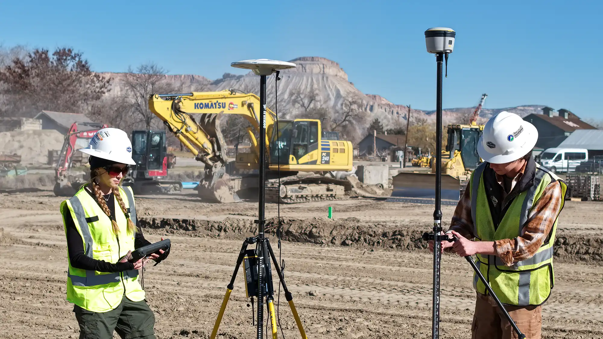
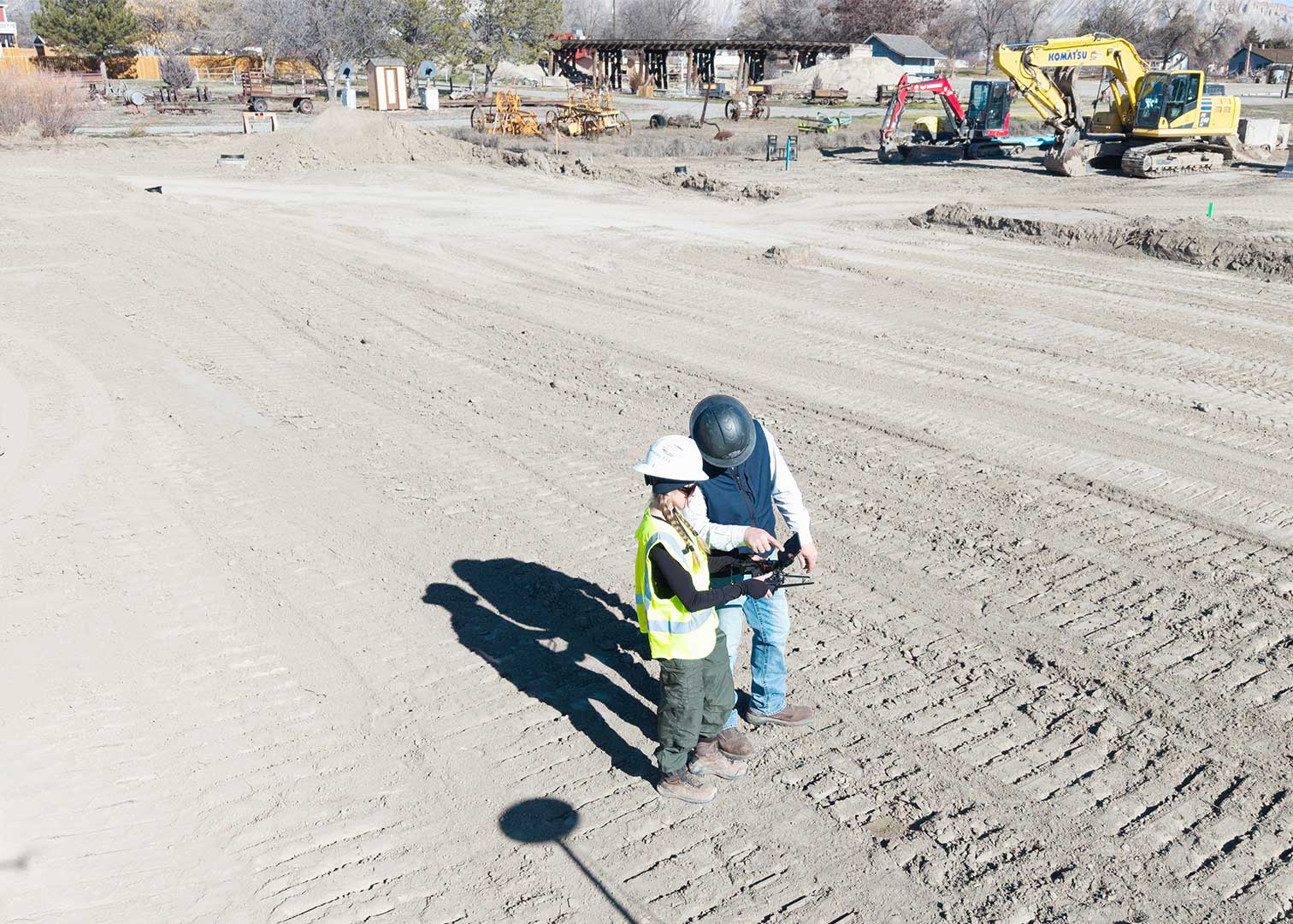
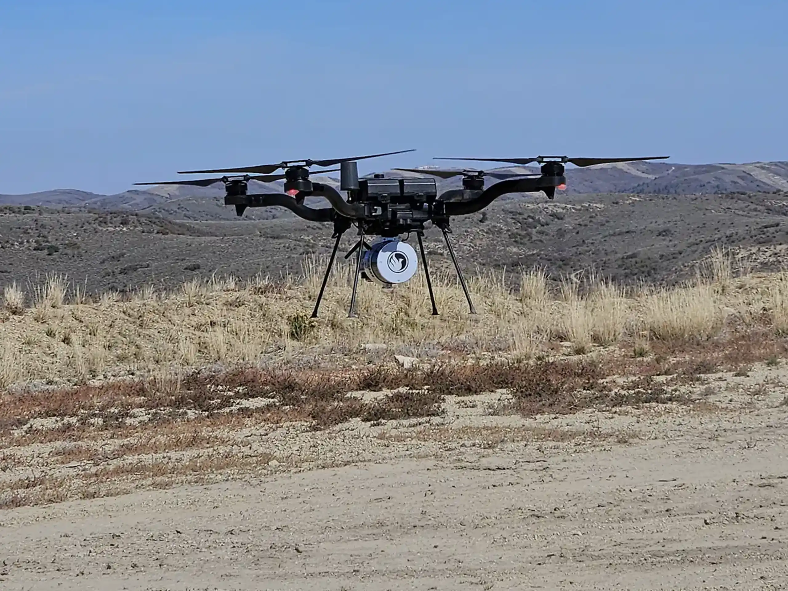
Flying a LiDAR drone over a job site is only half the job. The data that comes off the drone — raw point clouds, navigation logs, and sensor readings — isn’t something you can open in a spreadsheet or hand off to a client. The common question is then, how does the drone flight result in the deliverables clients receive? At Summit LiDAR, we use one of the most advanced post-processing platforms available to make that transformation happen quickly, accurately, and with full transparency.
The Platform Behind Our Processing: LiDARMill
Once the raw LiDAR data is collected from the drone flight, it needs to go through several critical stages before it becomes usable. Traditionally, that process required specialized software on high-powered workstations, multiple tools stitched together by expert technicians, and turnaround times measured in days or even weeks. We built our workflow around a better approach: LiDARMill by Phoenix LiDAR Systems.
LiDARMill is the original cloud-based LiDAR post-processing platform developed by Phoenix LiDAR Systems. Rather than processing data on a local computer, LiDARMill runs on powerful remote servers and automates the entire pipeline — from the moment raw files are uploaded to the moment final deliverables are ready for download.
The result is faster turnaround, more consistent accuracy, and a streamlined experience for our clients from start to finish. We can track every project’s status in real time, run quality checks at each stage, and even invite clients to view and interact with their results through a built-in cloud viewer — no special software required on their end.
How the Process Actually Works
Here’s what happens behind the scenes after a Summit LiDAR flight concludes:
- Upload and Project Setup: Raw LiDAR data files and navigation logs are uploaded directly to LiDARMill and organized into a new project. The platform immediately gets to work.
- Trajectory Processing: LiDARMill’s NavLab pipeline fuses data from the drone’s GPS and inertial measurement unit (IMU) to calculate a highly precise flight path — essentially reconstructing exactly where the sensor was in three-dimensional space at every single moment of the flight. The accuracy of this trajectory determines the accuracy of the entire dataset.
- Point Cloud Generation: Using the computed trajectory alongside the raw laser scan and camera data, LiDARMill’s Spatial Fuser pipeline builds a calibrated, colorized 3D point cloud. At this stage, millions of raw data points become a structured, georeferenced model of the terrain and everything on it.
- Strip Alignment and Ground Classification Even with excellent flight planning, there are always slight variations between overlapping flight lines. LiDARMill’s LiDARSnap tool automatically minimizes those offsets, ensuring seamless accuracy across the full project area. This can be particularly valuable in dense vegetation or areas where GPS signal was intermittent during the flight. Simultaneously, an AI-powered classification engine separates ground returns from trees, buildings, power lines, and other above-ground features.
- Quality Assurance: Before any data leaves the platform, LiDARMill automatically generates a detailed QA/QC report with accuracy statistics at every stage. We review these reports on every project — they’re part of what lets us stand behind the precision of our deliverables.
- Export and Delivery: Final data is exported in industry-standard formats depending on what the project requires: LAS/LAZ point clouds, Digital Terrain Model (DTM) files, GeoTIFFs, TIN XML/LandXML for engineering applications, and contour shapefiles. Clients can receive files directly or explore their data interactively through the LiDARMill cloud viewer.
Why This Matters for Your Project
The combination of Phoenix LiDAR’s drone hardware and LiDARMill’s cloud processing means that Summit LiDAR can deliver survey-grade results on timelines that would have been unattainable just a few years ago. What once took days of desktop processing now often wraps up the same day as the flight.
For our clients, that speed translates directly into faster project decisions, tighter construction timelines, and lower overall survey costs. And because the entire workflow is automated with built-in quality checks, the accuracy is consistent across every project.
Whether you’re managing a large infrastructure project, planning a land development, developing a SPCC Plan, or just need a highly accurate picture of a site, Summit LiDAR’s drone services give you the data you need — processed, verified, and delivered efficiently.
Curious what LiDAR mapping could do for your next project? Reach out to the Summit LiDAR team to talk through your project’s goals.
Powered by Phoenix LiDAR Systems and LiDARMill — learn more at phoenixlidar.com/lidarmill