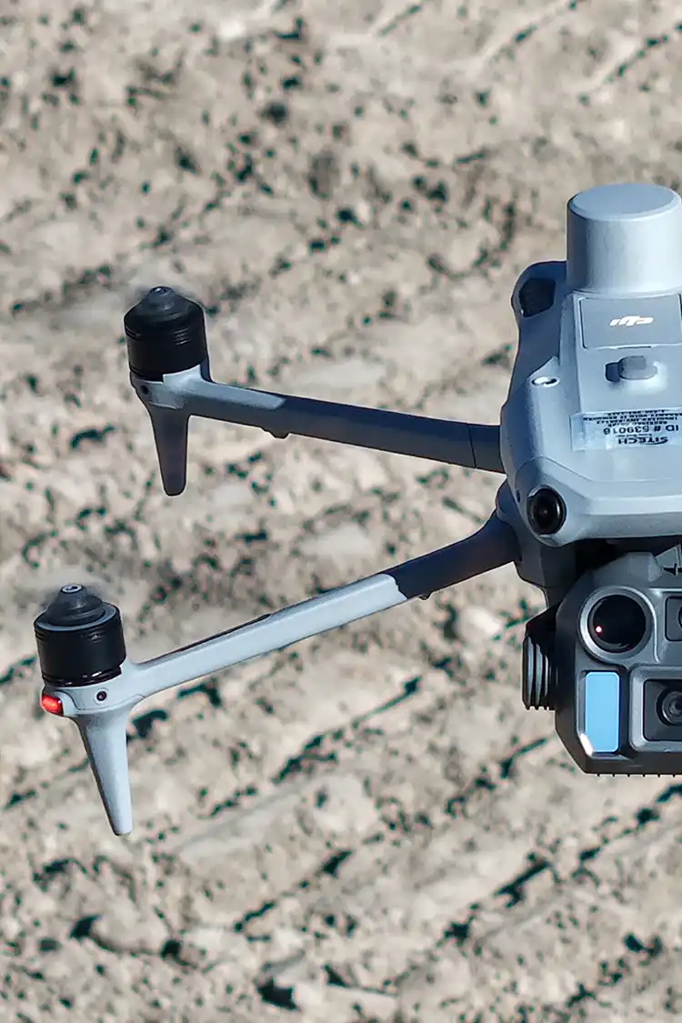
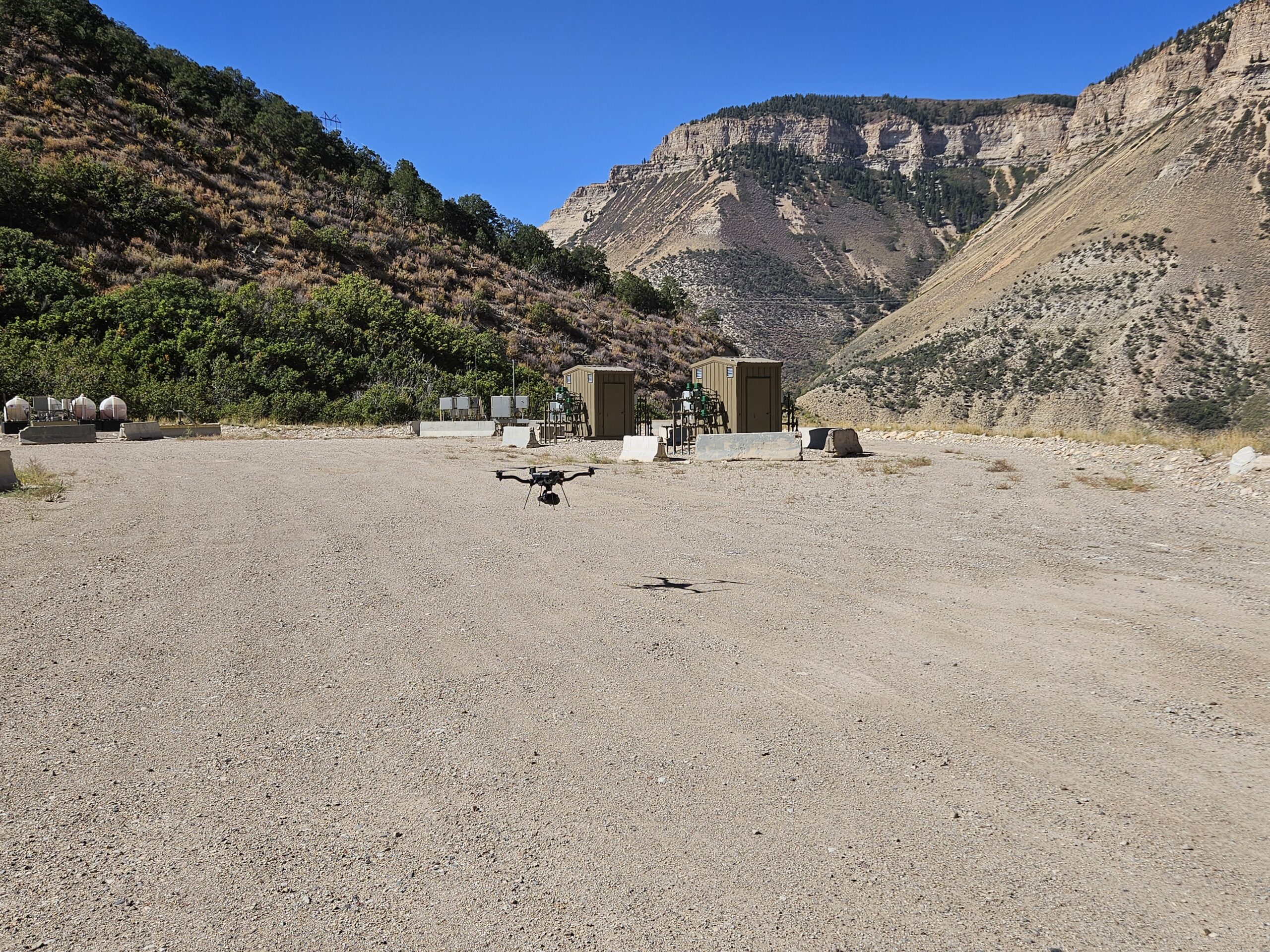
Spill Prevention, Control, and Countermeasure (SPCC) Planning is an essential part of the Oil and Gas Industry. Due to the danger that can occur from an oil spill, the EPA requires that facilities develop, maintain, and implement an oil spill prevention plan – in the case a spill ever takes place. LiDAR has proven to be an extremely useful, time efficient, and cost effective tool to figure out how liquids will move across a site and develop an SPCC Plan.
Why Use LiDAR for SPCC Planning?
SPCC compliance requires facilities to contain potential spills and prevent discharge into surrounding areas. To do that effectively, teams need to understand how fluid will behave on the ground.
LiDAR allows operators to:
- Capture precise elevations across the entire site
- Identify low points and natural flow paths
- Locate potential discharge points
- Model how a spill would move across the surface
Teams can use real data to confirm whether existing containment meets requirements or calculate how much additional capacity is needed.
Containment on Well Pads
Many well pads implement secondary containment with a containment structure. However, sometimes these structures only catch up to 75% of a spill due to new changes in active storage capacity. Another containment option is to implement compacted berms. These berms create a barrier that can assist to contain spills and utilize the existing working surface as a containment area.
With accurate elevation data, teams can confirm whether the berm fully contains the site, where the lowest point exists within the pad, and how much volume the containment area can hold.
LiDAR mapping provides this data and creates a detailed surface model. This model allows teams to measure containment capacity and verify that the pad meets SPCC requirements.
Best Applications for LiDAR in Oil and Gas
LiDAR is especially useful on:
- Large complex production pads
- Tank battery locations where multiple tanks are manifolded together with valve systems
- Facilities where storage capacity has recently increased, but secondary containment structures have stayed the same
- Sites with subtle elevation changes
Because LiDAR captures high-density elevation data, it provides a clear picture of how the entire site functions—not just isolated areas.
This makes it easier to evaluate containment across the full footprint of the facility.
A Data-Driven Approach to SPCC Compliance
SPCC planning requires more than checking a box. It requires understanding how a site actually performs under real conditions. LiDAR gives oil and gas operators the data they need to reduce environmental risk, improve containment design, and make informed, cost-effective decisions.
By combining accurate elevation data with real-world modeling, LiDAR supports a smarter, more reliable approach to SPCC compliance.
Interested in incorporating LiDAR into your SPCC planning process? Give us a call today for more information.