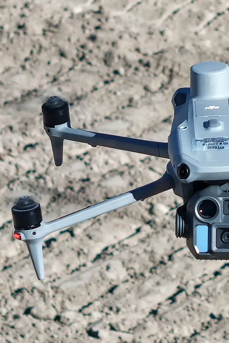
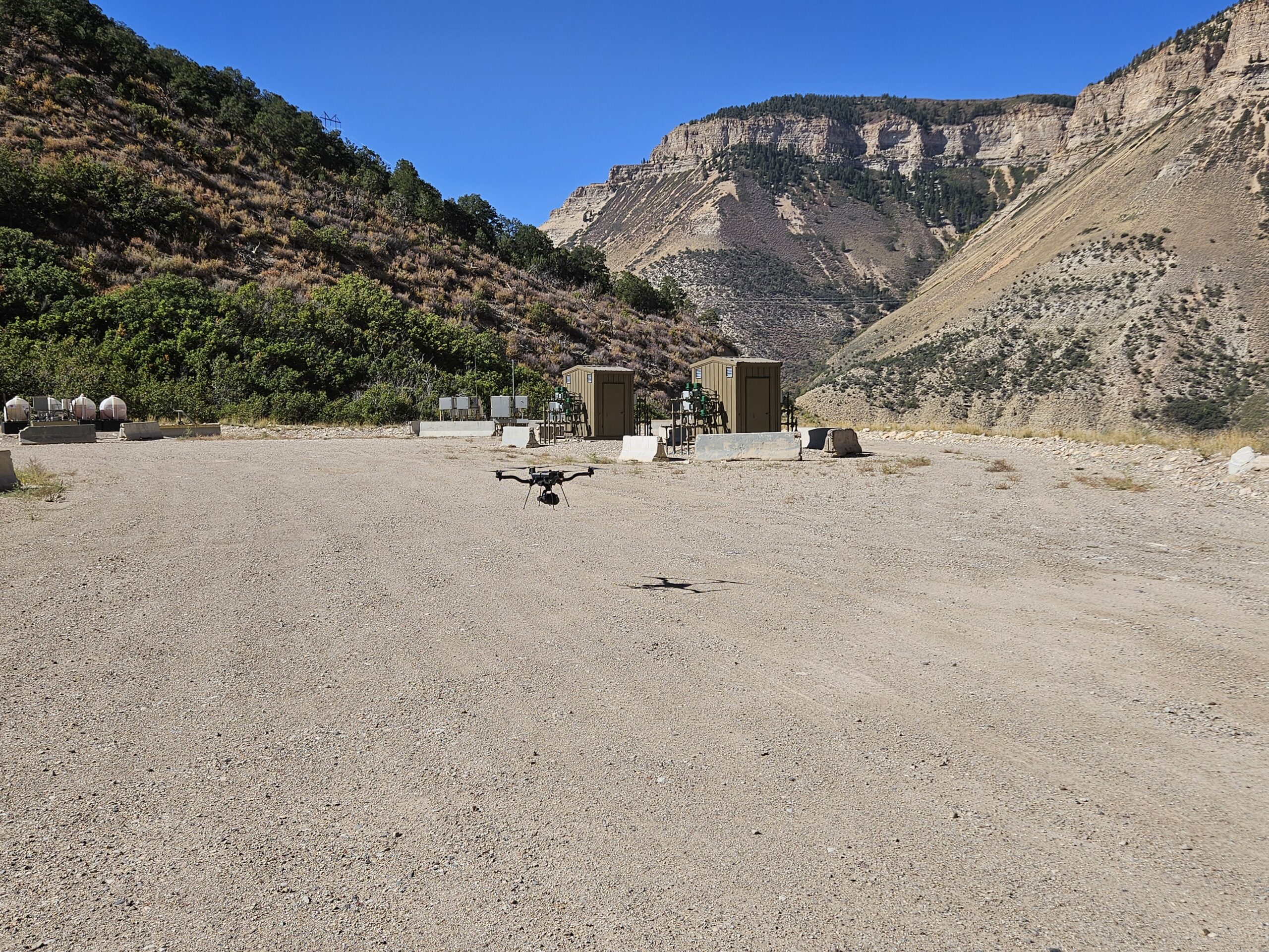
When most people think about drone mapping, they focus on the drone itself. However, some of the most important equipment never leaves the ground. To produce accurate maps, surveys, and volumetric calculations, drone data often relies on ground control points (GCPs) that help align aerial imagery with real-world coordinates.
Traditionally, establishing these control points required survey crews to spend time setting and measuring targets across a site. Today, technologies like AeroPoints by Propeller help simplify that process while maintaining the accuracy required for many mapping applications. While we briefly discussed the use of AeroPoints in our previous blog, Using Propeller Aero for Photogrammetry Services in Colorado, we will specifically address them in this blog.
What Are AeroPoints?
AeroPoints are smart ground control points used during drone mapping projects. Rather than requiring a surveyor to manually collect the position of each target, AeroPoints contain built-in GPS technology that records their location during the survey.
After the flight is completed, the recorded positions can be processed and used to accurately align drone imagery and mapping data. In simple terms, AeroPoints help connect what the drone sees in the air to real-world coordinates on the ground.
Why Ground Control Matters
No matter how advanced a drone or sensor may be, accurate positioning is critical for producing reliable mapping deliverables.
Ground control helps improve:
- Horizontal accuracy
- Vertical accuracy
- Repeatability between surveys
- Volume calculations
- Topographic mapping
- Construction progress tracking
Without adequate control, mapping results may appear visually correct but contain positional errors that affect measurements and project decisions.
Traditional Ground Control vs. AeroPoints
Traditional ground control often involves a survey crew placing targets throughout the project area and collecting coordinates using survey-grade GPS equipment. While this approach remains highly effective, it can require additional field time, particularly on larger sites.
AeroPoints streamline part of this process by allowing the targets themselves to collect positioning data. This can reduce field setup time and make it easier to establish control across large project areas.
That said, AeroPoints are not intended to replace professional surveying. Instead, they provide another tool that can help improve efficiency during drone mapping operations.
Supporting Accurate LiDAR and Photogrammetry Projects
Ground control plays an important role in both LiDAR and photogrammetry workflows.
For photogrammetry projects, control points help improve image alignment and model accuracy. For LiDAR surveys, control points and checkpoints are often used as part of the overall quality assurance process to verify results.
By providing reliable reference locations, AeroPoints can help support the accuracy of deliverables including topographic maps, surface models, and volume calculations.
Learn More About AeroPoints
While we’ve covered the basics of how AeroPoints support drone mapping accuracy, the technology includes additional features and workflows that may vary depending on the project. For a more detailed overview of the hardware, specifications, and capabilities, visit Propeller AeroPoints. To learn more about how Summit integrates this technology into our services, give us a call today!