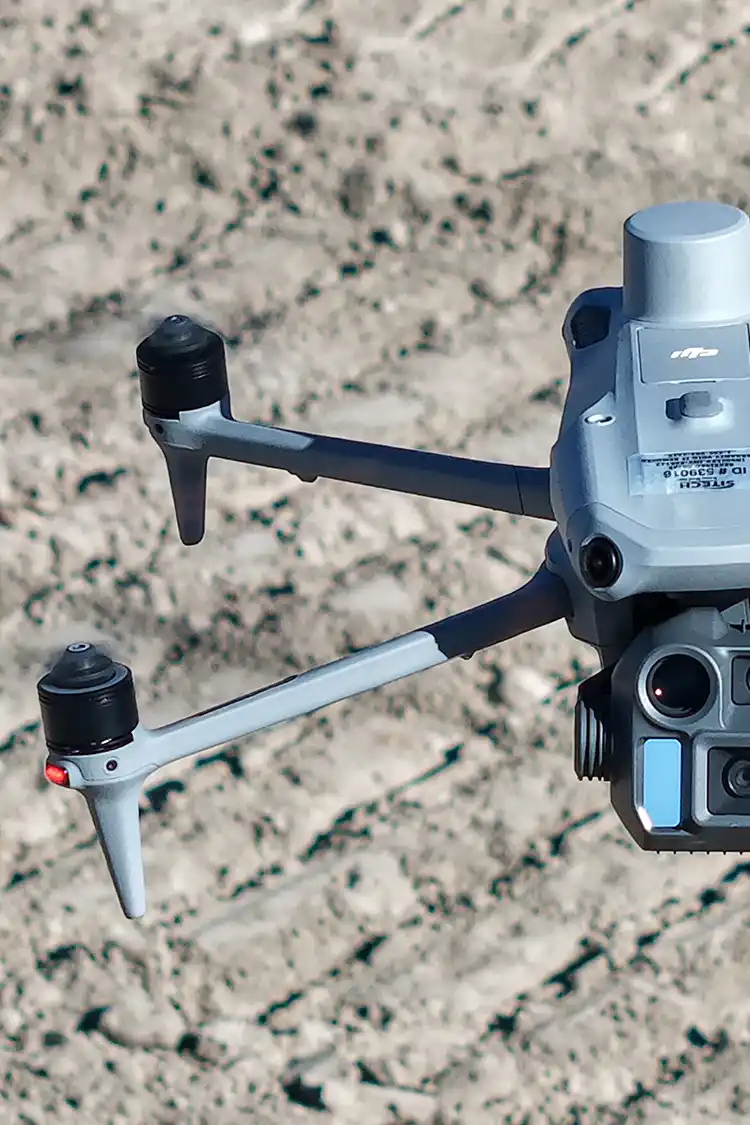
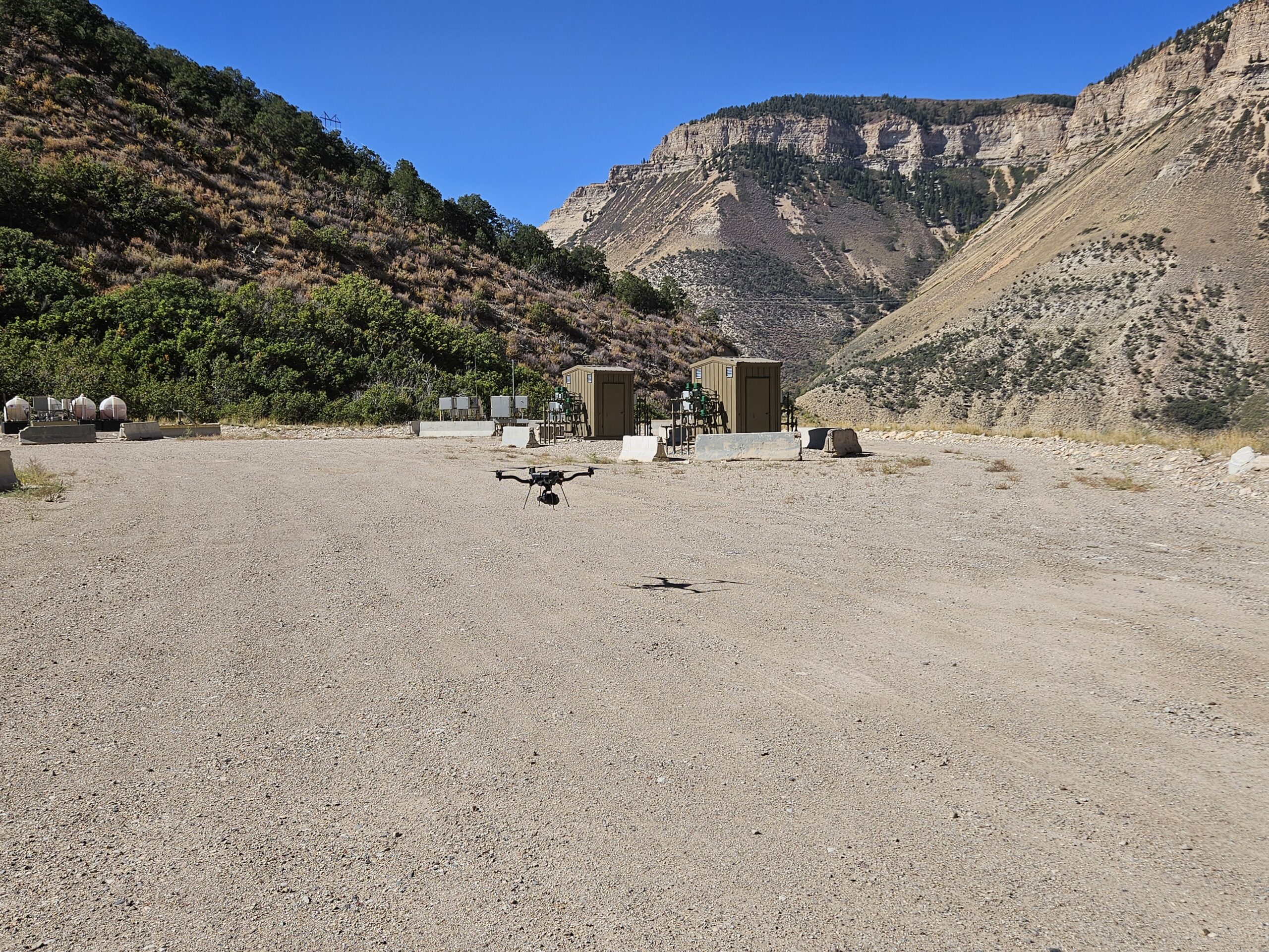
Mountainous terrain presents some of the most demanding conditions for surveying and mapping. Fortunately, advances in drone mapping and LiDAR technology have made it possible to collect accurate site data in areas that were once challenging to access.
While mountainous projects require additional planning, drone mapping offers an efficient way to capture high-quality data for construction, engineering, mining, infrastructure, and environmental projects.
Why Mountainous Terrain Is Challenging
Surveying in mountainous areas presents unique obstacles that aren’t typically encountered on flatter sites. Significant elevation changes can affect flight planning, battery consumption, and line of sight. In addition, mountain weather can change quickly. Wind, clouds, and afternoon storms often shorten available flight windows and require flexibility in scheduling. These factors make proper planning essential before any aerial mapping mission begins.
The Advantages of Drone Mapping
Despite these challenges, mountainous terrain is where drone mapping often provides some of its greatest benefits. Rather than requiring survey crews to hike across steep slopes or difficult terrain, drones can safely collect data from above while significantly reducing the amount of time spent in the field.
Drone mapping also allows large areas to be captured in a relatively short amount of time, providing clients with detailed topographic information, high-resolution orthomosaic imagery, 3D surface models, and LiDAR datasets that support planning and design.
LiDAR is particularly valuable in mountainous regions because it records highly accurate elevation data across complex terrain. Unlike traditional aerial photography, LiDAR measures the distance between the sensor and the ground using laser pulses. This allows it to capture detailed topographic information even across steep slopes where elevation changes rapidly.
LiDAR can also collect ground elevations beneath vegetation in many environments, making it especially useful for projects located in forested mountain areas where conventional photogrammetry may be limited.
Planning Is Critical
Successful mountain mapping begins long before the drone leaves the ground.
Every project requires careful evaluation of terrain, airspace, weather forecasts, launch locations, and battery requirements. Significant elevation changes often require adjustments to flight altitude and mission planning to maintain consistent data quality throughout the site.
The more preparation completed before arriving on site, the more efficiently field operations can be performed.
Remote Locations Require Additional Preparation
Many mountain projects take place far from paved roads, cellular service, or nearby facilities.
Field crews should be prepared to operate independently by carrying sufficient batteries, charging equipment, emergency supplies, and communication plans. Access to launch locations may involve hiking or traveling across rough terrain, making efficient equipment management an important part of every mission.
Proper preparation helps minimize downtime and allows projects to stay on schedule despite the logistical challenges of working in remote environments.
Experience Makes the Difference
Mountainous terrain presents challenges that require thoughtful planning, but it also highlights many of the strengths of drone mapping and LiDAR technology. By reducing the need for difficult ground access, capturing detailed topographic information, and efficiently surveying large areas, drone mapping has become an invaluable tool for projects in complex environments.
Working in mountainous terrain requires experienced pilots who understand how weather, terrain, elevation, and site conditions affect flight operations. At Summit LiDAR, we have experience completing aerial mapping projects in challenging terrain across Colorado. Whether your project involves mountain infrastructure, land development, mining, or resort improvements, our team delivers accurate, high-quality data to support informed decision-making from planning through construction.