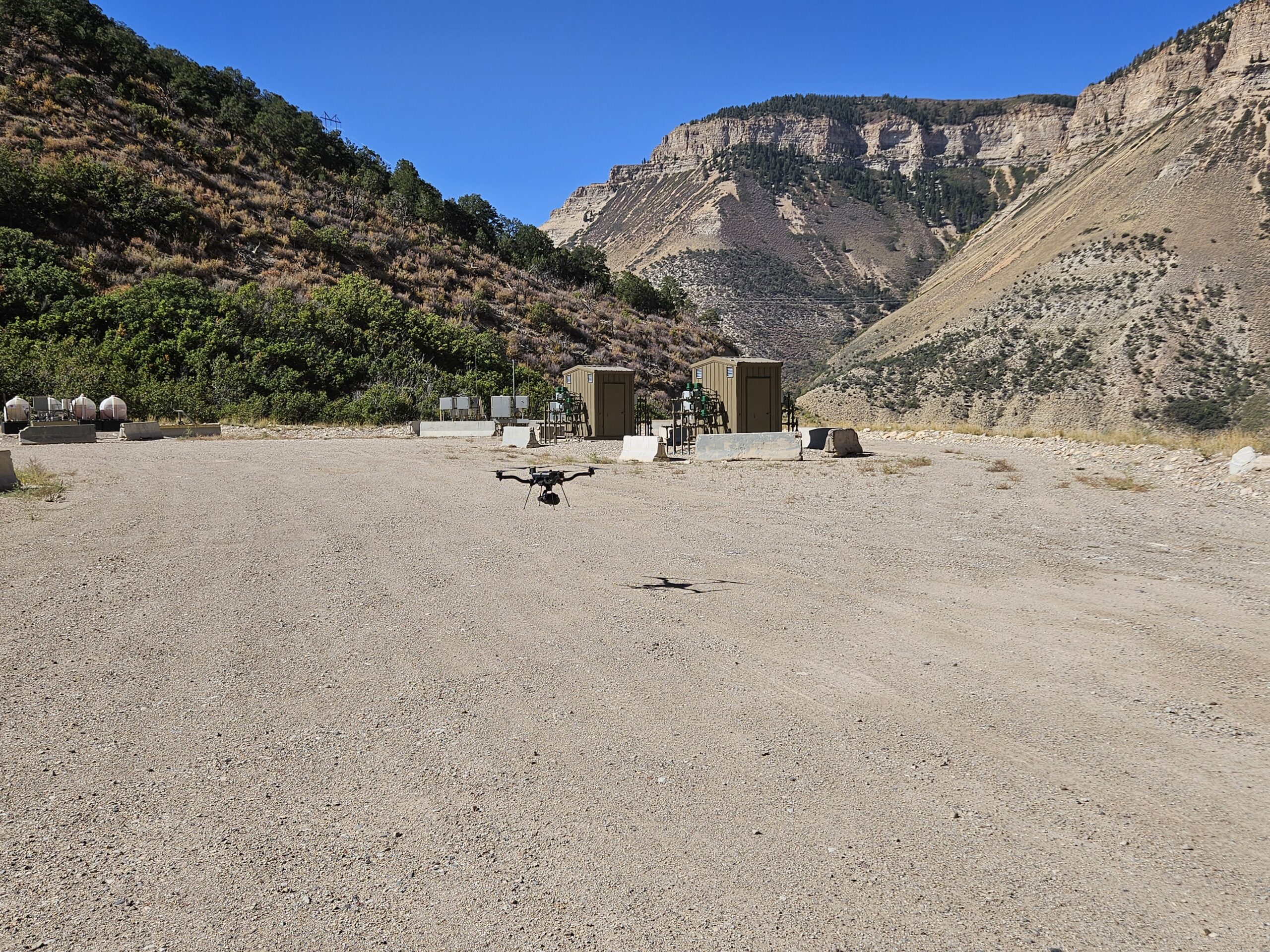
Drone mapping can quickly provide detailed aerial imagery, LiDAR data, topographic information, and 3D models for construction, land development, engineering, and other projects. But good data starts with good preparation.
Taking a few steps before a drone mapping project can help the flight run efficiently and ensure the final deliverables meet the project’s needs.
1. Clearly Define What You Need
Before the drone arrives, identify what information the project requires. Depending on the project, deliverables may include:
- High-resolution orthomosaic imagery
- LiDAR point clouds
- Topographic mapping
- Digital Terrain Models (DTMs)
- Digital Surface Models (DSMs)
- 3D models
- Elevation data
Knowing the intended use of the data helps determine the appropriate equipment, flight plan, and processing methods. If you’re unsure of what you may need, Summit LiDAR can explain what’s what and help you decide on the best deliverables.
2. Provide Existing Site Information
If available, provide existing plans, survey information, property boundaries, site plans, or other relevant project documents.
This information can help the drone mapping team understand the site and plan the flight around the project’s specific requirements.
3. Identify Access and Site Restrictions
Let the mapping team know about gates, restricted areas, active construction zones, overhead utilities, tall structures, or other potential obstacles.
Active construction sites can change quickly, so identifying these conditions ahead of time helps with both flight planning and site safety.
4. Consider Ground Conditions
Vegetation, standing water, loose materials, equipment, and other site conditions can affect the type of data that can be collected.
For example, dense vegetation may affect how well the underlying ground can be captured, while moving equipment or vehicles can affect aerial imagery.
The mapping team can determine whether additional planning, control, or a different data-collection approach is appropriate.
5. Plan Around Weather and Lighting
Weather can have a significant impact on drone mapping. High winds, precipitation, dust, and changing conditions may affect flight operations and data quality.
For photogrammetry projects, consistent lighting can also be important. Having flexibility when planning flights around suitable weather and lighting conditions can help produce more consistent imagery.
6. Coordinate With the Project Team
Make sure the people working on site know when the drone mapping will occur. Equipment may need to be moved, certain areas may need to be accessible, and site personnel may need to coordinate with the drone operator during the flight.
A little coordination ahead of time can prevent delays once the mapping crew arrives.
Preparing for a Successful Drone Mapping Project
Preparing a site doesn’t have to be complicated. The most important steps are defining the desired deliverables, communicating site conditions, providing available project information, and coordinating access and scheduling.
With proper preparation, drone LiDAR and photogrammetry can efficiently capture detailed information for construction, land development, grading, and other projects.
At Summit LiDAR, we provide drone mapping, LiDAR, orthomosaics, topographic mapping, and 3D data for projects across Colorado. We work with project teams to determine the appropriate data and plan the collection process around the site’s conditions and project goals.