In our previous blog, we discussed orthomosaics…but how do they compare to other drone deliverables?
Depending on the project, drone mapping can produce individual photos, orthomosaics, LiDAR data, or a combination of these deliverables. While they may all come from a drone, each provides different information and serves a different purpose.
Understanding the difference can help project owners, contractors, engineers, and developers determine what type of data they actually need.
Individual Drone Photos: A Visual Snapshot
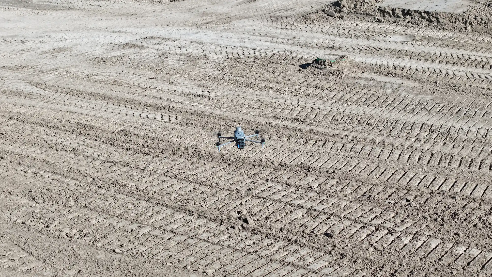
Individual drone photos are exactly what they sound like: photographs captured from the air.
They are useful for documenting specific areas of a site, monitoring construction progress, inspecting conditions, and providing visual records for project teams. They can be a quick and cost-effective way to see what’s happening on a site.
However, a single photograph is primarily a visual product. Perspective and terrain can create distortion, and the image isn’t necessarily suitable for accurate measurements or mapping.
Orthomosaics: A Mapped Aerial Image
An orthomosaic takes aerial photography a step further.
Multiple overlapping drone images are processed and stitched together into one continuous, georeferenced image. Processing corrects many of the distortions found in individual photographs, creating an aerial map that can be used to view and measure features across an entire site.
Orthomosaics are commonly used for construction documentation, land development, site planning, progress monitoring, and identifying visible site features.
In simple terms:
Individual photo = a picture of part of the site.
Orthomosaic = a mapped aerial image of the site.
LiDAR: Understanding Elevation and Terrain
LiDAR provides a different type of information altogether.
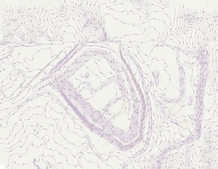
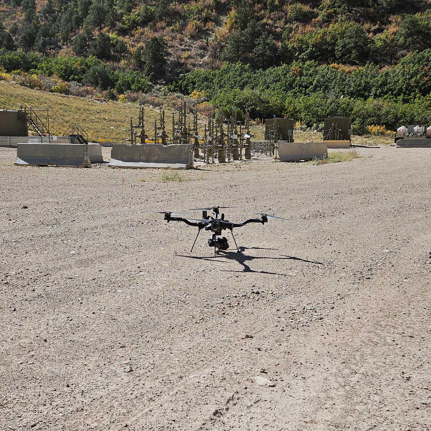
A LiDAR sensor uses laser pulses to measure distances and creates a dense three-dimensional point cloud. This data can be used to develop terrain models and understand changes in elevation across a project.
LiDAR is particularly useful for applications involving topographic mapping, grading, drainage, earthwork, and complex terrain.
Unlike an orthomosaic, which primarily shows what the site looks like, LiDAR helps show the three-dimensional characteristics of the site.
Which One Does Your Project Need?
The right deliverable depends on what you’re trying to accomplish.
|
If you need… |
Consider… |
|
Aerial photos of specific areas |
Individual drone photos |
|
A detailed aerial map of the site |
Orthomosaic |
|
Elevation and topographic information |
LiDAR |
|
Both visual and elevation data |
Orthomosaic + LiDAR |
For many construction and land development projects, combining an orthomosaic with LiDAR provides the most complete picture. The orthomosaic provides visual context, while LiDAR provides detailed elevation information.
Final Thoughts
Individual drone photos, orthomosaics, and LiDAR aren’t competing products—they’re different tools for different purposes.
Photos show you what the site looks like. Orthomosaics turn that imagery into a mapped aerial dataset. LiDAR provides detailed three-dimensional elevation information.
At Summit LiDAR, we can help determine which drone mapping deliverables make sense for your project, whether you need high-resolution imagery, topographic data, or a combination of both.