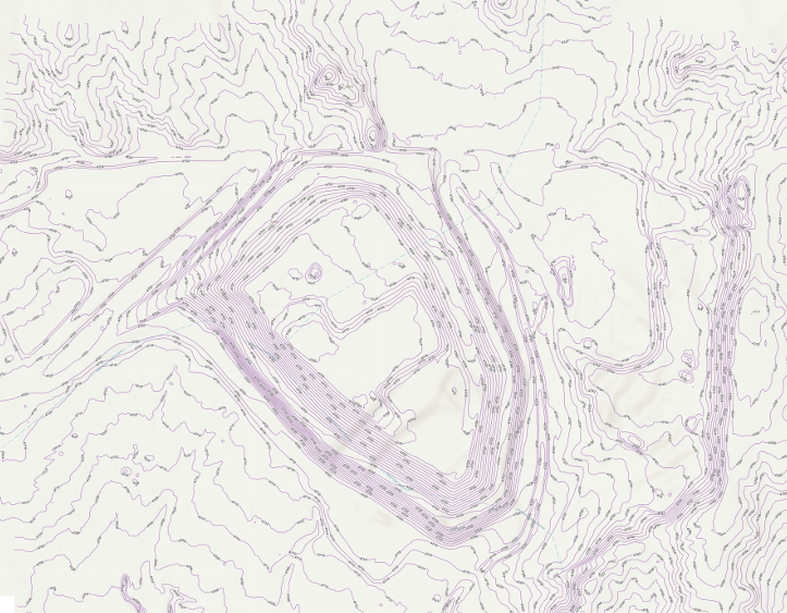
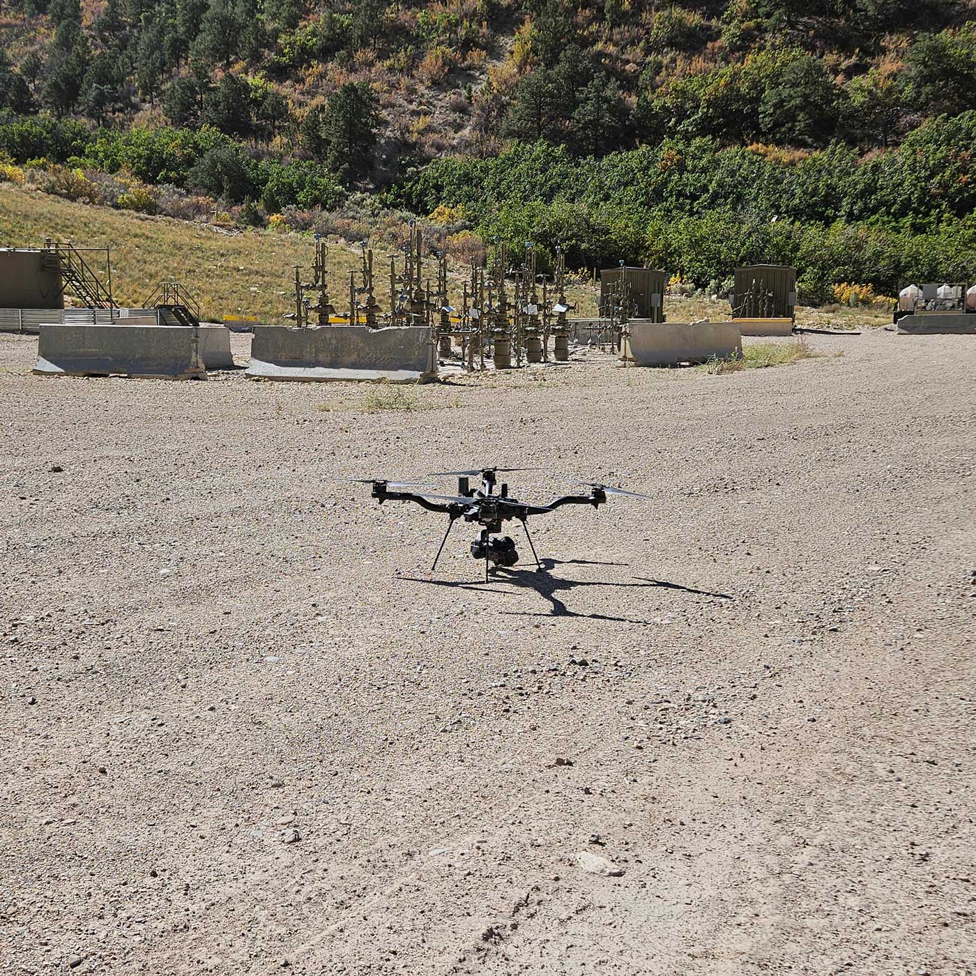
Drone mapping can produce a variety of valuable datasets, from LiDAR point clouds and 3D models to detailed topographic surfaces. One of the most common deliverables is an orthomosaic–a high-resolution aerial image that provides a detailed and measurable view of a project site.
Unlike a collection of individual drone photographs, an orthomosaic combines hundreds or even thousands of overlapping images into one continuous image. The result gives project teams a clear view of existing conditions while correcting for the distortions that naturally occur in aerial photography.
What Is an Orthomosaic?
An orthomosaic is a collection of aerial photographs that have been processed, corrected, and stitched together into a single georeferenced image.
When a drone captures an individual photograph, objects closer to the camera can appear differently than objects farther away. Terrain elevation, camera angle, and lens characteristics can all create distortion. An orthomosaic uses photogrammetric processing to correct these distortions and align the imagery to a known coordinate system.
The finished product looks similar to an aerial photograph or map, but it is more than just an image. Because it is georeferenced, an orthomosaic can be used within mapping and design software to measure distances, identify features, and compare locations across a project site.
How Is an Orthomosaic Created?
Creating an orthomosaic starts with collecting a series of overlapping aerial photographs. The drone follows a planned flight path over the project area while its camera captures images at regular intervals. Significant overlap between photographs allows processing software to identify common features across images and determine how the photographs relate to one another.
The images are then processed and aligned using photogrammetry software. The resulting dataset can be corrected and georeferenced using survey control, such as Ground Control Points (GCPs), or other positioning technologies depending on the project and required accuracy.
Why Does Georeferencing Matter?
One of the biggest advantages of an orthomosaic is that it is tied to real-world coordinates.
A standard aerial photograph provides a visual snapshot of a location, but an orthomosaic can be integrated into a geographic information system (GIS), CAD workflow, or other mapping software. This allows users to understand where features are located and make measurements using the mapped imagery.
The level of accuracy achievable depends on several factors, including the drone and camera system, flight planning, image quality, ground conditions, positioning technology, and processing methods. For projects requiring survey-grade information, the appropriate control and quality assurance procedures should be determined based on the project’s requirements.
How Are Orthomosaics Used?
Orthomosaics have applications across construction, land development, engineering, mining, agriculture, utilities, and other industries.
Construction Documentation
An orthomosaic can provide a detailed visual record of a construction site at a specific point in time. Project teams can use imagery to document existing conditions before construction, monitor progress, and create a visual record of completed work. Repeated flights can also provide a timeline showing how a site changes throughout construction.
Land Development
For land development projects, orthomosaics can help project teams understand existing site conditions. Roads, structures, vegetation, drainage features, stockpiles, and other visible site features can be identified from the imagery. When combined with topographic data, the orthomosaic provides both visual context and elevation information.
Engineering and Design
Engineers can use orthomosaics as a visual reference when evaluating existing conditions or developing designs. The imagery can help identify features that may not be obvious from individual survey points and can provide additional context alongside topographic surfaces and other geospatial datasets.
An orthomosaic does not replace an engineered design, but it can be a useful supporting dataset.
Mining and Earthwork
Orthomosaics can also be useful for documenting mining and earthwork operations. They can provide a visual record of excavation areas, haul roads, stockpiles, site infrastructure, and changing site conditions. When paired with LiDAR or photogrammetric elevation data, the imagery can help provide a more complete understanding of the site.
A Useful Tool for the Entire Project Lifecycle
One of the biggest advantages of orthomosaic imagery is its versatility.
The same type of dataset can be useful during several stages of a project—from documenting existing conditions before construction to monitoring progress and documenting the completed site. When flights are repeated over time, the imagery can become a visual record of the project’s evolution.
Combined with other drone mapping deliverables, orthomosaics give project teams a detailed perspective that would be difficult and time-consuming to capture through ground photography alone.