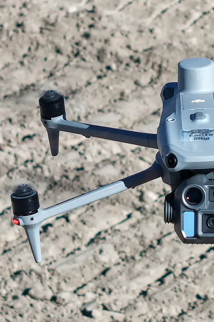
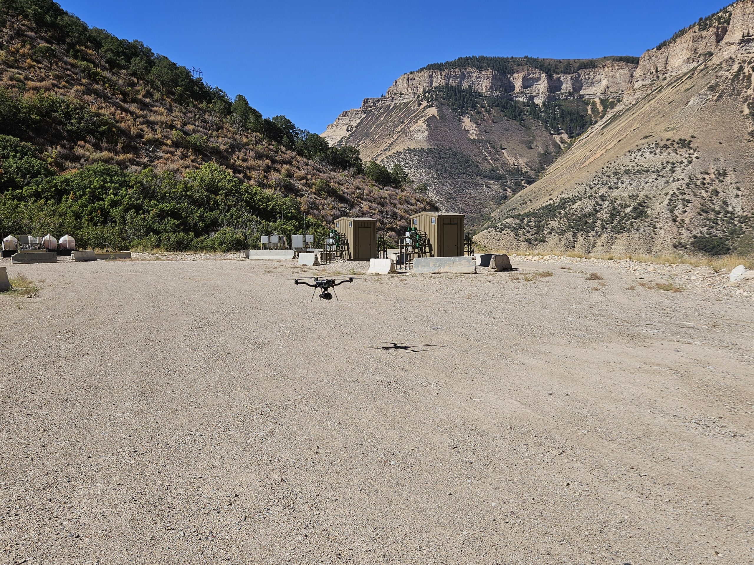
Every project we work on has a different objective behind the data. Sometimes the focus is fast, high-accuracy topographic information for design. Other times, it’s about helping clients and communities better understand how a future development will fit into its surroundings.
Here are two more recent Summit LiDAR projects that highlight how aerial mapping can be used in very different ways to support land development and planning decisions.
Project Spotlight: Supporting a New Residential Development in Fruita
Recently, Summit LiDAR completed an aerial mapping project for a proposed residential and commercial development in Fruita, Colorado.
As with many land development projects, the client needed detailed topographic information to support the early planning stages of the subdivision. The aerial survey provided accurate elevation data that could be used for grading plans, drainage reports, and overall site design.
Why Topographic Mapping Matters
Before construction begins, engineers need a clear understanding of existing site conditions. Accurate topographic information helps determine how water will move across the property, how the site should be graded, and how future infrastructure can be designed efficiently.
Collecting this information early in the planning process helps reduce uncertainty and provides engineers with reliable data for design.
A Faster Way to Collect Data
Traditionally, collecting topographic information across a property of this size could require several days of field work.
Using drone LiDAR, Summit LiDAR was able to collect the necessary site data in just a few hours, significantly reducing field time while providing a highly detailed surface model for the design team.
While engineering analysis and final design remain the responsibility of licensed professionals, drone mapping provides an efficient way to gather the accurate data those teams rely on.
Project Spotlight: Helping Visualize Future Development in Dillon
Another recent project brought our team to Dillon, Colorado, where a former movie theater site is planned for redevelopment into future multifamily condominiums.
Like many mountain communities, the project is located on a sloped site surrounded by existing homes. Because of the elevation changes, nearby residents had understandable questions about how the new development might affect their views once construction is complete.
Creating a Better Visualization
To help the client communicate with neighboring property owners, Summit LiDAR collected panoramic imagery from the locations of nearby homes that could potentially be impacted by the future development.
Rather than relying solely on drawings or renderings, these panoramic images provide a realistic visual reference that can be used alongside design plans to better illustrate how the skyline and surrounding views may change after construction.
This type of visualization helps project teams communicate proposed developments more effectively and provides stakeholders with a clearer understanding of what to expect.
Beyond Traditional Mapping
Drone technology isn’t limited to collecting topographic data. High-resolution imagery can also support planning, public outreach, and project visualization.
By capturing existing site conditions from multiple perspectives, drone mapping becomes a valuable communication tool throughout the development process.
Every Project Has Different Goals
Every project presents a new opportunity to solve unique challenges. At Summit LiDAR, we’re proud to support developers, engineers, contractors, and landowners with accurate aerial mapping solutions that help move projects forward.
As we continue working on projects across Colorado and beyond, we look forward to sharing more examples of how drone mapping and LiDAR are making a difference throughout the planning, design, and construction process.