by josh | Dec 9, 2025 | Education
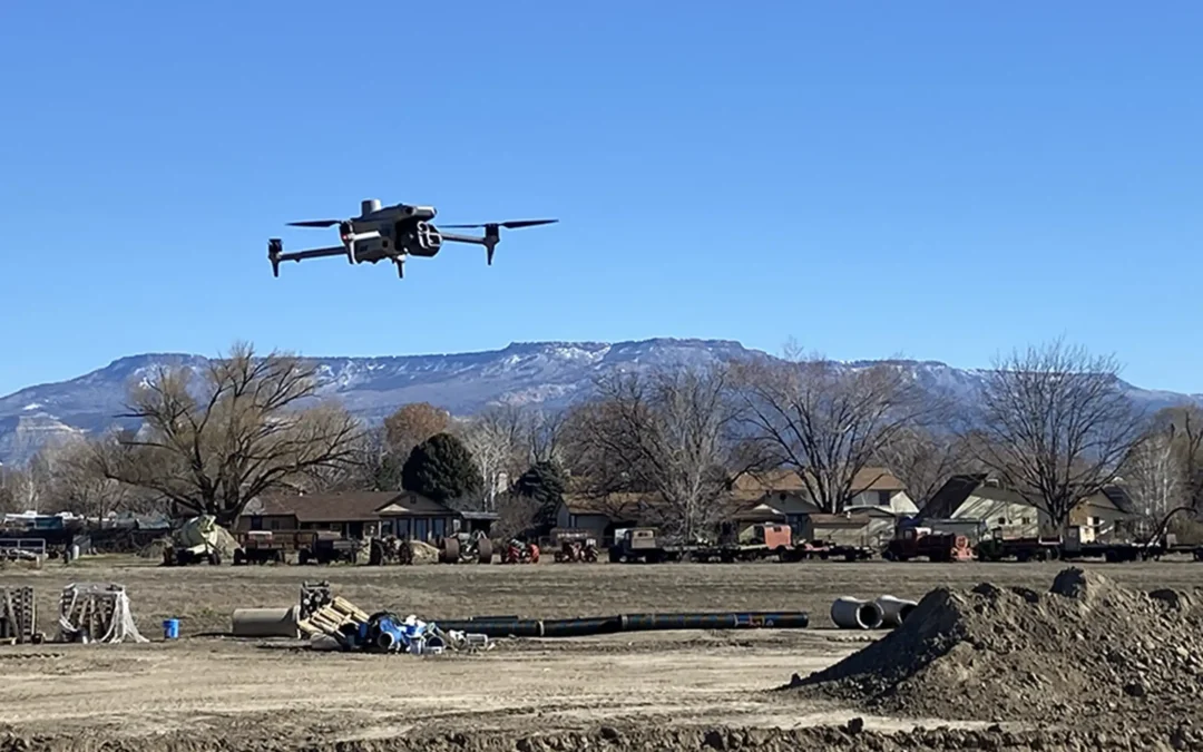
As drone technology becomes more commonplace across a diversity of fields, two data-collection methods are often compared: LiDAR and Photogrammetry. Both can be used with a drone to create maps, models, and measurements from the air. However, they work very...
by josh | Nov 8, 2025 | Education, Featured
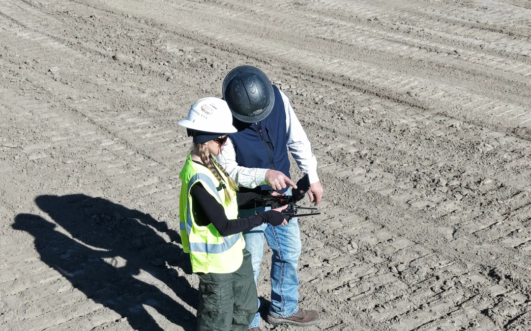
LiDAR has been a powerful mapping tool for decades, but it was primarily used on fixed wing aircraft or helicopters, so the cost of a flight made LiDAR a niche tool for big budget projects. With the advancements in drone payload capacity and availability, drones have...