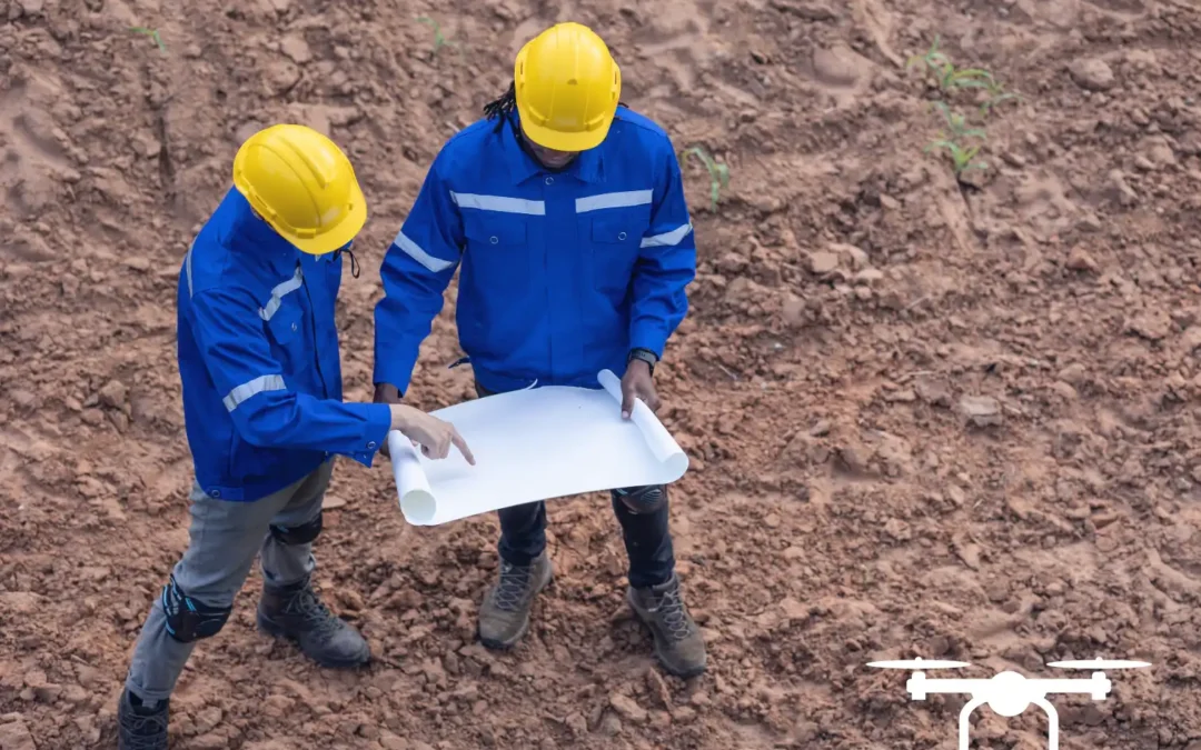
Summit Services Group is honored to be featured in a recent newspaper article highlighting a new residential development in Grand Junction alongside our valued clients, Cross Orchard Development and Belle Rose Builders. On January 27, 2026 The Business Times Newspaper...
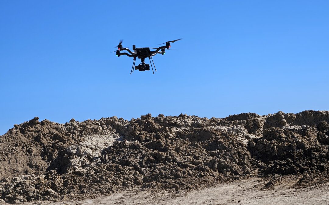
Environmental risk management is a critical component in construction, mining, forestry, and land development projects. Accurate, timely data is essential. This helps to identify potential hazards, prevent damage, and maintain regulatory compliance. LiDAR (Light...
If you’re considering a LiDAR drone mapping service for your project, one of the first questions you’re likely to ask is, “How long will this actually take?” Whether you’re working against a construction deadline, preparing regulatory documentation, or planning a...
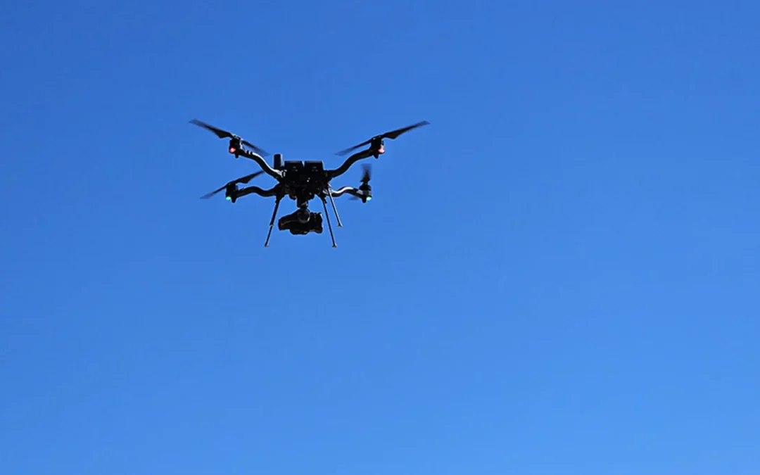
Drone LiDAR is one of the most powerful tools in construction, engineering, and environmental compliance. LiDAR delivers highly accurate 3D data that teams can rely on for planning, design, verification, and regulatory documentation. Whether you’re moving dirt,...
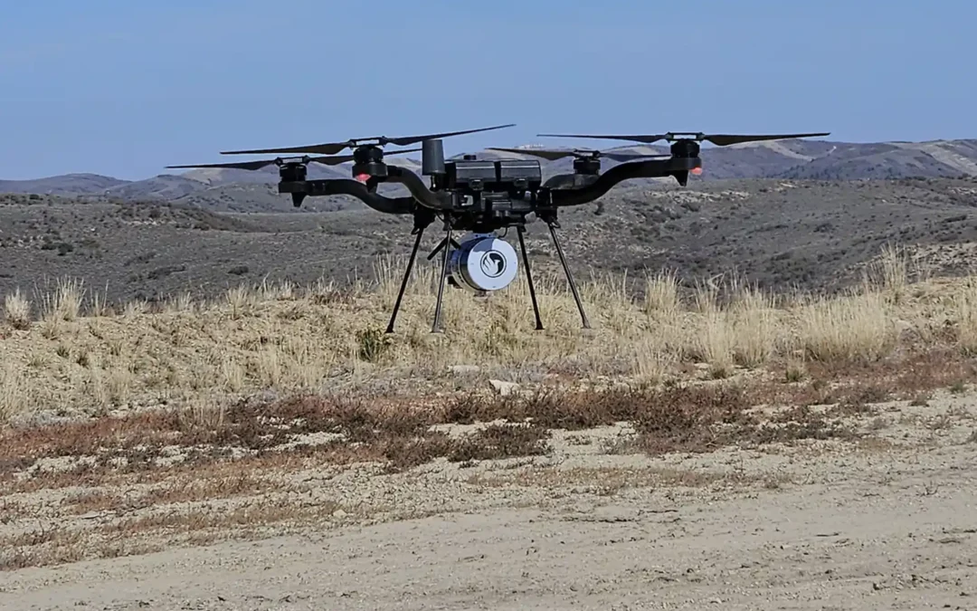
There has been rapid growth and use of LiDAR (Light imaging Detection And Ranging) technology across various fields, and its technology provides numerous advantages. However, like anything, it’s still important to be aware of and understand its limitations. In this...