LiDAR is a quickly evolving technology that continues to be in the news. Our goal in sharing industry updates is to identify LiDAR topics that may be valuable to our community. We apologize in advance if this is not comprehensive or up-to-the-minute news. However, we do hope that as a curated source, we may help cut through the noise and bring you relevant topics worth reading.
Federal government bans on the sale of Chinese made drones, maybe?
This story may not be finalized for a long time. It seems the debate rages on about whether drones made in China pose a security risk in the US. This Reuters article is a great overview of the back and forth history on the topic. The article was published in January 2026, but it is still relevant. Keep in mind that some games of political football go into overtime, so this could change again.
The Reuters article names the US Commerce Department position, which is on hold, but also states the FCC does have a ban in place. What? How?
Check out this comprehensive history and breakdown by The Drone Girl. (I respect how comprehensive this summary is, and in common sense language. Kudos, Drone Girl!) In short, she highlights that the Commerce department action is paused (at the time of writing), but the FCC has a ban in place. One important distinction is that the withdrawn Commerce Department ban would have grounded existing Chinese made aircraft. The FCC ruling, on the other hand, does NOT currently impact existing drones, but prohibits the FCC from future approvals on Chinese made drones.
Summit’s take:
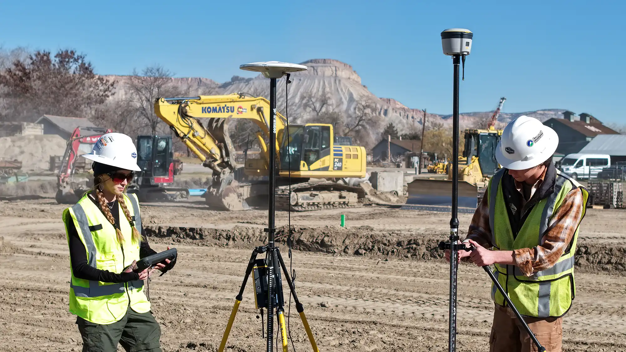
We care about what our clients care about. If you have high value, sensitive properties, or assets to map (think Oil, Gas, Solar, energy infrastructure) and you want a US made drone with LiDAR and processing solution, then our Phoenix drone package may be a good fit for your project. This rig is UAS Blue listed and qualifies to fly federal projects.
On the other hand, we still own and operate a DJI (Chinese made) drone for photogrammetry. It has unique properties that may make it suitable for your project application. Specifically, the battery life, flight speed, and Propeller Aero software may be a fit for larger construction projects (due to the speed) or recurring projects (because Propeller Aero software is fantastic at this type of work).
Are we wish-washy on the topic? We don’t think so. The possible restrictions are still evolving, the question of security is subjective, and ultimately we want to give you options.
Evolving LiDAR technology: Sensing color
The SummitLiDAR team attended the GeoWeek conference in Denver in February of 2026. It was a cornucopia of options – or perhaps a kaleidoscope? Honestly, there was so much tech, and so many niches in the geospatial industry that we were overwhelmed. We will be following up on some of the more tempting opportunities, especially the handheld scanner options and the many, many software options for rendering and mapping data.
For now, we want to highlight this intriguing article from TechRadar. The gist is that a LiDAR manufacturer has developed LiDAR that senses color.
Keep in mind that this manufacturer is focused on the automotive market, with LiDAR used as sensors and inputs for autonomous or driver assisting technologies. The claim is that reading the color of lane markings, traffic lights, and the many objects they are sensing will remove some of the guesswork that these systems are currently built around.
How does this apply for our construction, engineering, and infrastructure clients?
Let’s focus in on this particular description found in the article:
“Hesai Group’s ability to detect color, as well as any reflectivity and velocity, is expected to vastly improve the speed at which autonomous driving systems can determine and categorize objects, such as road signs, traffic lights and emergency service vehicles.”
What stands out is that the tech upgrade is not only detecting color, but also reflectivity and velocity. Imagine the degree of computing that is going in an autonomous driving scenario and the need for near instantaneous processing. Clearly this matters in a driving scenario. Does it matter in land development and construction? Maybe not at this moment. By comparison, the rate of change on a construction site is practically glacial.
But imagine the potential to use color on the ground to signal to the LiDAR in the sky. What about a system to use various colors to identify buried utilities…and have that captured in a mapping flight? Or possibly using color to denote which parts of a foundation are complete. Or which sections of an as-built documenting flight are confirmed complete by the installers. As humans we instinctively know how color is used in nature and in the human built environment and what is conveyed to the viewer. It seems logical to find applications that help us identify and understand the real world conditions for which we are building digital twins.
This tech is probably going to first be refined in the automotive markets, but is definitely worth watching in our aerial mapping space. Stay tuned!