At Summit, we focus on making drone mapping and surveying easy to understand for our clients across Colorado. We value clear communication—both in the services we provide and the results you receive. The drone imaging industry often uses technical terms like “orthomosaic” and “aerial triangulation.” While these terms are important, we prioritize outcomes first.
What outcome would you like to receive at the end of our flight? What file types will be useful to your team? By starting with these questions, we help Colorado construction teams choose the right drone mapping or aerial survey solution and ensure they receive accurate, actionable data.
To help with having all parties using a common language,let’s use this post to explore some of the terminology, hopefully giving you some clarity and creating the groundwork for future conversations.
Aerial Mapping
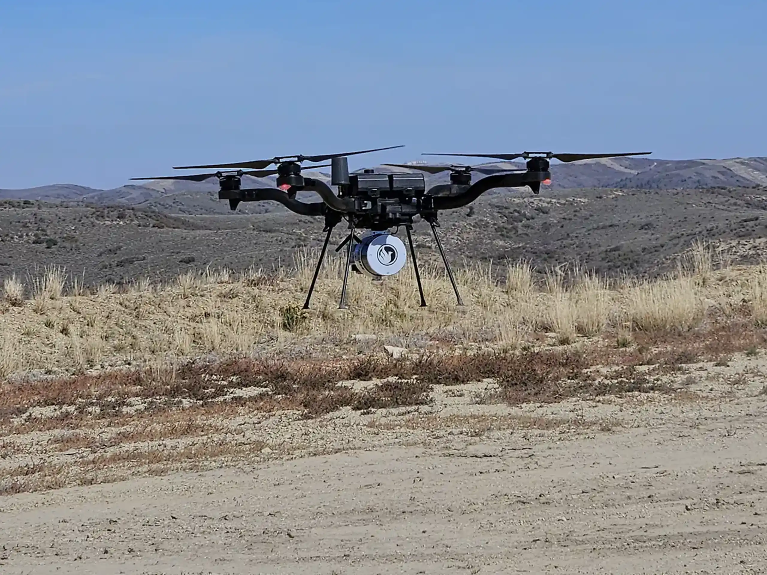
Aerial mapping is a broad, easy-to-understand term—and it fits our plain language approach. In the drone mapping industry, it refers to collecting site data from above to support construction, land development, and environmental projects. However, it covers a wide range of services. “Aerial” can include data collected from fixed-wing aircraft, helicopters, different types of drones, and in some cases, even satellite imagery.
3D Mapping
3D mapping refers to the creation of digital models that represent real-world site conditions. In drone surveying, this often includes LiDAR point clouds or photogrammetry-based models generated from aerial imagery. These datasets allow teams to visualize terrain, structures, and grading in three dimensions.
3D mapping data can be imported into CAD, Civil 3D, or GIS platforms like ArcGIS, where engineers and project managers can measure elevations, calculate volumes, and track site changes over time. While “3D mapping” is a useful term, it is still broad. Different technologies produce different results, so we work with clients to determine whether LiDAR, photogrammetry, or another approach best fits their project goals.
Mapping
“Mapping” is one of the most general terms used in drone services and geospatial data collection. It can refer to boundary mapping, topographic mapping, or capturing existing site conditions. Mapping outputs may be delivered in 2D or 3D formats and could be accomplished in a variety of possible file types.
While the term accurately describes what we do, it is not specific enough to define a drone mission. For example, a construction team may need topographic data for grading, while a developer may need site imagery for planning and documentation. By clarifying how the data will be used, we ensure the mapping deliverables align with your project needs.
Survey
In this context, “survey” refers to a land survey. Land surveying involves collecting precise measurements to define boundaries, elevations, and site conditions. These measurements support engineering design, construction layout, and regulatory compliance.
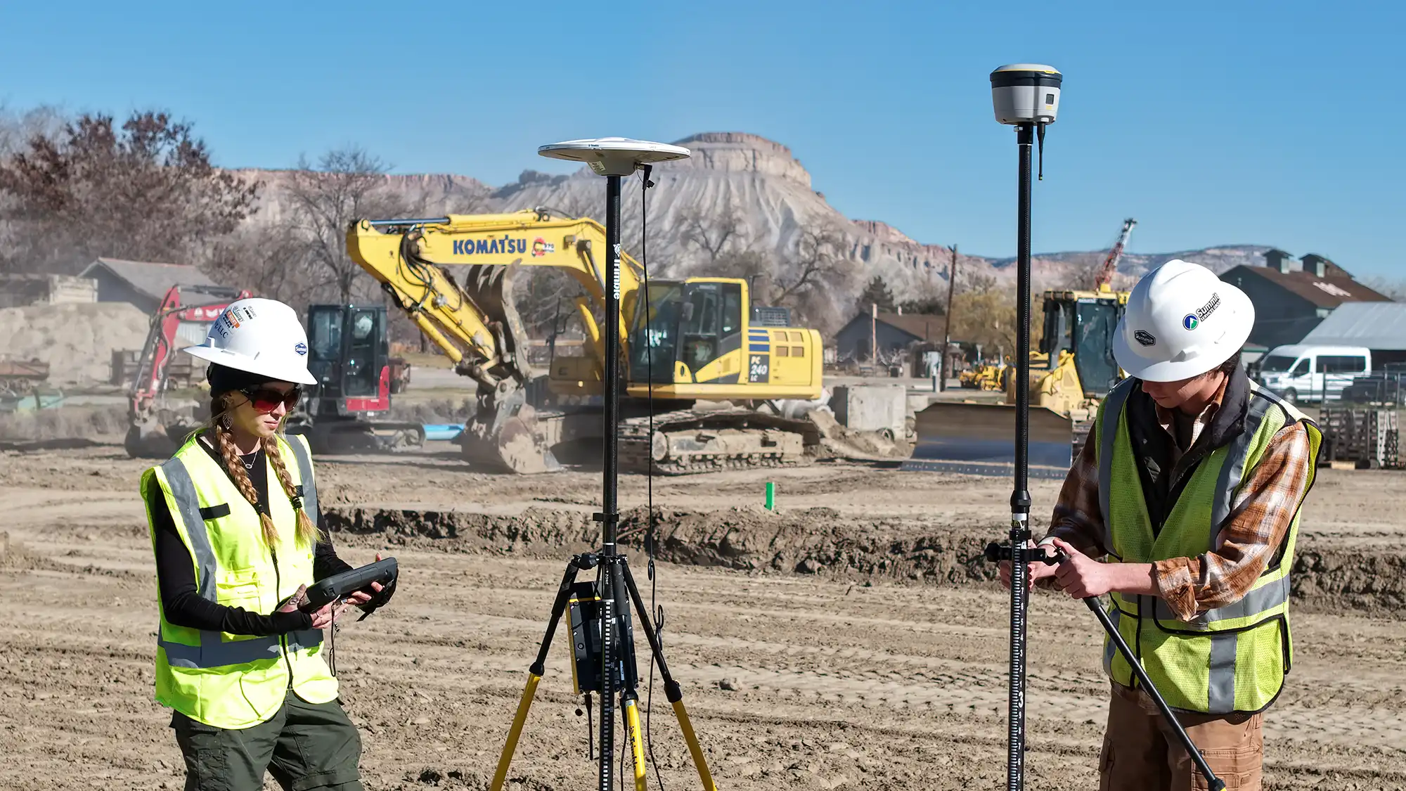
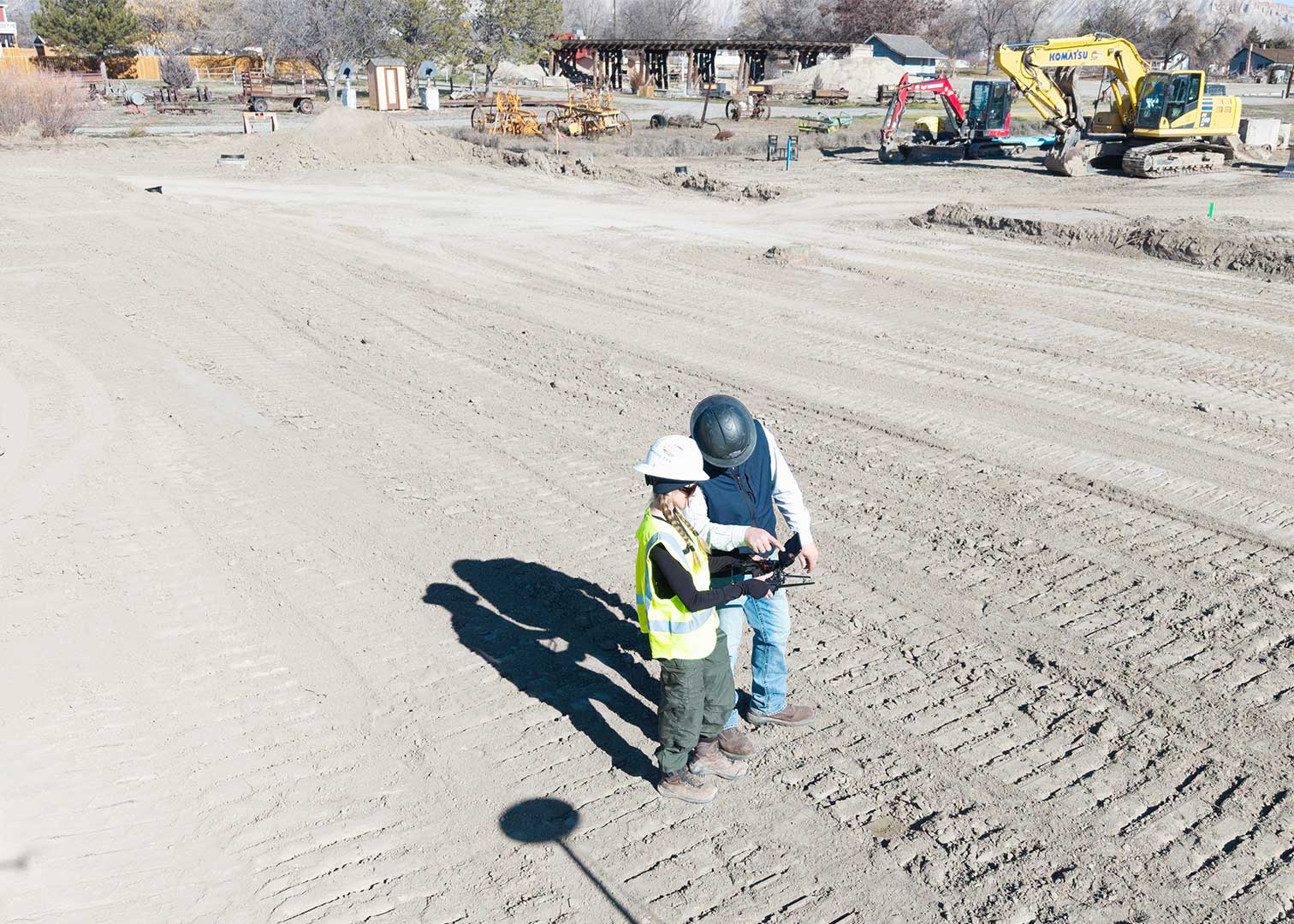
According to the Professional Land Surveyors of Colorado, surveying provides the foundation for accurate and reliable project data. Drone surveys can support traditional land surveying by capturing large areas quickly and efficiently. However, certain projects may require a licensed professional land surveyor depending on accuracy requirements and local regulations.
Choosing the Right Drone Mapping Service
With so many overlapping terms—like aerial mapping, 3D mapping, and drone surveying—it’s easy to see how confusion happens. Each term describes part of the process, but none fully define the outcome on their own.
At Summit, we focus on what matters most: the results you need. Whether your project requires topographic mapping, volume calculations, LiDAR data, or high-resolution aerial imagery, we start by understanding how you plan to use the data. From there, we recommend the right mapping solution to match your goals.
Summit specifically uses drones, and occasionally helicopters, to capture either LiDAR or photo imagery, with 3D maps as one of the possible outputs. While what we do is considered survey work, we are not licensed surveyors. This is a collaborative area where we are happy to hire surveyors or work for them depending on the project goals.
If you’re planning a construction, land development, or environmental project in Colorado, our team can help you turn complex drone data into clear, actionable insights.