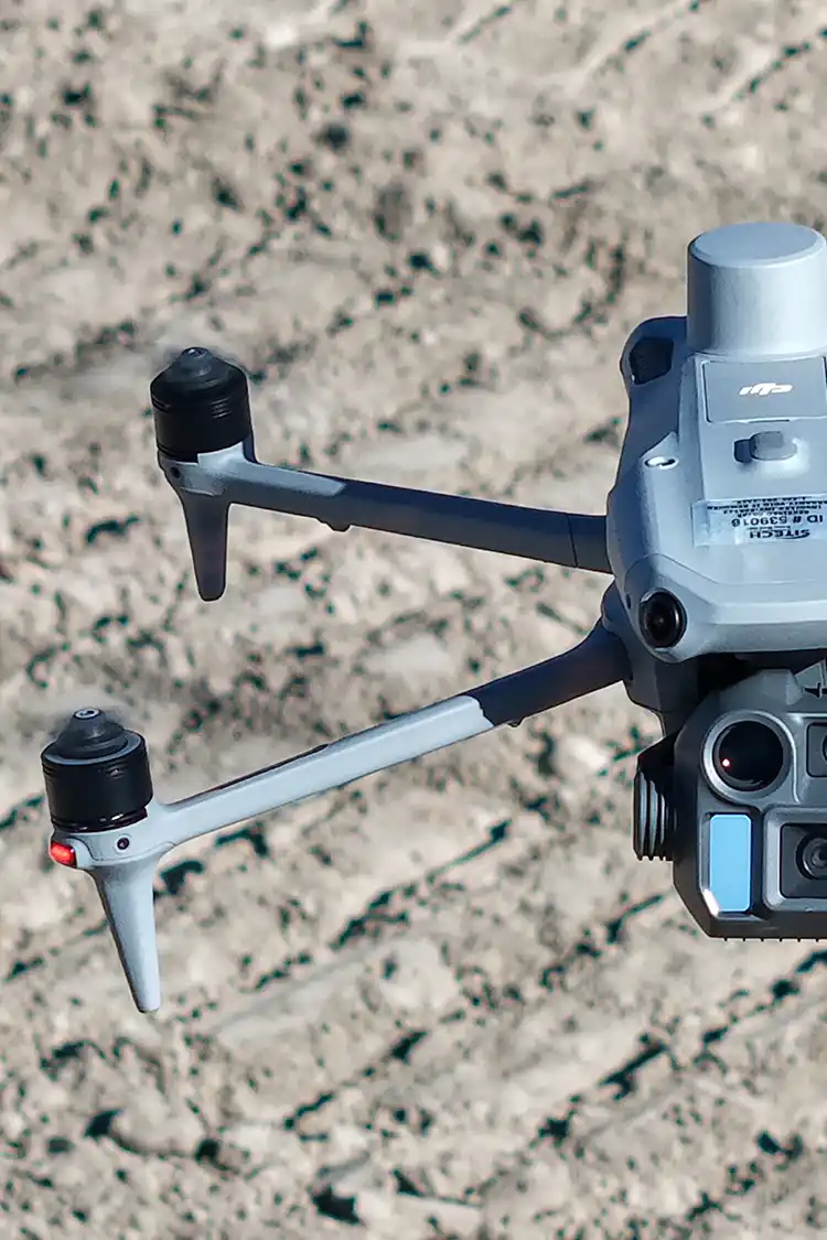
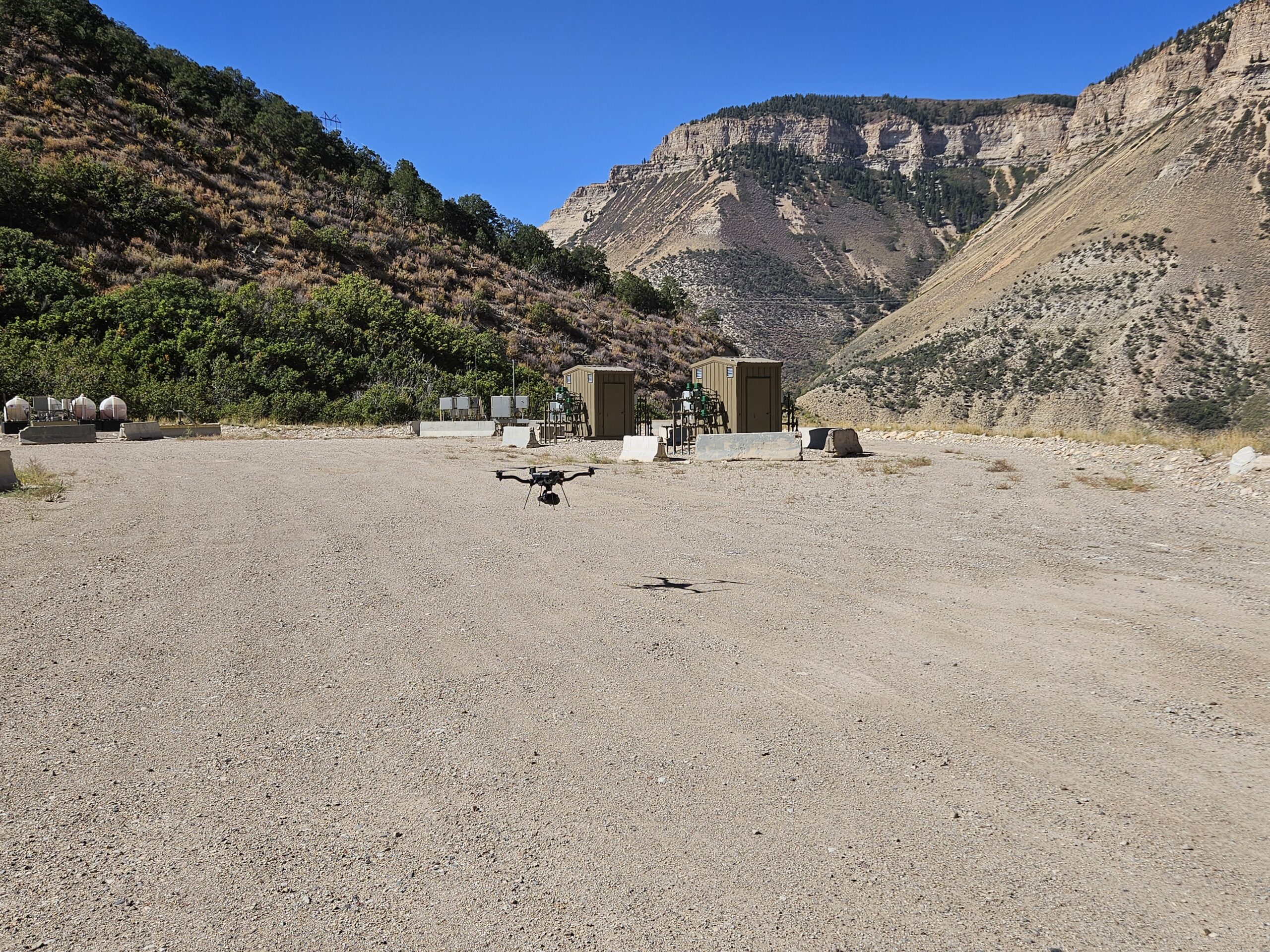
Drone LiDAR has become a valuable tool throughout the construction industry, providing accurate, high-resolution data at every stage of a project. While many people associate LiDAR with topographic surveys before construction begins, its applications extend far beyond the planning phase.
From initial site selection to final project documentation, LiDAR helps project teams collect the information they need to make informed decisions, improve efficiency, and monitor progress. Here’s a look at how LiDAR can support projects throughout the construction lifecycle.
Pre-Construction Planning
Before breaking ground, understanding existing site conditions is essential. Accurate topographic information provides engineers, surveyors, and designers with the foundation they need to develop grading plans, drainage designs, and construction layouts.
LiDAR surveys can quickly capture existing terrain across large areas, producing detailed elevation models and topographic data that support planning and design. Depending on the project, aerial mapping may also include orthomosaic imagery and 3D surface models, giving teams a comprehensive view of the site before construction begins.
Design and Engineering
As project designs are developed, LiDAR data provides engineers with reliable existing conditions that can be incorporated into design software and modeling workflows.
Accurate terrain models help support grading plans, drainage analyses, utility planning, roadway design, and other engineering activities. By starting with high-quality site data, design teams can better understand existing conditions and make more informed decisions throughout the planning process.
Active Construction
Once construction begins, site conditions can change rapidly. Regular drone surveys allow project teams to monitor progress without relying solely on ground observations.
Periodic LiDAR flights can document earthwork progress, compare existing conditions to previous surveys, and provide updated terrain models as grading advances. These datasets help project managers monitor site development, communicate progress with stakeholders, and identify potential issues before they become costly delays.
Earthwork and Grading
Earthmoving activities often represent one of the largest components of a construction project.
LiDAR provides highly detailed elevation data that allows project teams to monitor grading progress and evaluate how the site is evolving over time. Comparing multiple surveys can help verify that grading activities are progressing according to plan while providing updated information for ongoing project coordination.
Stormwater Management
Construction sites are constantly changing, and those changes can influence how stormwater moves across the property.
LiDAR can support stormwater planning by providing updated topographic information that helps engineers evaluate drainage patterns and identify areas where erosion or ponding may occur. Repeat aerial surveys can also assist project teams in monitoring changes throughout construction and evaluating whether erosion control measures continue to align with evolving site conditions.
Project Communication
One of the greatest advantages of drone mapping is its ability to improve communication. High-resolution imagery, 3D models, and terrain visualizations provide project owners, contractors, engineers, and stakeholders with a clear understanding of current site conditions. Rather than relying solely on written updates or field visits, teams can reference accurate aerial datasets to discuss project progress and coordinate future work.
Project Closeout
As construction nears completion, LiDAR continues to provide value. Final aerial surveys can document completed site conditions, capture finished grading, and create a permanent record of the project. These datasets may support project documentation, future planning efforts, or ongoing facility management depending on the client’s needs.
A Tool That Supports the Entire Project
While LiDAR is an incredibly powerful technology, it works best as part of a broader project team. Engineers, surveyors, contractors, and project managers all play important roles in planning and executing successful construction projects. Drone mapping complements their expertise by providing accurate, efficient data that supports informed decision-making throughout every stage of construction.
At Summit LiDAR, we provide high-quality aerial mapping and LiDAR services that support construction projects from the earliest planning stages through project completion, helping clients collect the accurate data they need every step of the way.