Drone surveys can efficiently collect detailed aerial imagery, LiDAR, and topographic data, but every site presents different challenges. Existing site conditions can affect how a drone flight is planned, what data can be collected, and which mapping technology is most appropriate.
Understanding the site before a drone survey begins helps ensure the project is planned around real-world conditions rather than assumptions.
Terrain and Elevation Changes
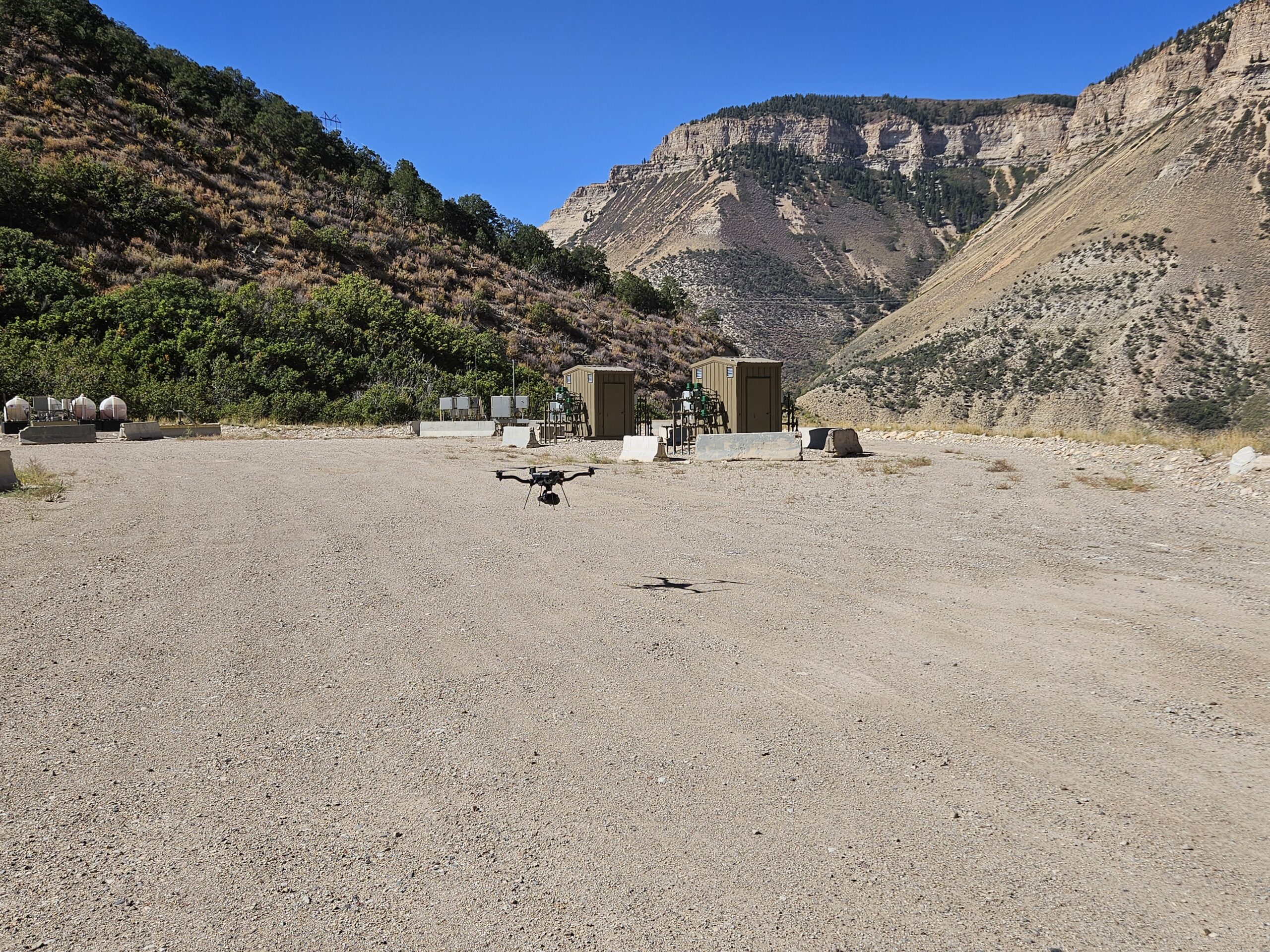
Significant changes in elevation can affect flight planning. Mountainous terrain, steep slopes, valleys, and uneven ground may require adjustments to flight paths and altitude.
For larger elevation changes, the flight plan may need to account for the terrain to maintain appropriate data coverage and quality across the entire site.
Vegetation and Ground Cover
Trees, brush, and dense vegetation can affect both photogrammetry and LiDAR data.
Photogrammetry relies on visible surfaces, so dense vegetation can make it difficult to accurately capture the ground. LiDAR can provide advantages in some vegetated environments because laser returns can reach the ground through gaps in vegetation, depending on the density and type of vegetation.
Understanding the site’s vegetation before the flight helps determine the appropriate collection method and expected results.
Buildings, Utilities, and Other Obstacles
Existing structures, power lines, towers, equipment, and other obstacles need to be considered when planning a drone survey.
These features can affect flight paths, takeoff and landing locations, and the safe operating area. Active construction sites may require additional coordination because equipment and site conditions can change throughout the day.
Active Construction
Construction sites are constantly changing. Grading, excavation, stockpiles, equipment, vehicles, and temporary structures can all affect the conditions present when the drone arrives.
For this reason, the mapping team needs to understand what areas are active and what conditions may be different from the original plans or previous site visits.
Weather and Lighting
Weather is another important site condition.
Wind can affect flight operations, while rain and other precipitation can interfere with data collection. For photogrammetry, lighting conditions can also affect image quality and consistency.
Scheduling flights during appropriate weather and lighting conditions can help produce better results.
Why Site Conditions Matter
Existing site conditions help determine how a drone survey should be performed, not just when it should be performed.
Before collecting data, the mapping team can evaluate the terrain, vegetation, structures, access, construction activity, and other site characteristics to develop an appropriate flight plan and determine which technology and deliverables best fit the project.
For complex sites, this planning can make the difference between a straightforward data collection effort and a project requiring additional flights or field work.
Final Thoughts
Every site is different. Terrain, vegetation, structures, construction activity, and weather can all influence drone survey planning and data quality.
By evaluating existing conditions before the drone takes flight, project teams can better anticipate challenges, select the appropriate mapping method, and collect data that meets the needs of the project.
At Summit LiDAR, we evaluate site conditions as part of the planning process for drone LiDAR, photogrammetry, topographic mapping, and other aerial mapping projects across Colorado.