There has been rapid growth and use of LiDAR (Light imaging Detection And Ranging) technology across various fields, and its technology provides numerous advantages. However, like anything, it’s still important to be aware of and understand its limitations. In this blog post, we will break down the different strengths and weaknesses of using LiDAR, specifically in conjunction with drones.
STRENGTHS:
Accuracy and Consistency – LiDAR sensors use laser pulses to capture extremely detailed elevation data, allowing them to identify subtle surface features and create precise 3D models. This level of detail makes it possible to clearly distinguish between ground, vegetation, structures, and other objects across a site.
Exceptionally Fast – Because the sensor emits and receives thousands of laser pulses per second, large areas can be scanned in a short amount of time without sacrificing data quality. This speed allows project teams to collect dense datasets quickly, keeping projects moving and reducing time spent in the field.
Access to Difficult or Unsafe Areas – Steep terrain, dense vegetation, heavy traffic, remote sites, and areas that may be unsafe for ground crews can all be mapped efficiently from the air. This improves safety while still delivering reliable results.
Automated Data Collection and Processing – LiDAR systems improve efficiency compared to traditional surveying methods. While skilled operators and data processing are still essential, drone LiDAR reduces the need for extensive on-the-ground measurements and manual data collection, saving both time and labor.
Repeatable Datasets – Makes LiDAR ideal for progress tracking, change detection, and long-term monitoring. This makes it a powerful tool not only for design and planning, but also for construction verification, compliance documentation, and asset management over time.
Cost-Effective – When you factor in its speed, accuracy, and ability to cover large areas in a single flight, LiDAR is often more cost-effective than traditional surveying methods, especially for large or complex sites. It provides a practical way to generate detailed topographic data without extended field crews or repeated site visits.
WEAKNESSES:
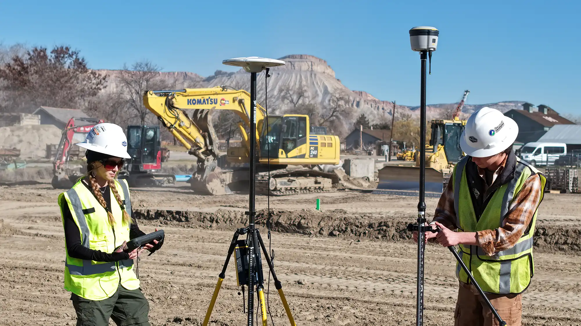
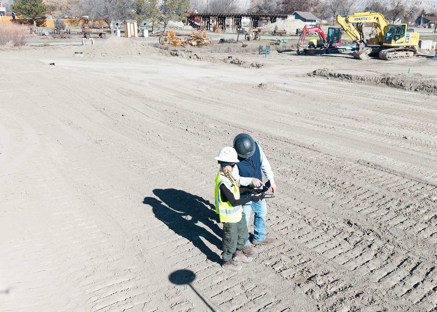
Requires Specialized Expertise – LiDAR systems are complex and require experienced professionals to operate correctly. Accurate results depend on proper flight planning, use of ground control points or base stations, sensor calibration, and post-processing knowledge. Without this expertise, data quality can suffer.
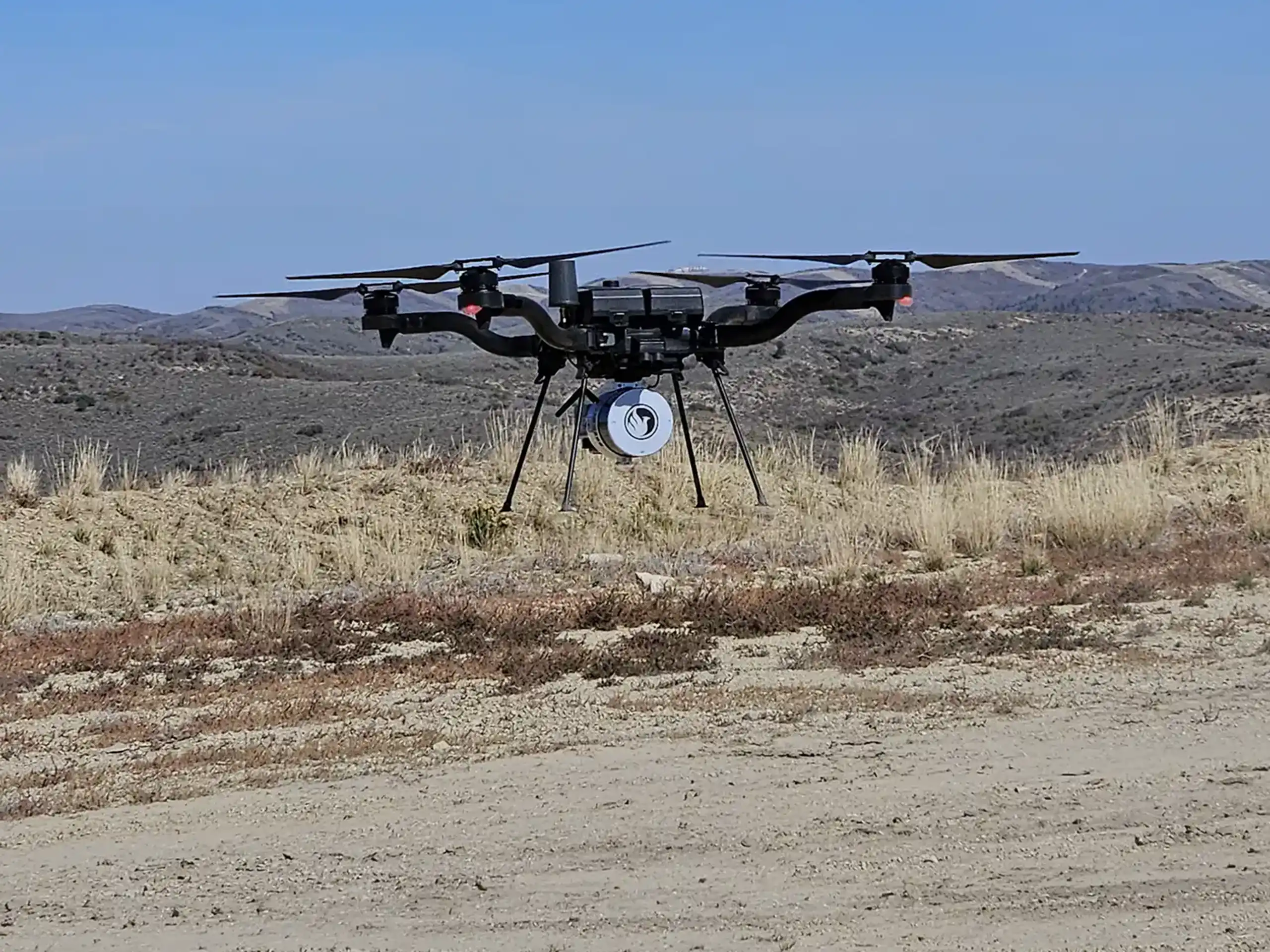
Access to Specialized Equipment – Drone LiDAR relies on advanced sensors and supporting hardware that represent a significant investment. While most project teams choose to work with companies that already own and maintain this equipment, LiDAR services may not be the most cost-effective option for very small or straightforward sites where this level of detail isn’t necessary.
Extensive Data Processing and Storage Needs – LiDAR generates massive datasets that require powerful software, computing resources, and storage capacity. Processing and managing this data takes time and technical skill, which can add to project complexity if not handled by an experienced team.
In summary, LiDAR is a valuable tool for improving accuracy, efficiency, and decision-making on your project. When paired with an experienced team, many of the common challenges associated with LiDAR can be effectively managed or avoided. At Summit LiDAR, our professionals focus on delivering reliable data and practical solutions tailored to your project needs. If you’re interested in learning whether LiDAR is the right fit for your project, contact us to explore your options.