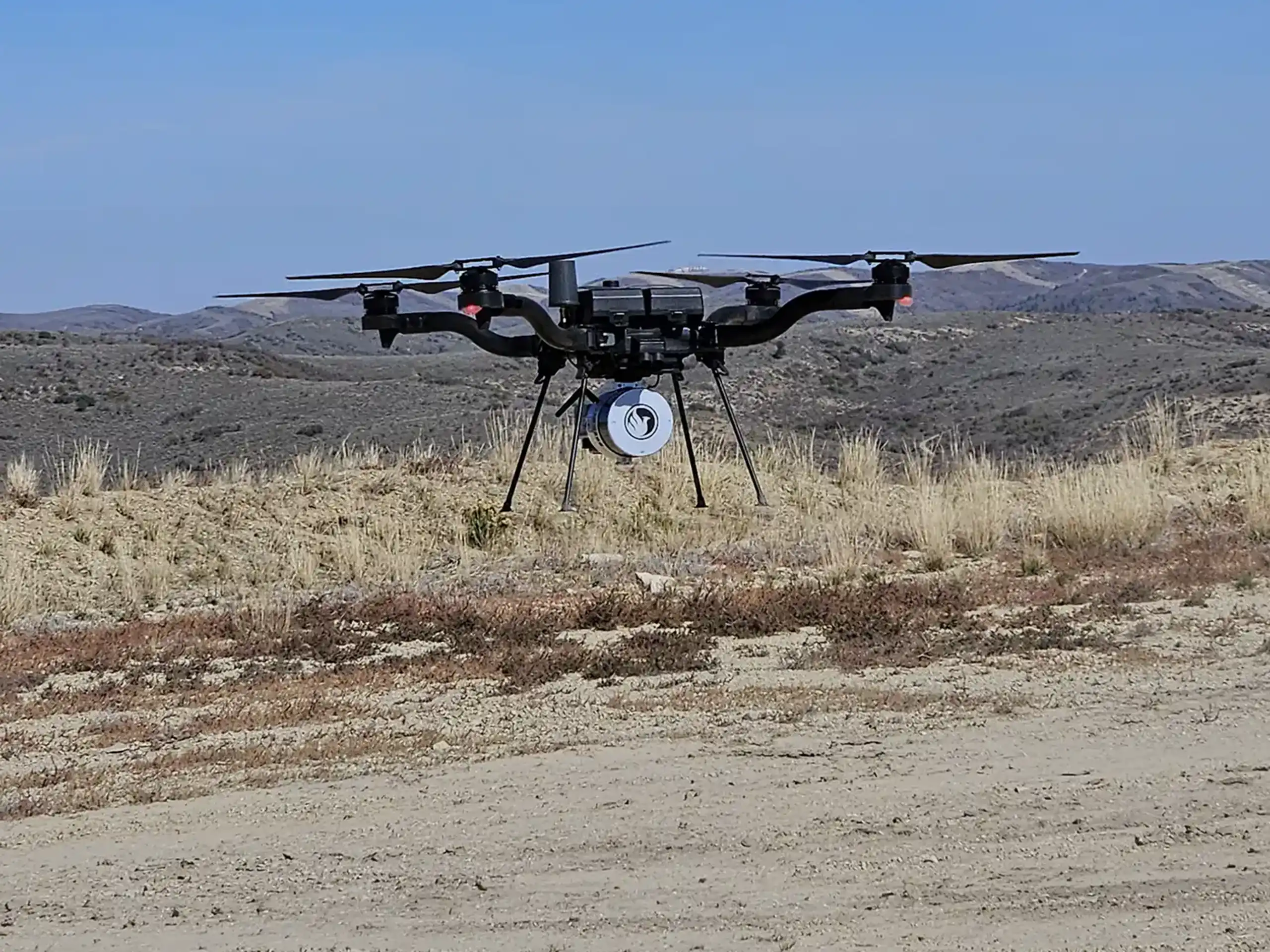
LiDAR drone surveys collect millions of precise elevation points in a single flight. But raw LiDAR data does not arrive ready to use. It requires structured processing before it becomes a usable terrain model, contour map, or volume calculation.
Understanding how LiDAR data is processed helps project teams trust the final deliverables and make informed decisions.
In this blog, we will provide a step-by-step look at how LiDAR data moves from flight to finished product.
Step 1: Data Collection in the Field
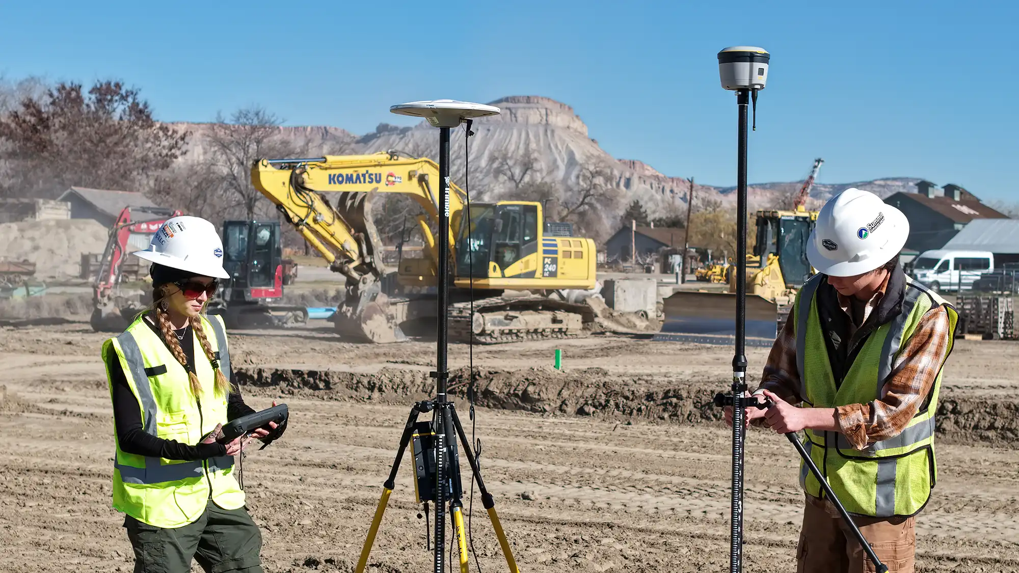
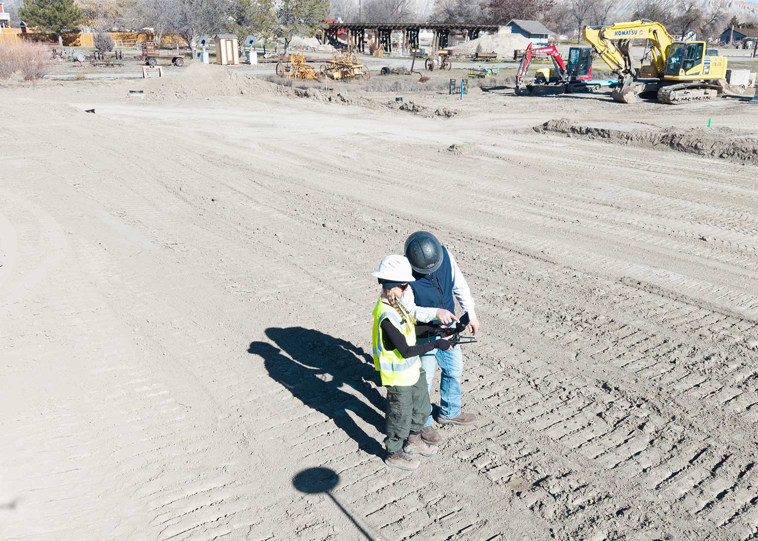
The process begins with a planned drone flight. Before LiDAR or photogrammetry data is collected, technicians deploy Ground Control Points (GCPs) with targets across the site. These targets confirm that the collected point cloud data is accurate and correctly georeferenced .
The LiDAR sensor emits rapid laser pulses toward the ground. Each pulse reflects back to the sensor. The system records the return time and calculates distance. At the same time, the onboard GPS and an Inertial Measurement Unit (IMU) track the drone’s precise position and orientation.
Together, these systems generate a raw dataset in a proprietary format, typically known as a raw point cloud. This raw dataset forms the foundation of all downstream processing.
Step 2: Trajectory Correction
Raw positional data must be refined. After the flight, the software (like LiDARMill) uses the GCPs to correct the drone’s recorded GPS/IMU data. Trajectory corrections use base station data or network corrections. This process improves spatial accuracy by correcting satellite drift and positioning errors.
The corrected flight path, called the trajectory solution, ensures the LiDAR points align accurately with real-world coordinates. Without this step, elevation data could shift or misalign.
Step 3: Point Cloud Generation and Classification
Next, software combines the corrected trajectory data with the raw LiDAR returns. This process produces a georeferenced 3D point cloud. The data is accurate but not yet organized. Next, classification separates useful data from noise.
Step 4: Surface Model Creation
Once classification is complete, the data is converted into usable surfaces.
Two common models include:
- Digital Surface Model (DSM)
Represents everything captured, including vegetation and structures. - Digital Terrain Model (DTM)
Represents bare earth after removing non-ground features.
For grading, drainage, and stormwater analysis, the DTM typically provides the most value.
Step 5: Quality Control and Validation and Deliverable Creation
Quality control ensures the dataset meets accuracy standards.
Technicians verify:
- Vertical accuracy
- Horizontal accuracy
- Coverage gaps
- Alignment consistency
When ground control points are available, they compare survey checkpoints against LiDAR elevations to validate results. This step protects project reliability.
After validation, the processed LiDAR data is converted into final deliverables. Common outputs can include contour maps, volume calculations, 3D surface models, and CAD files. The final format depends on project goals and client needs.
From Raw Data to Reliable Insight
LiDAR drones capture millions of data points in minutes. Turning those points into meaningful terrain models requires structured processing, technical expertise, and careful quality control.
When handled correctly, LiDAR processing produces accurate, actionable data that supports smarter planning and better project outcomes.
The data processing sounds technical, possibly even complex. Our goal with this blog is to clarify the steps in case you want to understand the general workflow. In most cases, this will be happening behind the scenes so that what we deliver to you is in the most helpful format possible. That’s why we start each mission with questions about what you want to achieve and then our project management team can modify the mission to make sure you get what is most valuable for you.
Give us a call when you’re ready to discuss your project goals and we will ensure your data is on point.