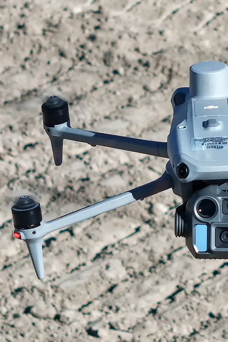
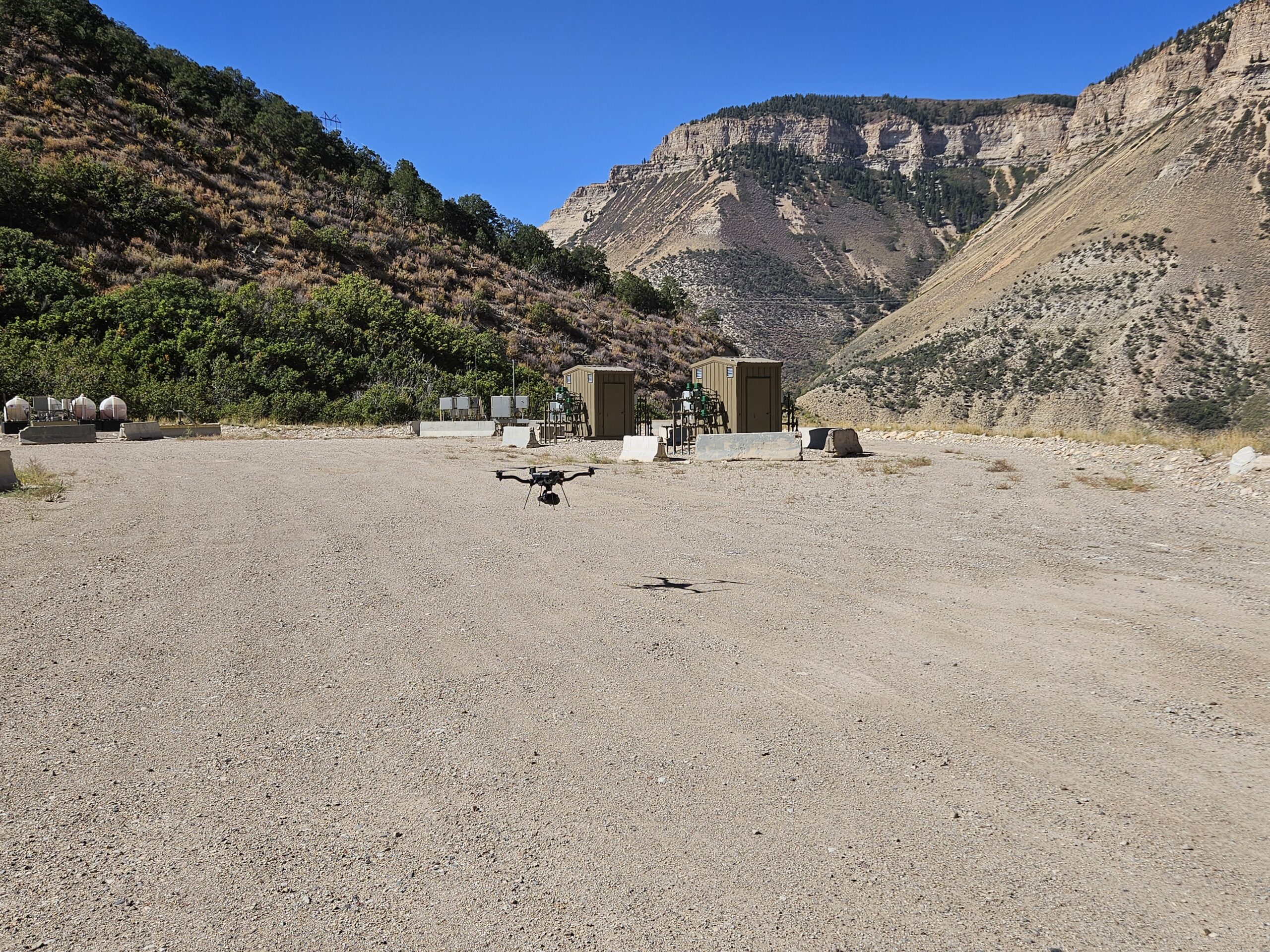
An effective Erosion Control Plan starts with one thing: understanding the site. The more accurately existing conditions are captured, the better engineers and project teams can design stormwater controls that match the terrain and drainage patterns.
Traditionally, this information has been collected through ground surveys and field observations. Today, drone mapping and LiDAR provide an additional tool that allows teams to gather detailed site data quickly and efficiently. While drone data doesn’t replace traditional surveying or engineering design, it does provide valuable information that can help improve erosion control planning.
Why Existing Site Conditions Matter
Every construction site is unique. Differences in elevation, slope, vegetation, and drainage all influence how stormwater moves across a property.
If these conditions aren’t fully understood during the planning phase, stormwater controls may not be placed in the most effective locations. This can lead to increased maintenance, erosion issues, or the need to modify BMPs after construction has already begun.
Having accurate site data from the start helps project teams make more informed design decisions.
How Drone Data Supports Erosion Control Design
Drone mapping captures a detailed representation of existing site conditions before earthwork begins. Depending on the project’s needs, aerial surveys can provide:
- High-resolution orthomosaic imagery
- LiDAR point clouds
- Digital surface models
- Digital terrain models
- Topographic maps and contour data
These datasets allow engineers and designers to better visualize the site and evaluate how stormwater is likely to move across the landscape.
Identifying Drainage Patterns
One of the greatest advantages of LiDAR is its ability to accurately capture changes in elevation. This detailed terrain information helps identify natural drainage paths, high points, low-lying areas, steep slopes, and locations where stormwater may pond after precipitation events. By understanding how water naturally flows across a site, project teams can make more informed decisions when designing erosion and sediment control measures.
Supporting Better BMP Placement
An Erosion Control Plan is only as effective as the placement of its Best Management Practices (BMPs). Drone-derived topographic data provides engineers with a clearer understanding of site drainage, allowing them to determine the most effective locations for controls such as silt fence, wattles, check dams, sediment basins, diversion berms, and inlet protection. Rather than relying solely on field observations, design teams can use detailed elevation data to strategically position BMPs where they will provide the greatest benefit throughout construction.
Monitoring Changes Throughout Construction
Construction sites rarely remain the same from start to finish. As grading progresses and utilities, roads, and buildings are installed, drainage patterns can change significantly.
Repeat drone surveys allow project teams to compare site conditions over time, helping verify that grading activities align with design plans and identify areas where erosion control measures may need to be adjusted.
This ongoing visibility can support more proactive stormwater management throughout the life of the project.
Improving Communication Across Project Teams
Drone mapping products also serve as valuable communication tools. High-resolution imagery and topographic models allow engineers, contractors, inspectors, and project owners to view the same site conditions without relying solely on field notes or site visits.
This shared understanding can improve coordination when discussing erosion concerns, evaluating drainage issues, or planning future construction phases.
Final Thoughts
Drone mapping and LiDAR give project teams a faster, more detailed view of existing conditions, helping engineers design erosion control measures that are better suited to the site. As construction progresses, repeat aerial surveys can also help monitor changes and support ongoing stormwater management.
At Summit LiDAR, we provide accurate aerial mapping and LiDAR data that helps engineers, developers, and contractors make informed decisions throughout every stage of a project—from initial planning to final stabilization.