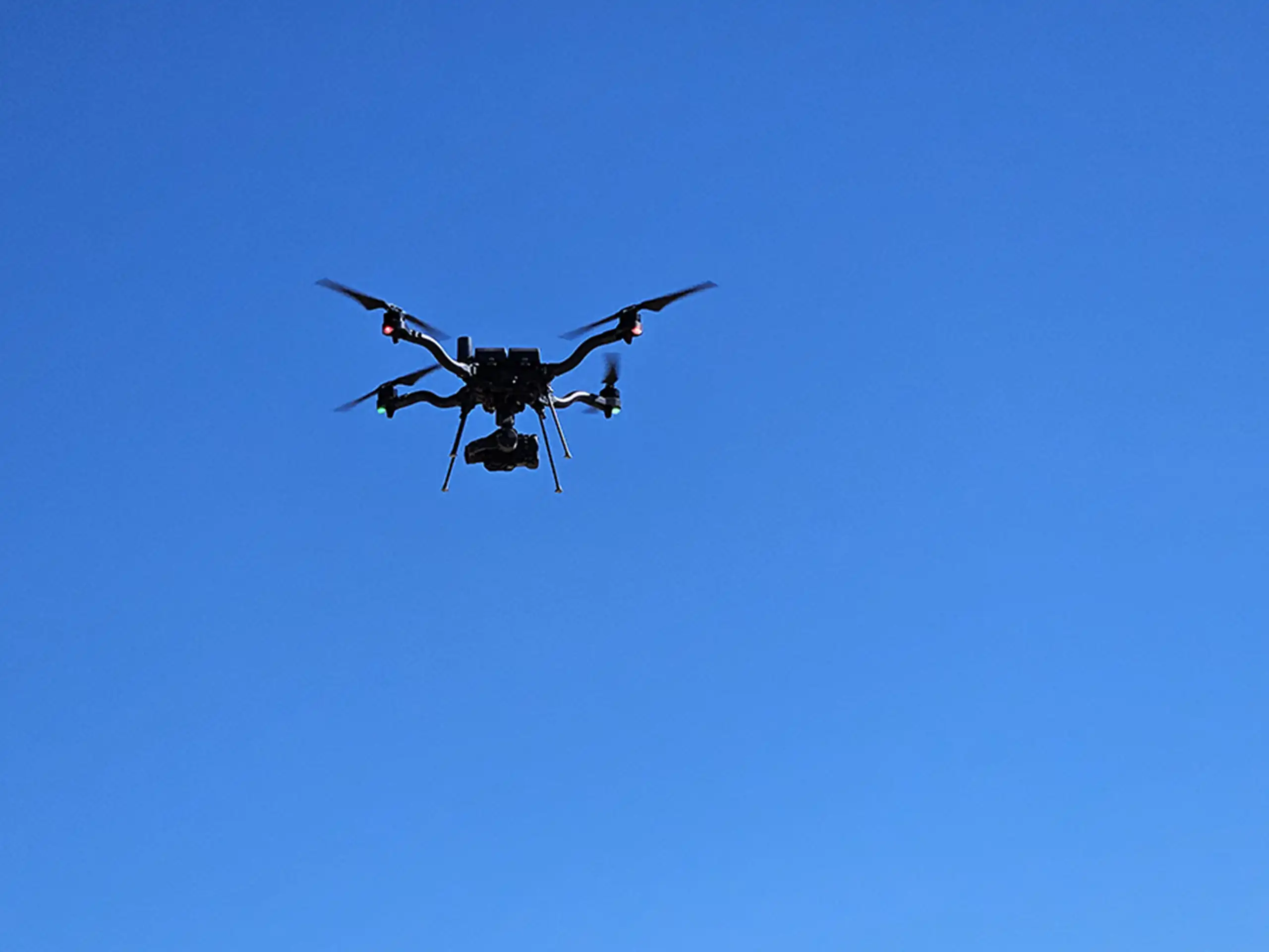
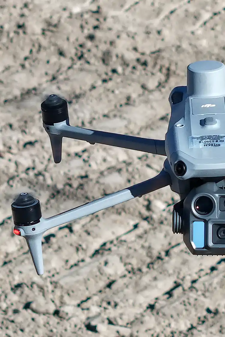
Drone mapping can produce detailed aerial imagery, 3D models, and elevation data for construction, engineering, and land development projects. But when a deliverable is described as “survey-grade,” what does that actually mean?
The term generally refers to data collected and processed to meet specific accuracy and quality requirements for surveying or engineering applications. However, using a drone does not automatically make the resulting data survey-grade. Accuracy depends on the equipment, collection methods, ground control, processing, and quality checks used throughout the project.
What Makes Drone Mapping Survey-Grade?
Several factors influence whether drone mapping data meets the accuracy requirements of a project.
Positioning and Ground Control: Real-Time Kinematic (RTK), Post-Processed Kinematic (PPK), and ground control points (GCPs) can help improve the positional accuracy of drone data. The appropriate method depends on the project, site conditions, and required accuracy.
Equipment and Flight Planning: The drone, sensor, flight altitude, image overlap, and collection strategy all affect the quality of the resulting data. LiDAR and photogrammetry also have different strengths and limitations depending on the site.
Data Processing and Quality Control: Raw data must be processed and checked for errors. Comparing results against independent checkpoints or other reliable reference data can help verify whether the final deliverables meet the project’s accuracy requirements.
Site Conditions: Vegetation, terrain, buildings, and other obstacles can affect data collection. For example, dense vegetation can make it difficult for photogrammetry to capture the underlying ground accurately, while LiDAR may capture ground points through gaps in vegetation.
How Accurate Is Survey-Grade Drone Mapping?
There is no single accuracy standard that applies to every drone mapping project. Required accuracy depends on the intended use of the data, the project specifications, and applicable professional standards.
A dataset suitable for general construction progress documentation may not meet the requirements for detailed engineering design or boundary surveying.
It’s also important to distinguish between relative accuracy and absolute accuracy. Relative accuracy describes how consistently features align with one another within a dataset. Absolute accuracy describes how closely the data matches its true position or elevation relative to a recognized coordinate system or reference.
Both can matter when determining whether drone mapping deliverables are suitable for a particular application.
Can Drone Mapping Replace Traditional Surveying?
Drone mapping can be an efficient way to collect detailed site information, particularly across large areas, complex terrain, and active construction sites. Depending on the project requirements, it can support topographic mapping, grading analysis, earthwork calculations, and construction documentation.
However, drone mapping does not replace every traditional surveying method. Property boundary determination, legal surveys, and other tasks requiring professional surveying services may require a licensed land surveyor and appropriate field procedures.
In Colorado, project teams should confirm whether their intended use requires work performed or certified by a Colorado-licensed professional land surveyor.
What Should You Ask Before Hiring a Drone Mapping Provider?
Before starting a project, ask the provider:
- What horizontal and vertical accuracy can the deliverables achieve?
- How will accuracy be verified?
- Will RTK, PPK, or ground control points be used?
- What coordinate system and vertical datum will the data use?
- Are the deliverables appropriate for the intended engineering or construction application?
- Will accuracy reports or quality-control documentation be provided?
These questions help clarify expectations and ensure the data aligns with the project’s technical requirements.
Final Thoughts
“Survey-grade” is more than a marketing term. It should reflect measurable accuracy, appropriate collection methods, and quality-control procedures that match the project’s needs.
Before choosing a drone mapping provider, identify the accuracy your project requires and ask how that accuracy will be achieved and verified.
At Summit LiDAR, we provide drone LiDAR, photogrammetry, topographic mapping, and other geospatial deliverables for construction, engineering, and land development projects across Colorado. We work with project teams to identify the appropriate data products and collection methods for their project goals.