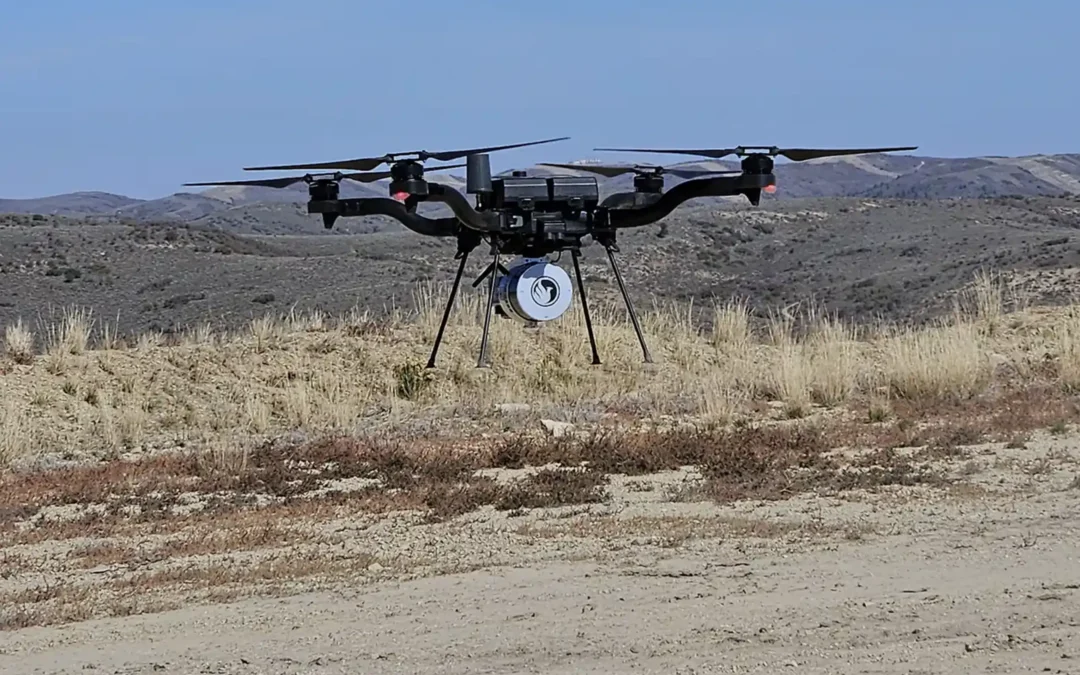
If you’ve researched drone mapping or LiDAR technology, you’ve likely come across the terms PPK and RTK. While they are often mentioned together, they’re not the same thing. In fact, they work together to improve the positional accuracy of drone...
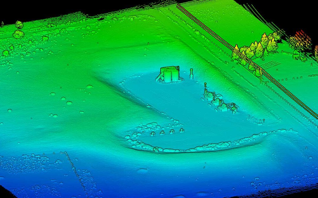
An effective Erosion Control Plan starts with one thing: understanding the site. The more accurately existing conditions are captured, the better engineers and project teams can design stormwater controls that match the terrain and drainage patterns. Traditionally,...
No two drone mapping projects are exactly alike. From active construction sites to remote mountain terrain, every project presents its own set of goals and challenges. One of the things we enjoy most about providing LiDAR and aerial mapping services is adapting our...
In last week’s blog, we discussed AeroPoints. Another technology helping improve accuracy and consistency in drone mapping is PPK, or Post-Processed Kinematic positioning. PPK has become increasingly common in construction, earthwork, surveying, and aacstjerial...
When most people think about drone mapping, they focus on the drone itself. However, some of the most important equipment never leaves the ground. To produce accurate maps, surveys, and volumetric calculations, drone data often relies on ground control points (GCPs)...