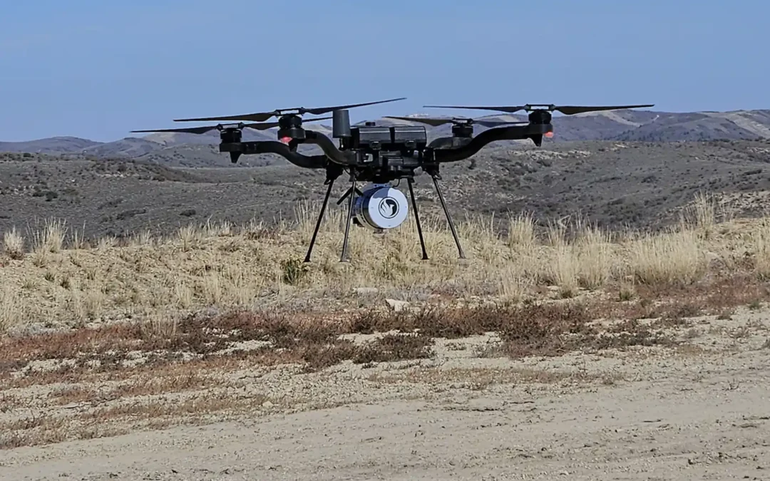
In last week’s blog, we discussed AeroPoints. Another technology helping improve accuracy and consistency in drone mapping is PPK, or Post-Processed Kinematic positioning. PPK has become increasingly common in construction, earthwork, surveying, and aacstjerial...
When most people think about drone mapping, they focus on the drone itself. However, some of the most important equipment never leaves the ground. To produce accurate maps, surveys, and volumetric calculations, drone data often relies on ground control points (GCPs)...
Entering the second half of 2026, Artificial Intelligence (AI) seems to be everywhere. From customer service chatbots to image generation, AI is changing how many industries operate. The drone mapping and the LiDAR industry is no exception. As LiDAR technology...
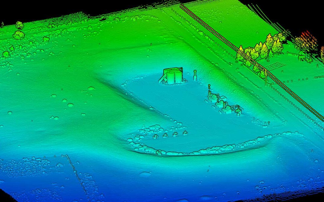
LiDAR can penetrate vegetation, collect data in low-light conditions, and map hundreds of acres in a relatively short amount of time. With capabilities like these, it’s easy to wonder: is there anything LiDAR can’t do? While LiDAR drone surveys offer major advantages...
With the rapid advancement of drone mapping and LiDAR technology, it’s easy to assume that traditional surveying methods are becoming less important. In reality, the opposite is true. Drone mapping works best when it supports the experience, precision, and field...