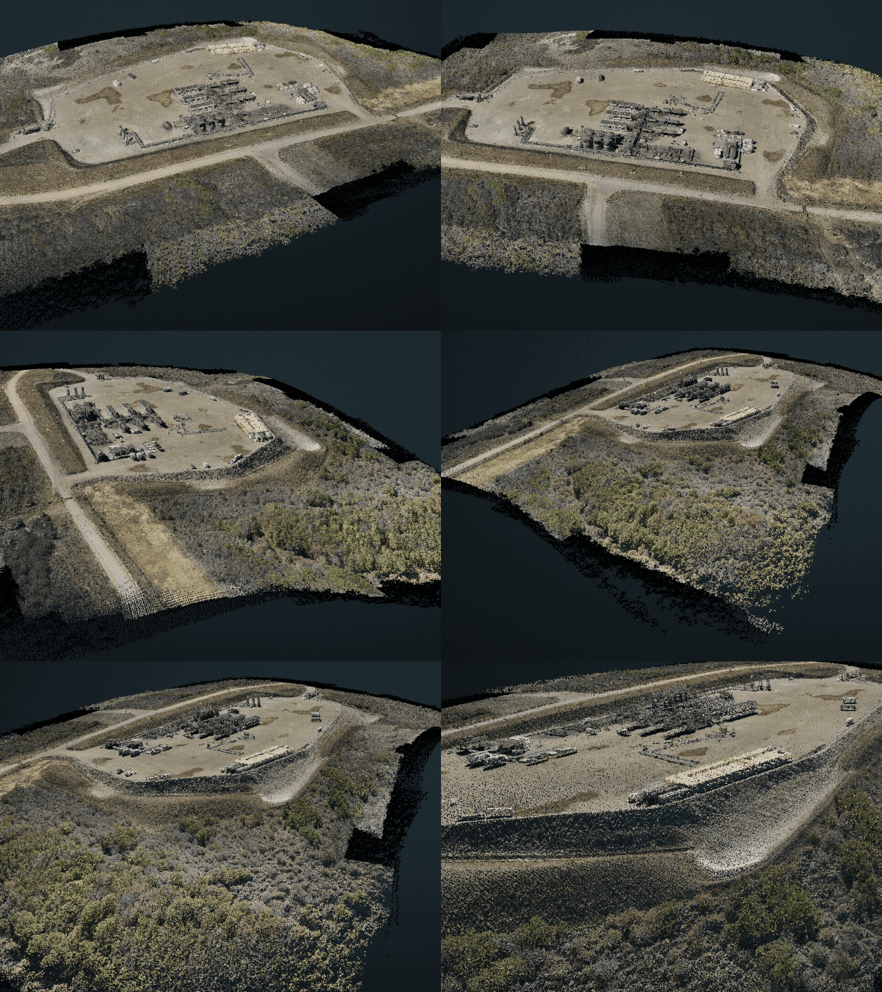
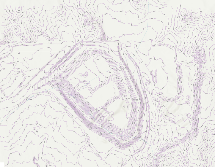
SPCC planning relies on two key questions: if a spill occurs, where will it go? Will your control measures be able to contain it? LiDAR drone reports give operators a clear, data-driven way to answer those questions. By capturing precise elevations across a project or...
Spill Prevention, Control, and Countermeasure (SPCC) Planning is an essential part of the Oil and Gas Industry. Due to the danger that can occur from an oil spill, the EPA requires that facilities develop, maintain, and implement an oil spill prevention plan – in the...
Flying a LiDAR drone over a job site is only half the job. The data that comes off the drone — raw point clouds, navigation logs, and sensor readings — isn’t something you can open in a spreadsheet or hand off to a client. The common question is then, how does...
In addition to LiDAR mapping services, we also provide photogrammetry services across the state of Colorado with hubs in Denver and Grand Junction. Photogrammetry differs from LiDAR in that it captures and compiles aerial photos instead of reflected laser pulses. We...
LiDAR drone surveys collect millions of precise elevation points in a single flight. But raw LiDAR data does not arrive ready to use. It requires structured processing before it becomes a usable terrain model, contour map, or volume calculation. Understanding how...