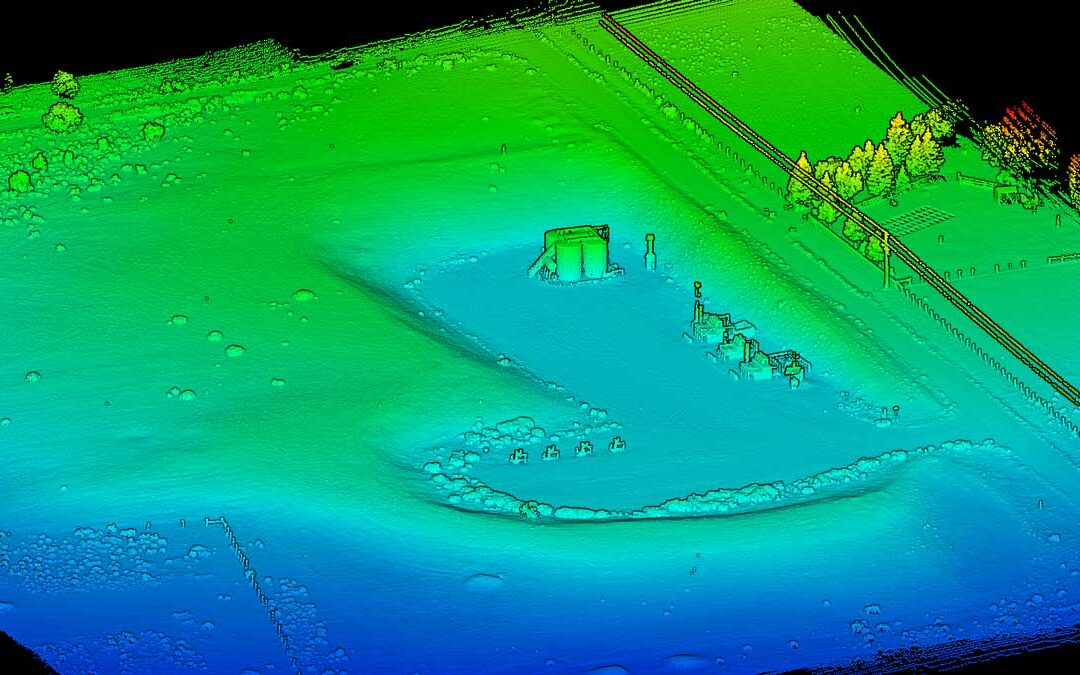
LiDAR is a quickly evolving technology that continues to be in the news. Our goal in sharing industry updates is to identify LiDAR topics that may be valuable to our community. We apologize in advance if this is not comprehensive or up-to-the-minute news. However, we...
At Summit, we focus on making drone mapping and surveying easy to understand for our clients across Colorado. We value clear communication—both in the services we provide and the results you receive. The drone imaging industry often uses technical terms like...
If you’ve worked with Summit Services Group, you already know us. You know our commitment to safety, environmental compliance, and results. You know the people who show up on your job site, and you know we work hard to make your projects run smoothly. Now, you might...
LiDAR drone surveys deliver highly accurate elevation data, detailed terrain models, and fast site coverage. They provide support for construction planning, stormwater compliance, volumetric calculations, and project analysis – to name a few. However, LiDAR drones are...
LiDAR drone technology delivers fast, highly accurate data for teams in planning, design, and construction. As a drone service provider in Colorado, we handle the regulatory side of every flight so our clients don’t have to. Still, it helps to understand how LiDAR...